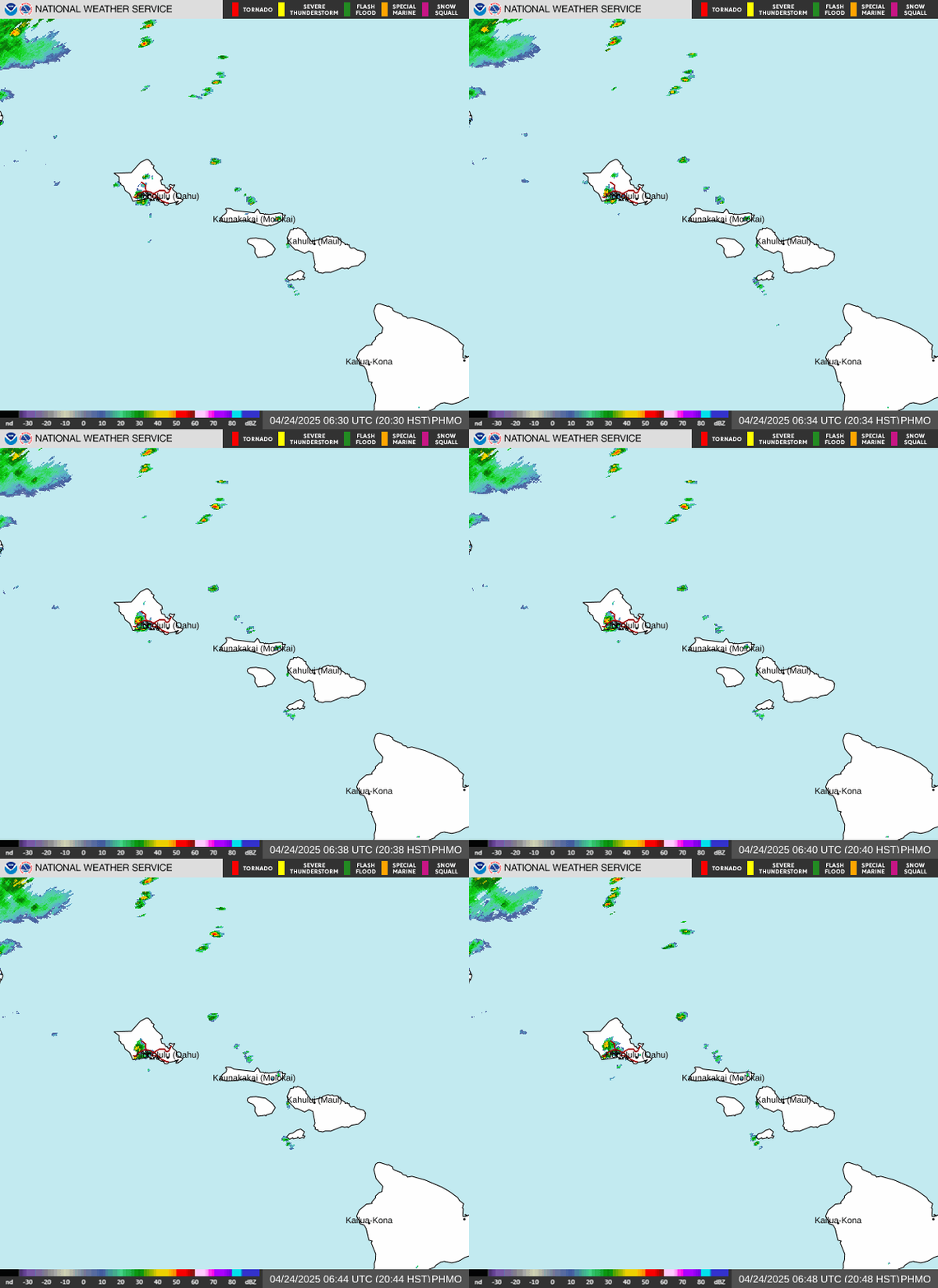
Radar — PHMO
Surface Analysis — United States (CONUS)

Satellite

Log in to save this location.
Breezy trades expected through the middle of next week. An upper level trough and moisture associated with the remnants of norbert will fill in across the state from east to west thursday into friday, increasing the chances of heavy rain, isolated thunderstorms, and flash flooding, especially for the windward and mauka areas. Drier air will move back in this weekend behind the departing trough. Moisture from the remnants of tropical depression 15-E may bring another round of enhanced trade showers around next tuesday and wednesday.
Morning satellite imagery shows an upper level low around 1500 mi north-northeast of the islands with a trough extending southwestward. A few light showers were moving towards the western half of the state with otherwise partly cloudy conditions mainly on the windward side of the islands. Weak trades will strengthen today as the upper level trough approaches.
The upper level trough will dig southwest tonight into thursday, pulling in remnant moisture from norbert. Satellite imagery shows a broad area of precipitable water in excess of 2" to the east, which is forecast to move into the eastern half of the state later today, spreading across the remaining islands tonight into thursday. Deeper moisture and increasing instability will bring moderate to locally heavy showers and a slight chance of thunderstorms, with the highest threat of thunderstorms across the big island thursday afternoon. Heaviest rain is expected on the windward and mauka areas. With soil moisture likely still high from previous heavy rain events, there is an increased risk of flash flooding where heavier showers and thunderstorms occur.
Moisture will decrease from east to west late friday through the weekend. There is the potential for another round of increasing moisture from the remnants of tropical depression 15-E moving into around tuesday to wednesday of next week. Ensembles show at least a weak low-level wave associated with this moisture, though further aloft only 6% of the ensemble members have some form of troughing while the remainder keep US under a ridge, limiting the potential for heavier showers.
Moderate to locally breezy trade winds will strengthen to breezy levels this afternoon and a trough will approach the area from the east. Showers and low clouds associated with that trough will increase with the trade wind flow from east to west starting early tonight for the eastern half of the state, then spread west late tonight into tomorrow morning. More widespread MVFR conditions will be possible as the moisture associated with the trough moves in, especially for windward and mountain areas.
No airmets are currently in effect. There is the possibility for airmet tango during the afternoon once trade winds strengthen. There is also potential for airmet sierra later today as clouds increase on the windward slopes.
A broad trough, associated with the remnants of tropical storm norbert, will approach the state from the east today, allowing moderate to locally strong northeast trades to develop today. A small craft advisory remains in effect for typically windy waters around the big island and maui county through tonight. After the trough moves through the state thursday into friday, a surface high far northeast of the state will maintain moderate to locally strong trades through the forecast period. Above normal moisture and upper level support will allow isolated thunderstorms with heavy rain and gusty outflows to develop over the offshore waters this afternoon through saturday.
A series of long to medium period south-southwest to south swells will continue fill today. Small inconsistent surf will gradually build today becoming more consistent through the rest of week. Surf will near high surf advisory thresholds by this weekend as swells shift more out of a south direction.
Surf along east- facing shores increases today into thursday as trade winds strengthen and a small, medium- period east swell from the remnants of norbert arrives. Flat to tiny surf along north facing shores is expected through the forecast period.
Fire weather risk should remain low through the remainder of the week due to moderate to breezy winds and increased relative humidity and moisture from the remnants of norbert. Showers will dramatically increase late tonight through early friday. Inversion heights will be around 7,500 to 8,500 ft.