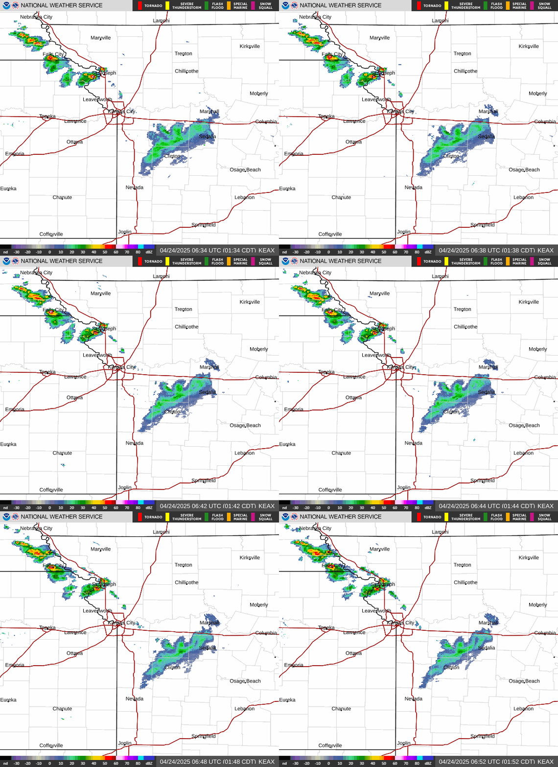
Radar — KEAX
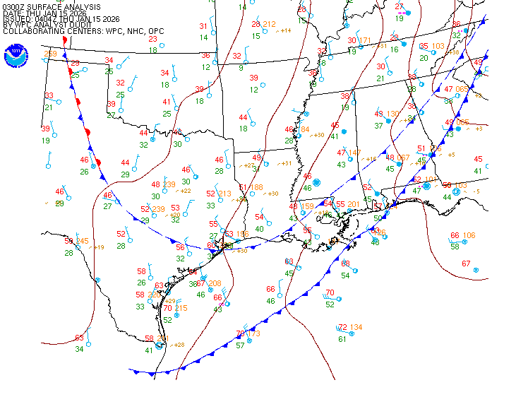
Surface Analysis — Central U.S. (South)
Satellite

Log in to save this location.
Nearest monitored road: US-69 (Primary)
- isolated to scattered (15-40% chance) showers today.
- strong to potentially severe storms are possible monday evening into the overnight hours.
Issued at 259 PM CDT sat oct 31 2026
Isolated to scattered showers continue across the forecast area as a mid-level wave works through the region. Recent regional radar composite imagery shows bands of showers creeping northeastward from northeast oklahoma and southwest kansas. These showers will renew rain chances into the evening hours as the mid-level disturbance rolls through the plains/midwest. Not much of anything to fear, however, as rain is expected to remain light. Little to no instability should keep lightning at bay, but the possibility cannot be entirely ruled out. Pops sit between 15% and 40% across the region, peaking during the afternoon through dusk timeframe. Overnight, a shortwave ridge will build into the plains, keeping sunday dry.
Monday continues to capture our attention. An amplifying upper trough is expected to progress eastward into the central conus and induce surface cyclogenesis. Ahead of this system, deep-layer moisture advection is expected with strong southerly/southwesterly flow from the surface up to practically the tropopause. Forecast pwats continue to approach or exceed the naefs climatological maximum with some forecast soundings suggesting the potential for pwats >1.9". WPC has maintained the marginal risk (level 1 of 4) for excessive rainfall on monday. Despite the highly anomalous moisture profiles for this time of year, antecedent soil conditions remain near normal and should hopefully help limit potential flooding impacts. SHEAR profiles are also rather notable with potential for deep-layer SHEAR to exceed 40-50 KTS. Instability is less impressive (on the order of a few hundred j/kg of CAPE) but would surely be sufficient in such a highly kinematic environment. Lref hodograph plumes for monday evening have a clear preference for a deep veering wind profile with mean 0-3km srh >250 m2/S2 with the 10th percentile 0-3km srh around 180 m2/S2. While damaging winds appear to be the main concern for our area, there looks to be support for a tornado threat at least some point during the evening. How much this threat is realized seems dependent on the timing of storms as SHEAR profiles become less supportive as the evening progresses. Improved temporal resolution of guidance in forthcoming shifts should help clarify the evolution of the environment on monday. The current, general expectation for events on monday is for convective initiation to occur further west before growing upscale, leading to a more linear storm mode locally. SPC has expanded the marginal risk (level 1 of 5) for severe weather to include more of northwestern missouri; eastern kansas and western missouri still remain in this risk category as well. A slight risk (level 2 of 5) for severe weather clips linn county, ks.
Some rain and storms may bleed into the day on tuesday but are currently expected to clear by the evening hours. Behind this system, cooler temperatures settle in for the mid/late week with high temperatures generally in the low to mid 60S.
Issued at 1057 PM CDT sat oct 31 2026
MVFR stratus is expected to develop around 12Z sunday morning and may hang around for the better part of the day with light east- southeast winds. Potential for patchy drizzle in the 11-16Z time frame. Light rain/drizzle possible sunday afternoon across central mo. Southeast winds increase sunday night ahead of much stronger trough approaching from the west.