Radar — KUEX
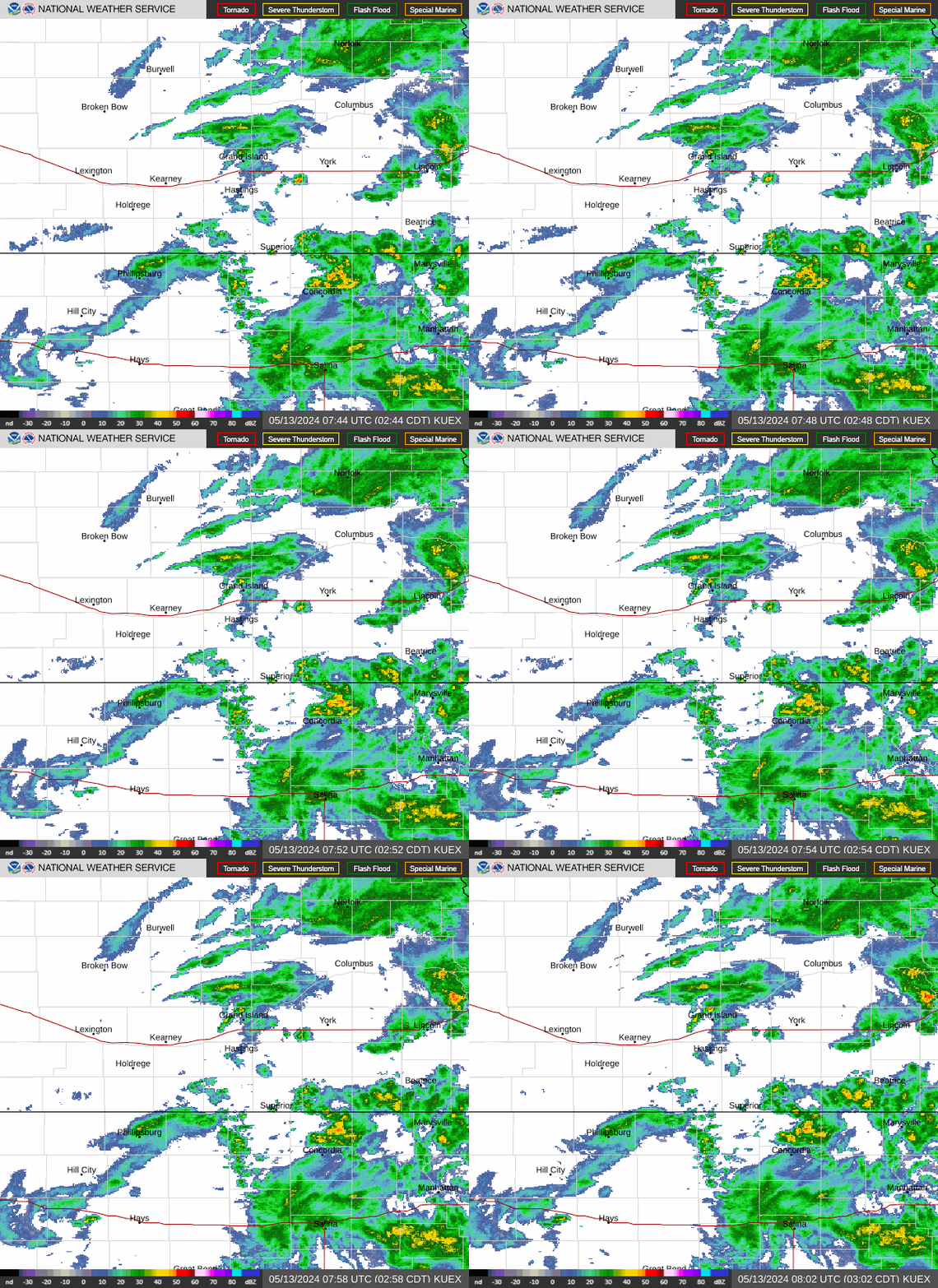
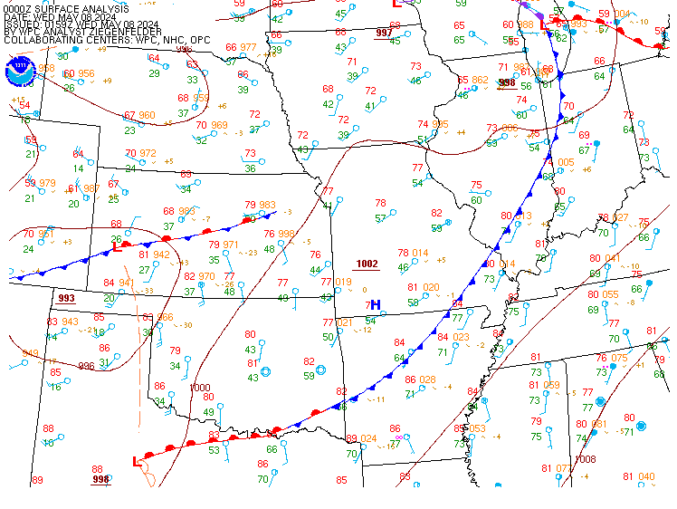
Surface Analysis — Central U.S. (Central)
Satellite

Log in to save this location.
- widespread dense fog looks probable tonight (70-90% chance of occurrence). Local visibilities could drop below 1 mile anytime between 2AM and 11AM.
- a handful of light showers could bud into a few portions of the area tonight and mainly thursday morning (20-50% chance). The better potential for more widespread storms will come off- and-on over the weekend (up to 40-80% chances).
- a few storms developing across a cold front friday night may have the potential to become severe (marginal sever weather outlook). There is some question regarding total coverage of these storms, especially across portions of the area west of the tri-cities.
- highs will peak friday (mid 80S to low 90S) before dropping down to primarily the 70S for at least the first half of next week.
Issued at 245 PM CDT wed sep 16 2026
Brief synopsis...
Higher pressure across the southeast u.S. With a cutoff low centered across northern california and southwest oregon today, keeps the central plains region underneath southwest flow. This pattern tends to be fairly unstable as it only takes a weak embedded shortwave disturbance to initiate scattered showers or thunderstorms (lower than usual short-term forecast confidence). The better forcing for widespread precipitation will come over the weekend when the cutoff low weakens back to a broad trough and takes a run at the central u.S. Overall, high temperatures will be on track to peak for the week on friday (mid 80S to low 90S) before embracing the 70S for much of the start of next week.
Tonight...
Low-level stratus continues to loom across the area this afternoon, helping to keep highs from escaping the 70S. Though a few pockets of drizzle or light rain can't be ruled out tonight (20-50% chance), the latest models have seemed to back off some with the precipitation potential (10-30% href probs). In all, the best time window for any coverage of scattered light rain showers will mainly occur between the 1-9AM time range. Accumulations will be minimal (<0.25") with most areas only receiving a trace to a few thousandths of an inch of precip. The other main weather concern tonight would be for the possibility of dense fog. Virtually all href members (80%) including the rrfs, point towards a widespread coverage of dense fog tonight. Given the weak easterly surface winds (upslope flow) with high moisture concentrations (60S dewpoints), the potential for fog development appears almost certain. In addition, forecast lows are projected to reach the 60S (approaching dewpoints), a high indicator for condensation or fog.
Thursday & beyond...
Temperatures will gradually rise a through friday (mid 80S to low 90S highs) as clearing skies couple with southerly warm air advecting winds once more. This heat will likely remain short-lived as a cold frontal passage overnight friday flips the winds north again, dragging in a cooler and drier airmass. Highs on the other side look to return to the 70S to mid 80S saturday and the upper 60S and 70S sunday through tuesday.
The next best chance for precipitation (20-50%) lies overnight friday with the coming of the cold front (and the upper-level trough/disturbance aloft). The main uncertainty at the moment would be for how far south and west thunderstorms are able to form. The latest high-resolution models/cams paint much of northeast nebraska to be under siege from these storms with a few initializing across central nebraska. Conditions wise, the instability axis (the most common path for storms to follow ... Where CAPE >2,000j/kg) is modeled to set up just northeast of the tri-cities. The factors that, however, keep confidence for severe convection low for now would be from minimal SHEAR (20-30KTS) and degrading lapse rates overnight that could thwart overall storm intensity. In case of an earlier arrival of storms friday evening instead of night (slightly more severe conducing ingredients), the SPC includes the southeast 2/3rd of the area under a marginal risk (level 1 of 5) for severe weather. Scattered storms chance return saturday and sunday.
Looking well beyond for the end of week forecast next week, highs may be possible to warm back up a few degrees. Cluster analysis begins to diverge between the next wednesday to next saturday timeframe as the ensembles start to show more variance (spread of possibilities). The leading cluster, explaining around 40% of the variance, favors broad ridging in the central u.S. This pattern would support the warmer temperatures and possibly a less frequency of precipitation chances.
Issued at 1234 PM CDT wed sep 16 2026
For kgri/kear airports:
Low ceilings will be expected to hang around for most of the day and night. Current ceilings as low as 500ft early this afternoon may not be able to recover much today. The latest guidance shows that bases may briefly become VFR for kear sometime between 0-5Z, although that is not very likely to be the case for kgri (may keep bases under 3,000ft through the period). IFR and LIFR cloud bases will be likely to return to both kear/kgri between 5-16Z with visibilities under a mile for a majority of that time (dense fog appears likely).
Though a few showers may pop in and out of the area throughout the period, it is not likely for showers to persist for very long. Wind speeds will mainly stay out of the south or east with speeds no higher than 10KTS.