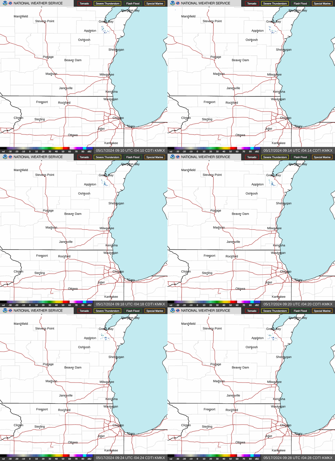
Radar — KMKX
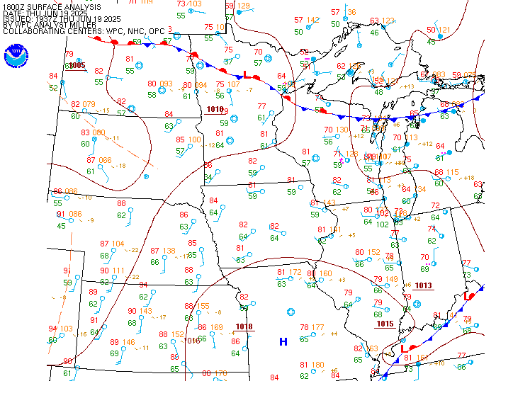
Surface Analysis — Central U.S. (North)
Satellite

Log in to save this location.
- isolated sprinkles/showers possible near the wisconsin- illinois border through this afternoon, with better chances (20-40%) for scattered showers across the area tonight into thursday morning. Best chances near the wi/il border
- higher chances for showers and storms arrive friday-friday night, continuing off & on into early next week. Will be watching for locally heavy rainfall friday through saturday.
Issued 145 PM CDT wed sep 16 2026
Tonight through thursday night:
Continuing weak chances for showers near the wi/il border is to be expected given increased mid level moisture and some waa but most of the precip will be kept further south with the higher pressure over the region keeping precip further south where the better upper level forcing is. However, as the stronger portion of the high pressure pushes out tonight we will see increased rain and even weak storm chances as some upper level shortwave energy slides it with even some weak llj helping out with some waa. Another high pressure will strengthen and push into south central canada nudging into the western great lakes. This will again shove precip chances largely out of the area to the south thursday morning. Though there is some uncertainty on to what degree precip will be pushed southward and there will remain weak chances near the wi/il border through the day thursday.
Thursday night, things will quiet down for a period as the high pressure swings through the great lakes region. This will be ahead of an impending low pressure system expected to push in friday.
Kuroski
Issued 145 PM CDT wed sep 16 2026
Friday through wednesday:
Latest models have shown the exit of the high pressure slowing down and thus the approaching low and corresponding precip expected has also slowed down. However, friday, later during the day we should start to see precip gradually push in from the west and overspread the region by the late overnight hours with precip potential lingering through much of the day saturday. Deep moisture with strong waa from a moderate llj as well as upper level shortwave energy the forcing and moisture are plenty enough. This is all in addition to very strong fgen. While strong storms are not expected with this system, the pwats over 2 inches for much of the event lend itself to the thought that it could be a very efficient rainfall with some lightning intermittently.
The prolonged nature of this event in combination with its potentially high efficiency does yield some concerns about flooding potential, especially in the areas with highest fgen. While flash flooding given the style of the event is unlikely we cannot completely rule out flash flooding style impacts with potential for significant ponding of water. However, generally this is not expected to cause major concerns. Rivers are not expected to be significantly impacted either given the lower river levels and dryness of soils overall which should allow (with non- thunderstorm rain) for decent infiltration and less runoff. There still remains some questions about whether models are overdoing the potential rain amounts but the result of this should largely come down to track, speed and the efficiency of the system which is still somewhat in doubt so we will have to continue to monitor these aspects to better understand what this event might look like. In addition, latest models are also prolonging the exit of rain as well keeping rain potential into and potentially even through sunday as a secondary low may lift far enough north to bring additional high efficiency precip to parts of the cwa though its worth mentioning that there is higher uncertainty due to the interactions with the developing high in southern canada with the low.
This may very well continue into monday as well as what appears to be a tertiary low ejecting from the central US brings another round of potential precip to southern wi. Uncertainty remains high out this far but models are in fairly good agreement on this. This could make for 4 straight days of rain and potential for higher end amounts. This will be something to watch as it could introduce potential for 3-5 inches of rain with pockets of over 7 inches from friday through monday. Rain monday does appear to at least be lighter in nature due to the pwats coming back down but pwats likely remain high (>1.75 in) through sunday.
Into midweek, forecast becomes much more uncertain and while much drier conditions should be expected generally it is not do say that we will not see any storms or showers just that we do not expect an all day rain situation. Some upper level trough/shortwaves could play a role in exactly what to expect for the midweek period with chances for showers/storms possible.
Kuroski
Issued 140 PM CDT wed sep 16 2026
Quiet conditions for the most part for the rest of the day today and into the evening with VFR conditions expected, though a few pockets of MVFR cigs will be possible, especially closer to the wi/il border. Into tonight we will start to see some isolated to scattered showers and storms push in from the west with more widespread showers and perhaps even a few storms near the wi/il border. Overall the chance for showers has decreased with precip looking more isolated than previous model iterations though near the border will feature the best chances for showers and storms. In addition during this period MVFR to even IFR cigs should be expected that will carry on after rain pushes out through at least the early morning hours thursday. With any rain showers expect potential for at least minor vsby degradation. Otherwise expect largely light east winds turning northeast thursday morning.
Kuroski
Issued 145 PM CDT wed sep 16 2026
High pressure around 30.4 inches continues to track east across southern ontario with mostly northeast winds. Predominantly light and variable winds expected late tonight through thursday as high pressure continues to build eastward and additional reinforcing high pressure builds back in across the canadian prairies.
Breezy east to northeast winds may then develop friday into this weekend as low pressure around 29.8 inches develops in the central plains and lifts into the upper midwest by saturday. Gusty southeasterly winds develop saturday as low pressure approaches, crossing the southern portion of the lake as high pressure continues across ontario, bringing continued generally easterly winds and perhaps gales at times throughout the day. Saturday night, winds turn northeasterly, continuing through sunday. Gale potential diminishes late saturday night, although gusts around 30 KT are possible through sunday for the southern two-thirds.
Kuroski