Radar — KBYX
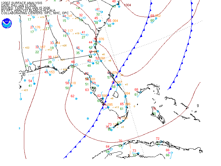
Surface Analysis — Eastern U.S. (South)
Satellite

Log in to save this location.
- well above normal rain chances (around 60-70%) will persist across the florida keys through the weekend and possibly into early next week.
- heavy rainfall is becoming increasingly likely. Most locations in the keys can generally expect 2 to 4 inches of rainfall through sunday, with locally higher amounts possible.
- gentle to moderate (10 to 15 MPH) breezes will relax by friday. While breezes will then be light to gentle (5 to 10 MPH) through the weekend, gusty winds will be possible with any thunderstorm.
(18Z tafs) issued at 151 PM EDT wed sep 16 2026 while VFR conditions will persist across the terminals, bouts of fast moving showers and thunderstorms will be possible through 18Z thursday afternoon. After a general lull through much of the early evening hours, coverage is expected to increase for the overnight period into thursday morning. Have included a general mention of vcsh in the tafs for now due to the chaotic nature of the activity and lack of confidence in timing. Sub-VFR impacts to visibilities and ceilings will be left for later taf amendments, including possible tempo groups.
Issued at 407 AM EDT wed sep 16 2026 the wet pattern is expected to get wetter over the next couple of days. Ridging to our north will maintain a moderate northeast to easterly steering flow that will encourage a deeper boundary layer, moisture flux and cell formation. In addition, complicated mid and upper level troughing will congeal over the bahamas and contribute to a broad lower level trough underneath. The already ample moisture along with lower mid level heights, and broad lower level troughing should result in rain chances ticking higher over the next couple of days. No significant trend in temperatures are expected. Highs should still be able to push near 90 with lows in the lower 80S. Dew points will remain in the mid to upper 70S.
Rain chances may be slow to come down later in the week and this weekend. The surface high to our north will gradually transition into the atlantic and weaken while the low/trough complex over US will try to shift westward into the gulf. This will keep deep layered moisture elevated across our region as a broad zone of moist confluent flow will naturally persist between the nearby trough and the high which will have moved off the atlantic coast. While winds are expected to trend downwards through this timeframe, there is enough in place to maintain high to likely rain chances through the medium range forecast, and possibly even longer. With all that said, uncertainty is usually high.
Issued at 935 AM EDT wed sep 16 2026 scattered showers and thunderstorms will grow in coverage and intensity by late evening into the overnight hours. Any stronger thunderstorm will be capable of producing gusty winds, as well as suddenly building and confused seas.
From synopsis, gentle to moderate northeast to east breezes will prevail through thursday, as a ridge continues to build southward over the eastern united states. Winds will then slacken and shift east to southeast through the remainder of the week, as the high weakens and slips into the western north atlantic. A wet pattern will persist across keys coastal waters through sunday, as an upper- level low retrogrades westward towards the florida keys.
Key west 91 81 91 80 / 60 60 60 60 marathon 90 81 89 81 / 60 60 60 60