Weather Lookup

Log in to save this location.

Current Conditions — KLAF

61°F Light Rain
Humidity 72%
Wind 6 mph SSW
Visibility 7.0 mi
Pressure 30.24 inHg
UV Index 1 · Low
Air Quality 32 · Good
Sunrise 7:18 AM
Sunset 5:43 PM

Hourly Forecast — Lafayette,IN

1:00 AM 59°F Patchy Drizzle 💨 5 mph SSE
2:00 AM 59°F Patchy Drizzle 💨 5 mph SSE
3:00 AM 57°F Patchy Drizzle 💨 5 mph SSE
4:00 AM 57°F Patchy Drizzle 💨 6 mph SSE
5:00 AM 57°F Patchy Drizzle 💨 6 mph SSE
6:00 AM 56°F Patchy Drizzle 💨 6 mph SSE
7:00 AM 56°F Patchy Drizzle 💨 7 mph SSE
8:00 AM 56°F Patchy Drizzle 💨 8 mph SSE
9:00 AM 58°F Patchy Drizzle 💨 9 mph S
10:00 AM 59°F Patchy Drizzle 💨 10 mph S
11:00 AM 61°F Patchy Drizzle 💨 12 mph S
12:00 PM 63°F Patchy Drizzle 💨 12 mph S
1:00 PM 63°F Patchy Drizzle 💨 12 mph S
2:00 PM 64°F Patchy Drizzle 💨 12 mph S
3:00 PM 64°F Patchy Drizzle 💨 12 mph S
4:00 PM 65°F Patchy Drizzle 💨 12 mph S
5:00 PM 65°F Cloudy 💨 12 mph SSE
6:00 PM 64°F Cloudy 💨 12 mph SSE
7:00 PM 63°F Cloudy 💨 12 mph SSE
8:00 PM 61°F Cloudy 💨 13 mph SSE
9:00 PM 61°F Cloudy 💨 13 mph S
10:00 PM 61°F Mostly Cloudy 💨 13 mph S
11:00 PM 61°F Mostly Cloudy 💨 13 mph S
12:00 AM 61°F Mostly Cloudy 💨 13 mph S

Daily Forecast — Lafayette,IN

Overnight 55°F Patchy Drizzle 💨 6 mph SSE
Monday 65°F Patchy Drizzle 💨 6 to 12 mph SSE
Monday Night 59°F Mostly Cloudy 💨 14 mph S
Tuesday 77°F Partly Sunny 💨 15 to 20 mph S
Tuesday Night 59°F Rain Showers 💨 17 mph S
Wednesday 68°F Rain Showers 💨 10 to 15 mph SSW
Wednesday Night 47°F Chance Rain Showers then Partly Cloudy 💨 5 to 9 mph SW
Thursday 64°F Mostly Sunny 💨 5 to 12 mph SW
Thursday Night 46°F Mostly Cloudy 💨 1 to 7 mph W
Friday 59°F Slight Chance Light Rain 💨 1 to 7 mph NW
Friday Night 40°F Mostly Cloudy 💨 0 to 6 mph NW
Saturday 58°F Partly Sunny 💨 0 to 3 mph WNW
Saturday Night 39°F Mostly Cloudy 💨 2 mph W
Sunday 60°F Mostly Sunny then Slight Chance Light Rain 💨 1 to 6 mph WSW

🚗 Road Conditions

Good

Nearest monitored road: South Street (Primary)

1:45 AM Good
2:00 AM Good
2:15 AM Good
2:30 AM Good
2:45 AM Good
3:00 AM Good
4:00 AM Good
5:00 AM Good

Forecast Discussion — IND

View Full Discussion on NOAA →

Key Messages

- light rain and drizzle to continue at times through tomorrow

- warmer than normal temperatures continue through tuesday

- rain chances return tuesday night with a few rumbles of thunder possible

- cooler but still near seasonal normals late week into the weekend

Forecast Update

Issued at 850 PM EST sun nov 1 2026

Moisture will continue to advect into central indian over the next 12-24 hours slowly saturating the lower levels of the troposphere. Saturation has already starting over SW portions of the area where weak confluence has allowed for slightly greater upward motion with mid level rainfall processes leading to lower level saturation. This will be the primary area of concern for fog and drizzle development tonight as an already saturated layer becomese condensed beneath weak subsidence.

For the remainder of the area, patchy drizzle and decreasing cloud depth is expected. Drizzle may become heavy enough at times monday morning for slight reductions is visibility (4-6sm), but otherwise not impacts are expected.

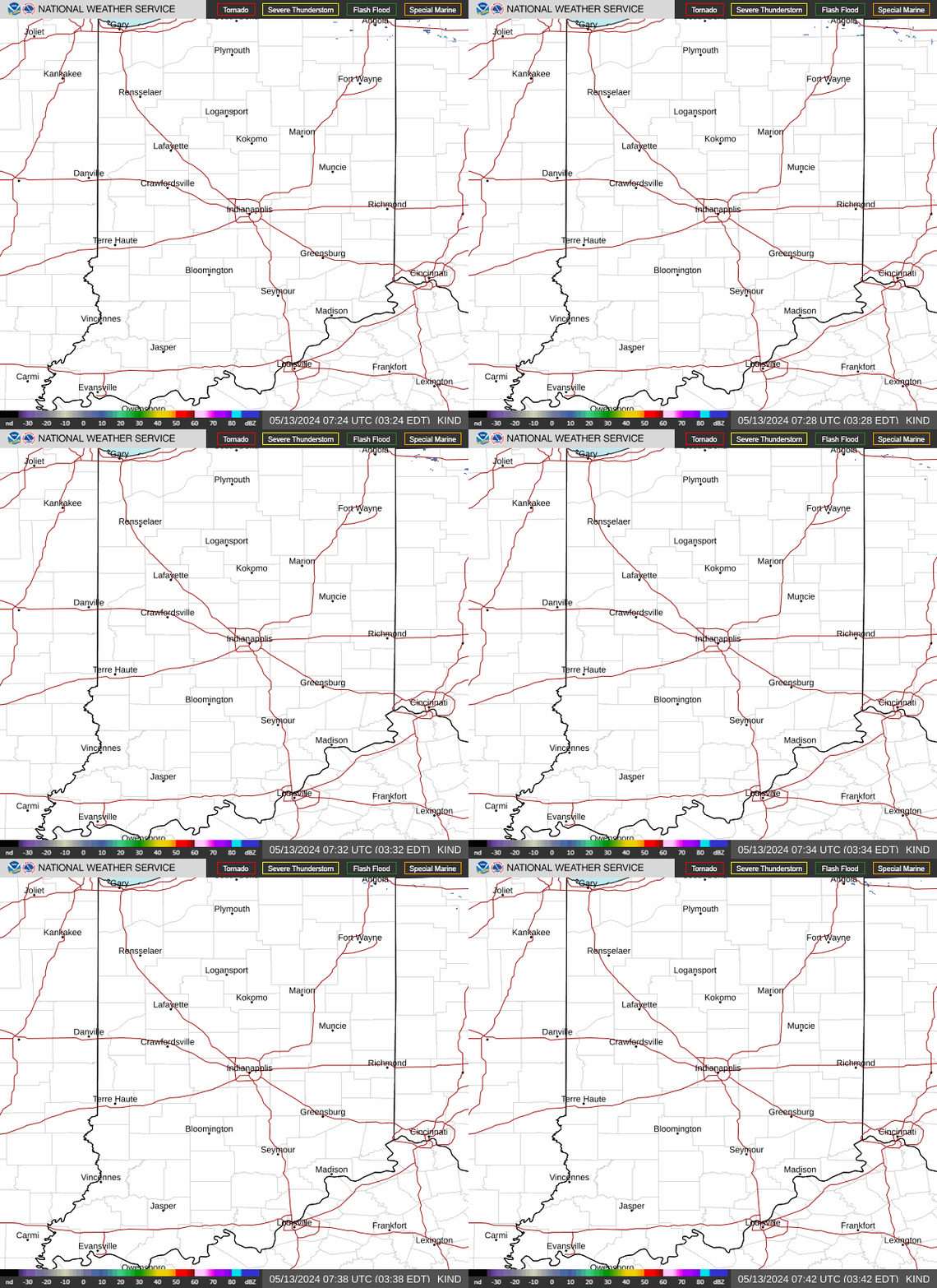
Radar — KIND

Radar loop for KIND

Surface Analysis — Central U.S. (Central)
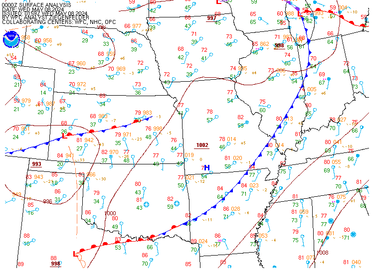
Surface map for Central U.S. (Central)

Satellite

Satellite imagery
Expanded view