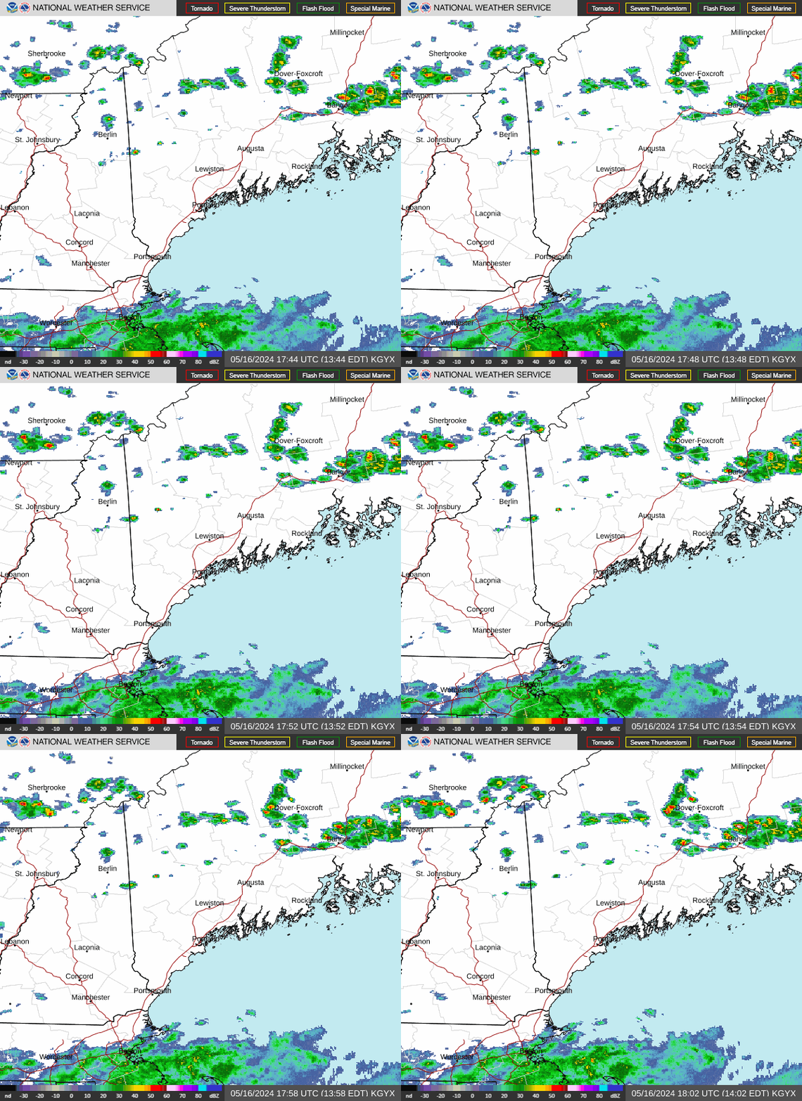
Radar — KGYX
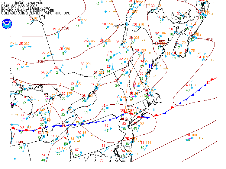
Surface Analysis — Eastern U.S. (North)
Satellite

Log in to save this location.
Nearest monitored road: US-202 (Primary)
High resolution models have become a little bit more optimistic with regards to pockets of heavier rain this evening across portions of southern new hampshire and southwest maine.
1. A quick moving low and front will lead to increasing rain chances this afternoon through the first part of tonight. Expect some gusty winds behind the front on friday afternoon.
2. Another rainy sunday will be followed by mostly dry weather through much of next week, with temperatures running near to slightly below normal.
Key message 1 description...
As an upper level shortwave approaches, a weak surface low will move from eastern new york early this afternoon to the southern new hampshire/maine border by the evening. These features will lead to increasing rain chances later this afternoon before expanding north and east into western maine through the first part of tonight. The highest chances (60 to 90 percent), will be along the track of the low and trailing cold front, which should move across southern new hampshire and into portions of the western maine foothills, the interior, and the coast. Cams have come into fairly solid agreement on the track of heavier showers and rap soundings suggest that we could see some mucape around 100 j/kg. Thus, there will be a convective element to this precipitation which may lead to some pulsey embedded downpours. A rumble of thunder or two can't be ruled out, either. Best guess is that we will see the higher totals in the 0.5 to 1 inch range which matches well with what the 12Z href mean is advertising, but href 24-hour max QPF does suggest the potential for some 1.5 to 2 inch totals. Thus, some locally higher totals will be possible depending on how convection evolves. Rain will then move out quickly overnight as the low moves into the gulf of maine.
Behind the cold front, we should see plenty of sunshine and a stiff breeze on friday. While pressure rises are not overly impressive, we will see some decent cold air advection and steep low-level lapse rates. Forecast NAM and GFS soundings suggest that we will see 30 to 35 knots at the top of the mixed layer so with the favorable lapse rates, widespread gusts in the 25 to 35 MPH range seem reasonable. The strongest winds appear to be most favorable over maine. Gusty winds could lead to a limited power outage threat from any branches that come down. Winds will diminish rather quickly around and after sunset friday evening, becoming calm overnight. While we could still have some lingering high clouds around, we should have some areas that will see favorable conditions for radiational cooling. Overnight lows may dip into the low to mid 30S along and north of the mountains, with values in the upper 30S to mid 40S elsewhere. Some areas of frost will be possible across the north.
Key message 2 description... High pressure slides through the region saturday which will make it the pick of the weekend. Upper level troughing drops 850 mb temperatures to +2 to +5 c, so it is going to be on the cooler side with highs capping out in the low to mid 60S. Clouds increase saturday night as a shortwave moves through the broader trough toward our area and high pressure begins to push offshore. Temperatures fall into the mid to upper 30S north of the mountains, and into the low to mid-40S south.
High pressure continues to stay nosed in through sunday morning, but rain moves into new hampshire by sunday afternoon as a wave of low pressure takes a track through southern new england. This creates some uncertainty in the northward extent of the precipitation shield, but forcing from the shortwave should be enough to get measurable rainfall up through most of the area. The higher rainfall totals are likely going to fall south of concord where better forcing is going to overlap with higher moisture. Nbm is currently advertising probabilities of a half inch around 40 to 50 percent in that area.
Rain wraps up overnight and by late monday morning most of the area should be back under mostly sunny skies. Global models are in good agreement that strong high pressure builds and then settles over the region through most of next week. This brings mostly dry conditions with daytime temperatures in the 60S. Nighttime temperatures are mostly going to be seasonable as well (ranging from the upper 30S in the north to 40S in the south), but high pressure overhead usually allows for radiational cooling and i would not be surprised if we see frosts in northern zones more than once.
For the rest of the day, MVFR cigs are possible with fog and marine stratus potentially bringing IFR to pwm and rkd as early as this afternoon. Elsewhere, cigs lower to MVFR through the afternoon with increasing chances for rain showers, and then ceilings further lower to IFR or lower at most sites through tonight with fog and -shra continuing. A rumble of thunder or two cannot be ruled out. Showers end west to east overnight, but fog may prolong IFR or lower restrictions at some terminals through daybreak friday.
Outlook... Saturday-saturday night: generally VFR with ceilings thickening and lowering after 06Z sunday.
Sunday-sunday night: generally MVFR expected by early sunday morning and then prevailing as rain moves through the area. Rain then begins tapering off sunday night.
Monday-tuesday: MVFR early, improving to VFR. Generally VFR conditions are then expected through at least tuesday.
Winds and seas are generally expected to remain below sca thresholds through the remainder of the forecast period. However a modest cold front will cross the waters fri and northwest winds will become gusty during the day. While guidance does not quite show it at this time, i would not be surprised to see a few 25 KT gusts at times. There will also be areas of fog developing ahead of a frontal wave today and that fog may move into bays and inlets towards late afternoon or early evening.
Generally sub-sca conditions are expected from saturday through much of next week. Low pressure tracks south of the gulf of maine on sunday which may create some brief sca conditions. Otherwise, high pressure builds and settles over the region beginning monday.