Weather Lookup

Log in to save this location.

Current Conditions — KLEX

61°F Clear
Humidity 100%
Wind 0 mph N
Visibility 10.0 mi
Pressure 30.02 inHg
UV Index 8 · Very High
Air Quality 65 · Moderate
Sunrise 6:39 AM
Sunset 8:49 PM

Hourly Forecast — Lexington,KY

4:00 AM 64°F Clear 💨 1 mph SE
5:00 AM 63°F Clear 💨 1 mph NE
6:00 AM 62°F Sunny 💨 2 mph N
7:00 AM 61°F Sunny 💨 3 mph NE
8:00 AM 63°F Sunny 💨 3 mph NE
9:00 AM 66°F Sunny 💨 3 mph NE
10:00 AM 71°F Sunny 💨 6 mph NE
11:00 AM 75°F Sunny 💨 7 mph NE
12:00 PM 77°F Sunny 💨 8 mph NE
1:00 PM 79°F Sunny 💨 8 mph NE
2:00 PM 81°F Sunny 💨 8 mph NE
3:00 PM 81°F Sunny 💨 8 mph NE
4:00 PM 82°F Sunny 💨 8 mph NE
5:00 PM 83°F Sunny 💨 7 mph N
6:00 PM 81°F Mostly Clear 💨 7 mph N
7:00 PM 81°F Mostly Clear 💨 6 mph N
8:00 PM 80°F Mostly Clear 💨 5 mph N
9:00 PM 76°F Mostly Clear 💨 3 mph N
10:00 PM 73°F Mostly Clear 💨 3 mph NE
11:00 PM 71°F Mostly Clear 💨 2 mph NE
12:00 AM 69°F Partly Cloudy 💨 2 mph NE
1:00 AM 68°F Partly Cloudy 💨 2 mph NE
2:00 AM 67°F Partly Cloudy 💨 2 mph E
3:00 AM 66°F Partly Cloudy 💨 2 mph E

Daily Forecast — Lexington,KY

Overnight 60°F Clear 💨 1 mph E
Thursday 83°F Sunny 💨 2 to 8 mph NE
Thursday Night 63°F Mostly Clear 💨 1 to 7 mph NE
Friday 87°F Mostly Sunny 💨 1 to 6 mph E
Friday Night 68°F Mostly Cloudy then Slight Chance Showers And Thunderstorms 💨 5 mph SE
Saturday 80°F Slight Chance Showers And Thunderstorms then Showers And Thunderstorms 💨 6 to 12 mph S
Saturday Night 67°F Showers And Thunderstorms 💨 6 to 10 mph S
Sunday 81°F Chance Showers And Thunderstorms then Slight Chance Showers And Thunderstorms 💨 6 to 9 mph SW
Sunday Night 66°F Showers And Thunderstorms Likely then Slight Chance Showers And Thunderstorms 💨 3 to 7 mph NE
Monday 84°F Mostly Sunny then Chance Showers And Thunderstorms 💨 7 mph NE
Monday Night 67°F Chance Showers And Thunderstorms then Partly Cloudy 💨 6 mph NE
Tuesday 86°F Mostly Sunny then Chance Showers And Thunderstorms 💨 6 mph E
Tuesday Night 69°F Chance Showers And Thunderstorms 💨 3 mph E
Wednesday 87°F Chance Showers And Thunderstorms 💨 2 to 6 mph SW

Forecast Discussion — LMK

View Full Discussion on NOAA →

Key Messages

* dry and less humid conditions continue through friday.

* showers and thunderstorms will return late friday night and saturday. Some strong to severe storms are possible on saturday, along with heavy rainfall and possible flooding issues in spots.

* more scattered shower/storm activity possible early next week, mainly in the afternoon and evening hours.

Short Term — Through Friday

Issued at 316 AM EDT thu jul 30 2026

Sfc high pressure is positioned over northern il early this morning, with very light NE/calm winds over southern in and central ky. Skies are mostly clear, with just a few lower clouds drifting over the region. Temperatures are dropping into the 60S, which will make for a rather pleasant morning. Temperatures are still expected to bottom out in the upper 50S to lower 60S in most places early this morning.

Dry NE flow continues today as high pressure slowly settles southeast over the oh valley. Expect a mostly sunny day, with just few-sct afternoon cumulus. The latest model guidance also suggests we'll have much less smoke present aloft. Afternoon temperatures will rebound into the low to mid 80S.

Sfc high pressure lingers over the region tonight before shifting east of the area on friday. An upper level ridge axis shifts southeast over the area ahead of an amplifying upper level shortwave trough over the upper midwest. After riding over the top of the upper ridge, this mid/upper level shortwave disturbance will dive southeast within the NW flow regime. A sfc low tied to the upper level wave is forecast to develop southeast across iowa on friday. Numerous showers and thunderstorms are forecast to evolve across iowa, missouri, and illinois tonight into friday ahead of the wave of low pressure and attendant cold front.

Locally, we will just see some increasing high clouds spread in from the northwest tonight. Temperatures will gradually fall into the low to mid 60S early friday morning. It does still appear that much of friday (the daytime) will remain dry, though we could see scattered convection work into SW indiana by late evening. Developing southerly flow and warm advection ahead of the approaching wave will help boost temps into the mid and upper 80S friday afternoon.

Long Term — Friday Night Through Wednesday

Issued at 316 AM EDT thu jul 30 2026

The mid/upper level trough rotates southeast over iowa and illinois friday night into saturday, with the low closing off in the mid- levels. The sfc low should occlude over illinois by saturday morning. A developing 25-30 KT SW llj will enhance low-level waa and moisture transport ahead of the low late friday night, and especially into saturday morning. A round of showers and elevated storms appears likely early saturday. The severe weather risk will be very low at this time.

Numerous rain showers are expected on saturday, and it's not clear how much of a window we'll have to destabilize. A 30 KT SW llj will continue to pump warm, moist low-level air into the region saturday afternoon as the sfc low spins over southern il. Sfc dewpoints are forecast to rise into the low to mid 70S, and pockets of moderate destabilization (mlcape 1000-1500 j/kg) are certainly possible.

Effective deep SHEAR of 25-30 KTS will be marginal for organized convection, though the enhanced lower level wind fields should at least boost the potential for isolated strong wind gusts. Backed sfc winds out of the S/SSE just ahead of the low does enhanced low-level curvature on forecast hodographs. Forecast low-level SHEAR and srh are still fairly modest, however.

Storm mode is currently expected to be a mix of loosely organized multicells, with embedded supercellular structure. Overall, it appears to be a conditional risk for severe weather on saturday. Forecast confidence in severe storms is low-medium. Isolated damaging winds are likely the primary threat, with a lower risk for a tornado or two.

Lref mean pw values are forecast to increase into the 1.8-2.0 inch range on saturday. The moist environment will be supportive of heavy rainfall rates of 1-2 inches/hr. Locally heavy rainfall could result in flash flooding. Average rainfall amounts of 1-2 inches look possible, though locally higher totals will be possible due to convection.

Stacked low pressure drifts overhead on sunday, likely allowing lighter showery weather to continue. The weakening cutoff mid-level low may meander over the tn valley through midweek, while the sfc boundary stalls and slowly washes out over the eastern conus. A chance for scattered showers and storms will linger monday through wednesday, especially during the afternoon and evening hours.

Aviation — 06Z Tafs Through 12Z Friday

Issued at 101 AM EDT thu jul 30 2026

VFR conditions continue to look likely through thursday. Expect light winds out of the NE through the period, increasing to 5-7 KTS this afternoon. A few clouds near 5 kft are drifting over the area this morning, but skies will remain mostly clear overall. Few-sct afternoon cumulus looks possible this afternoon, with increasing high clouds late tonight into friday morning.

Radar — KJKL

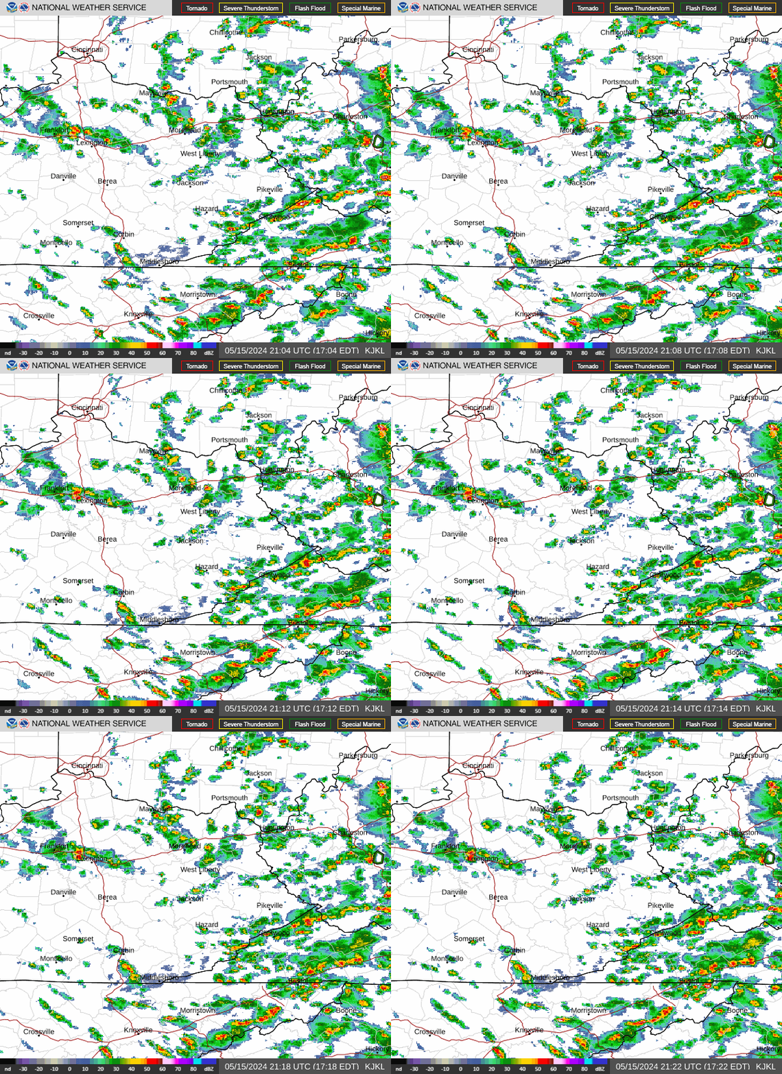
Radar loop for KJKL

Surface Analysis — Central U.S. (Central)
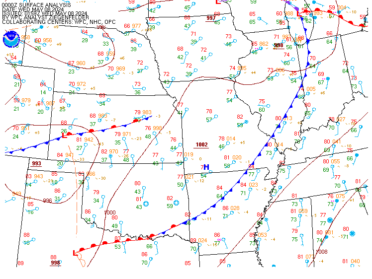
Surface map for Central U.S. (Central)

Satellite

Satellite imagery
Expanded view