Radar — KOAX
Log in to save this location.
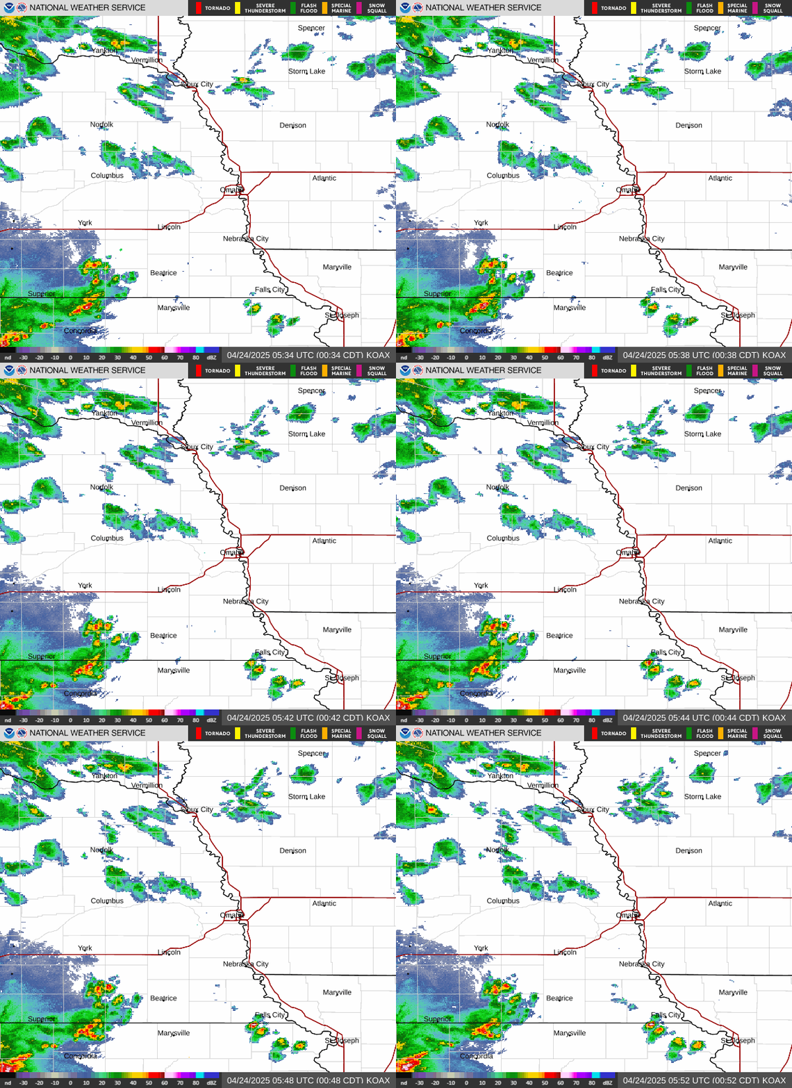
- rain overspreads the area this morning (70-90% chance). Southerly winds become gusty at 35 to 45 MPH, with the strongest gusts in northeast nebraska.
- rain tapers off a bit early monday afternoon with more storm redevelopment in the evening (40-60% chance) lasting through tuesday. Storms monday evening could be strong to severe with strong winds, heavy rain, and tornadoes, mainly southeast of a line from albion to wayne, NE.
- rain clears out wednesday, with low rain chances through the end of the week (20% or less). Temperatures remain in the 50S and 60S for most areas wednesday through saturday.
Issued at 1022 PM CST sun nov 1 2026
04Z rap objective analysis depicts an h5 longwave trof stretching across the intermountain west. At the sfc, a 1000mb sfc low has spun up across northeast colorado. As these two features inch closer toward the area, should see a gradual uptick in shower coverage. A 50-60 KT llj could also help force some parcels upward and utilize the 100-200 j/kg of mucape for some storms to form. Winds will also be on the uptick: expect south southeasterly gusts of 35 to 45 MPH with the strongest gusts in northeast nebraska. The gusty winds taper off closer to midnight.
This afternoon, the sfc low is progged to lift into northeast south dakota, taking with it the dreary shower and storm activity. Within the warm sector, we'll see highs reach the low to mid 70S. Models suggest a plume of 800-1,500 j/kg of CAPE entering areas of eastern and southeastern nebraska within that warm sector too. Combined with 0-6 km bulk SHEAR of 40 to 50 KTS, severe convection still appears plausible. Forecast soundings continue to indicate low lcls, while hodographs still show good turning within the lowest 3 km, suggesting a tornado threat in addition to strong wind gusts, heavy rain, and some small hail. Cams suggest convection firing off sometime after 21/22Z across the gid cwa, then entering southeast nebraska. Storms will quickly grow upscale into a line given the 0-6 km bulk SHEAR vector points largely parallel to the easterly advancing sfc cold front.
There are still some discrepancies though that will impact the severe potential of storms this afternoon and evening. Cloud cover looks to remain over a vast majority of the area, which will likely limit how much we can destabilize. Mid level lapse rates remain rather poor at around 6 deg c/km which could limit some of the hail threat. Regardless, those who have outdoor plans this evening will want to pay attention to the forecast. The SPC maintains the marginal (level 1 of 5) risk of severe storms confined to areas southeast of a line from albion to wayne, NE.
The front will be slow to depart the area, stalling some on early tuesday morning along with the storm activity, before finally exiting the forecast area late tuesday morning. Some areas behind the front may see a brief break in rain, but more showers and storms overspread the forecast area as the deformation zone of the sfc low wraps around (60-80% chance). Strong cold advection behind the h8 low should help push some of the 35-40 KT llj winds toward the sfc too, resulting in gusty northwesterly sfc winds for most of eastern nebraska. Highs reach the upper 40S to low 50S in northeast nebraska, while mid 50S to low 60S are progged for the rest of the area.
Lingering showers finally exit on wednesday as the h5 stacked low retrogrades a bit to the west. Expect a cool day with most areas having highs in the 50S to near 60f. Areas in northeast nebraska remain cooler in the upper 40S. Thursday could still see some influence from the disturbance with some models suggesting some light showers affecting our far northeast areas, but chances remain less than 20%. An h5 shortwave will eject from the nv/ut region toward the central plains that day too, but model guidance keeps the feature and any precip activity farther south into kansas.
Sfc high pressure moves in for friday with dry weather expected and highs in the 50S and 60S. By saturday and sunday, models are suggestive of another h5 shortwave ejecting from southwest canada toward the northern plains. Significant model spread is seen though, so confidence and timing on any precip chances for any specific areas remains low at this time.
Issued at 1135 PM CST sun nov 1 2026
A lot of moving parts in the forecast ahead. Winds will be increasing overnight out of the southeast becoming more southerly by mid-morning. A period of llws is likely as winds around 1800ft strengthen to near 50KT while surface winds are ramping up more slowly. Once we see surface sustained winds reach 20KT, llws should be diminishing. Cigs have mostly fallen to around 1300ft across the area and should fall to mostly 800ft overnight as bands of showers move across the area. Expect reductions in visibility with heavier showers. Cigs will be lifting to around 1600ft late monday morning at kofk and klnk, lifting last at koma toward 20Z. Cigs will become broken, possibly improving to VFR between 20-02Z as we get a break in the showers/storms. This will set US up for the next line of storms along the cold front, potentially strong to severe, moving into klnk around 02Z. These may not hold together to make it in to koma, though i expect we will see storms at koma toward 04-06Z at some point. Winds will be shifting to north- northwesterly behind the front. Kofk should miss most of the evening showers/storms to the southeast, seeing the front move through earlier around 23Z.