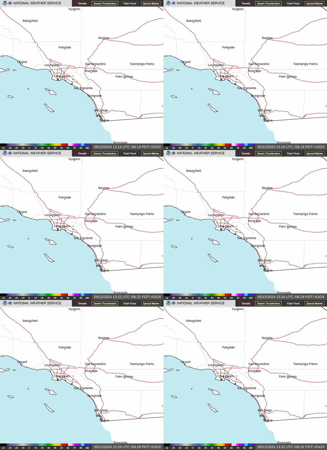
Radar — KSOX
Surface Analysis — Western U.S. (South)
Satellite

Log in to save this location.
Nearest monitored road: South Main Street (Primary)
31/737 PM.
Numerous showers will prevail tonight into sunday morning. Some showers may be heavy at times. Warmer and drier conditions can be expected next week.
31/2337Z.
At 23Z at klax, there was no inversion or marine layer.
Overall, moderate confidence in 00Z taf package. -ra with MVFR-vr ceilings and visibility expected. Isolated and brief IFR conditions possible tonight, especially from ksba through klgb. Improvement likely 12-18Z. Wind gusts of 20-30 knots likely at most coastal sites starting around 21Z.
Klax...moderate confidence in taf. -ra with MVFR ceilings will likely become more common by 06Z, with possible brief IFR ra under any heavier cells. Improvement likely by 01/15-18Z. 30% chance of east wind component developing and reaching 8 KTS from 01/10-16Z. West winds 20-30 knots likely starting around 21Z sunday.
Kbur...moderate confidence in taf. -ra with MVFR ceilings will likely become more common by 06Z, with occasional IFR ra under any heavier cells. Improvement likely by 15-18Z.
31/707 PM.
Moderate confidence in winds and seas staying well below small craft advisory (sca) through this evening, except for a low chance of brief gusty downdraft winds with any heavier showers. There is a very low chance of a waterspout forming in a stronger cell.
High confidence in post-frontal sca-level W-NW winds and choppy seas forming later tonight from the central coast to san nicolas island, then spreading to most coastal waters on sunday, including the entire santa barbara channel and the santa monica bay. The winds turn to the NE on monday and will likely stay below sca- levels. There is a chance for another round of post-frontal winds on tuesday and wednesday, but likely a step below in strength compared to sunday.