Radar — KJGX
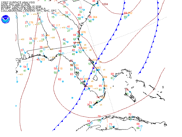
Surface Analysis — Eastern U.S. (South)
Satellite

Log in to save this location.
Nearest monitored road: Spring Street (Primary)
- unseasonably warm conditions will continue through the weekend.
- an upper level low over the eastern gulf will increase moisture across the area resulting in a return of showers and scattered thunderstorms by friday afternoon through this weekend.
- marginal risk of isolated strong to severe thunderstorms tomorrow afternoon over north and central georgia with strong gusty winds being the primary threat.
(this afternoon through friday) issued at 214 PM EDT thu sep 17 2026
North and central georgia will continue to experience hot and dry conditions associated with an unseasonable upper level ridge centered over the arklatex region through thursday night. Outside of a few isolated showers or thunderstorms over our most northeastern counties, most locations will remain precipitation free today. As this ridge shifts to the west, the bulk of drier air aloft will also retreat and allow for lee-side troughing along the appalachians. This will provide enough instability to aid in the development of some diurnal shower and thunderstorm activity on friday, propagating out of the northeast from the carolinas into our area by the afternoon. Some of these storms could be strong to isolated severe with damaging wind gusts the primarily threat, as they interact with residual mid-level drier air and available CAPE, particularly over the northeastern portions of our cwa. As such, the SPC has placed our northern and eastern counties under a marginal risk for severe weather, which aligns with ml medium range products indicating a similar risk. Otherwise, storm coverage is not expected to be widespread on friday.
High temperatures will continue to be unseasonably warm, running 5- 10f above normal across the area today and slightly higher for friday. Temperatures will range from the upper 80S to low 90S today and increase a couple of degrees areawide on friday. Surface winds will favor the east to northeast around 5-10MPH with a few gusts up to 20 MPH, particularly over southern zones through the day before becoming light and variable overnight. As the effects of the 'wedge' break down, winds will become more variable on friday.
(saturday morning through next wednesday) issued at 214 PM EDT thu sep 17 2026
The ridge is finally expected to break down sunday into monday as a front approaches. Isolated thunderstorms will be possible on sunday afternoon, becoming more widespread on monday but total rainfall is expected to be less than an inch for much of the cwa through the forecast period.
The front will bring afternoon thunderstorms back into the forecast to start off next week. This will help to moderate temps down to the upper 80S and low 90S. There are some signs that temps will drop into the low 80S towards the end of next week as more dry air clears out afternoon convection chances.
(18Z tafs) issued at 125 PM EDT thu sep 17 2026
High pressure conditions will support prevailing VFR conditions through the period. Patchy MVFR-IFR conditions are possible over the northeast georgia mountains after 07Z. Surface winds will favor the east to southeast around 4-8KTS with occasional gusts up to 18KTS over southern zones and will become light and variable after sunset. An isolated shower or thunderstorm is possible over the far northeast counties this afternoon, otherwise precipitation chances are limited through the period.
//atl confidence...18Z update... High confidence on all elements.
82
Athens 69 96 70 92 / 0 20 10 50 atlanta 72 96 73 93 / 0 30 10 30 blairsville 66 89 65 86 / 0 30 10 60 cartersville 70 97 71 95 / 0 20 10 30 columbus 69 96 72 95 / 0 0 10 40 gainesville 71 95 71 91 / 0 30 10 60 macon 66 95 70 94 / 0 10 10 40 rome 70 97 70 96 / 0 10 0 20 peachtree city 68 95 70 94 / 0 20 10 30 vidalia 67 93 71 93 / 0 0 10 20