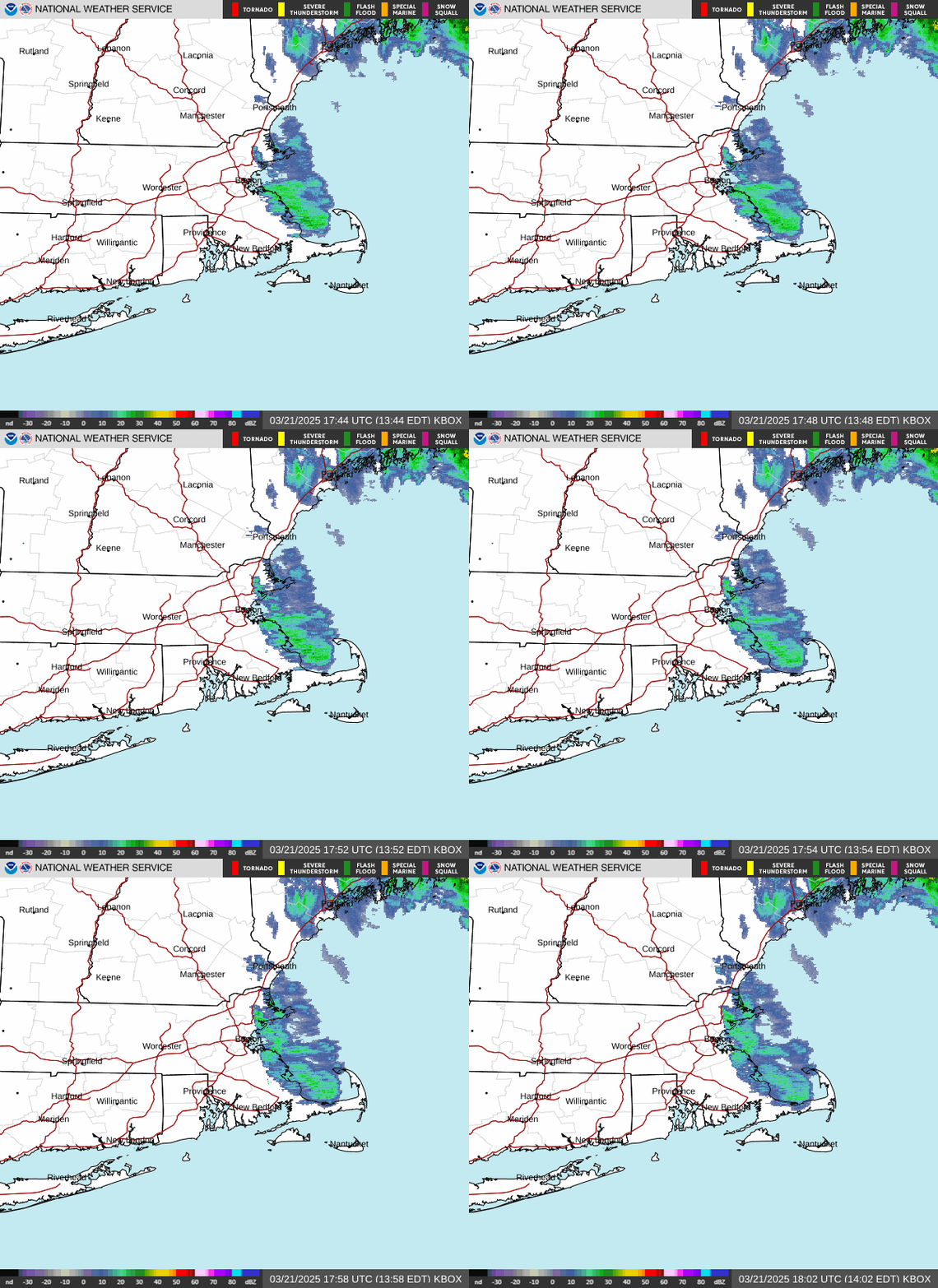
Radar — KBOX
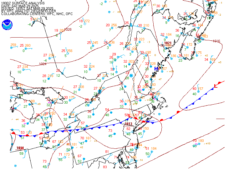
Surface Analysis — Eastern U.S. (North)
Satellite

Log in to save this location.
Nearest monitored road: [Near Beech Street] (Primary)
No significant changes with this forecast update.
1. Temperatures will average above normal through the middle of the week with mostly dry weather. Precipitation chances increase towards the end of the week.
Key message 1 description... High pressure near overhead will allow for cold morning this morning with temperatures in the mid 20S to low teens. Temperatures will rebound into the 50S today under sunny skies as high pressure settles south of the area. Rising heights and modest warm air advection will continue the warming trend into monday when much of the area will see highs in the 60S and southern locations pushing 70f.
A cold front over SE canada will attempt to push southward into the area tuesday that will bring more in the way of clouds and low chances for showers, mainly across the north. Highs will likely drop a few degrees from monday's readings, but will remain mild in the 50S and 60S. This front will likely lift north of the area wednesday leading to mostly dry conditions and highs creeping upwards into the 60S. Troughing over the central US will migrate east through the second half of the week while models suggest the trough will weaken as it does so. Nevertheless, this trough will advect moisture into the region with pops increasing thursday into friday. While a multi model consensus suggest the northeast will see some precipitation these days and going into the weekend, confidence is low in the evolution of any low pressure systems or fronts that will drive the precipitation. The pattern looks to remain unsettled going into early next week.
Through sunday: VFR expected with light and variable winds.
Outlook... Sunday night-monday night: mainly VFR conditions with upslope showers around the mountains.
Tuesday-tuesday night: MVFR ceilings possible, especially in the mountains. More widespread showers possible.
Wednesday-thursday: VFR conditions expected.
Winds and seas remain below sca thresholds through the middle of the week. Flow will generally be SW today through monday night with high pressure centered south of the waters. Winds turn more southerly wednesday into thursday as high pressure moves east and an area of low pressure moves into the great lakes region. Sca conditions may become possible late in the week as low pressure moves east of the great lakes.