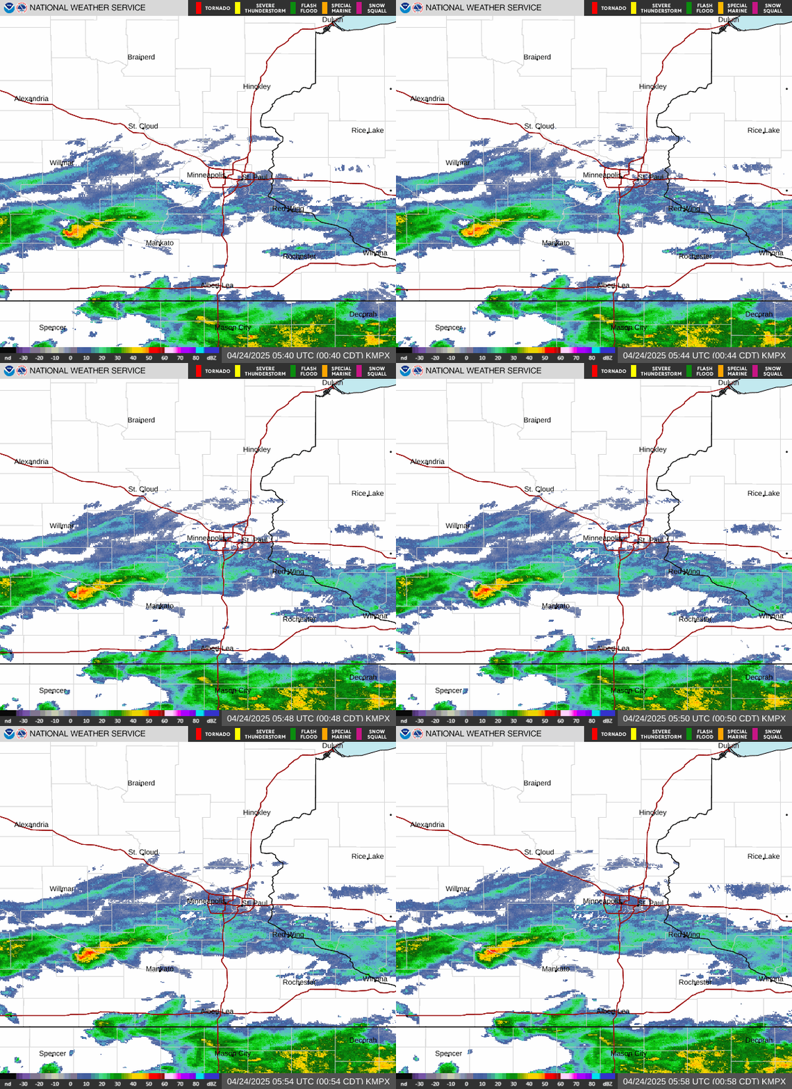
Radar — KMPX
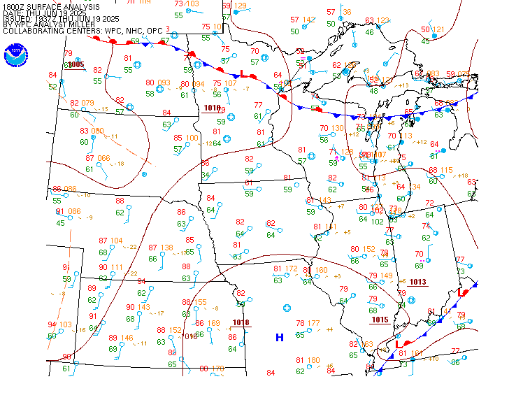
Surface Analysis — Central U.S. (North)
Satellite

Log in to save this location.
- scattered showers & a few thunderstorms tonight. Patchy fog overnight.
- widespread heavy rain is expected friday into early saturday, with amounts in excess of 3-4" likely from the southern twin cities metro south towards the minnesota/iowa border.
- flooding is possible where repeated rounds of heavy rain occur, with the greatest concern friday night into early saturday morning.
Issued at 349 PM CDT wed sep 16 2026
Scattered showers & thunderstorms develop across western minnesota this evening & spread eastwards through the overnight hours as a weak shortwave moves across the region coupled with an increasing nocturnal low-level jet. Rainfall amounts should generally stay light, with most locations receiving around 0.1-0.25 before showers move east thursday morning. Some low clouds & patchy fog could linger into thursday morning, but otherwise a quiet & seasonably warm day is expected with highs in the low to mid 70S. Our attention then quickly turns to a much stronger system moving out of the central plains thursday night into friday.
Friday through early saturday continues to be the main weather concern over the next seven days. A strengthening low- level jet will transport an impressive amount of moisture northwards with PWAT values approaching 2". These values are near the top of climatology for mid-september, priming the atmosphere for showers & thunderstorms capable of very efficient rainfall rates. Atypical of these summer-like precipitable water values is the strong upper level forcing, as a shortwave passing directly over the region generates strong low & mid- level frontogenesis north of a quasi-stationary surface boundary across southern minnesota & wisconsin. Numerous showers & thunderstorms are expected to fire along & north of this boundary through the day friday into early saturday morning, with heavy rain & potential flooding where multiple rounds of thunderstorms set up over the same areas.
This forcing will begin to peak friday morning, when the first round of heavy rain looks to spread into southern & central minnesota. The heaviest rain looks to fall across southern minnesota, but available high-resolution guidances highlights the potential for a secondary band of frontogenically-forced rainfall falling farther north across central minnesota & wisconsin. We will also have to monitor the storms across southern minnesota for potential severe weather friday morning as high- resolution guidance is depicting a gravity-wave induced damaging wind signature with the thunderstorms. There may be somewhat of a break or decrease in coverage during the afternoon before another, likely heavier round develops friday evening & persists overnight into early saturday morning. This second round is when the best overlap of moisture transport, elevated instability, & frontogenetic forcing should occur, making it the period of greatest concern for training thunderstorms & high rainfall rates. Severe weather currently looks like a secondary concern given limited surface-based instability, although embedded thunderstorms will enhance rainfall rates.
Where exactly the heaviest rain sets up remains the biggest forecast question. Guidance continues to span solutions from central minnesota southwards to the iowa border, with the broader suite of legacy deterministic models generally a little farther north, while deterministic & ai ensemble guidance continues to favor a more southern axis. For now, we favor this farther-south camp, placing the greatest risk for amounts in excess of 3-4" from roughly the far-southern twin cities metro southwards towards the minnesota/iowa border, then east through southeast minnesota into western wisconsin. Localized amounts of 6-8" are certainly possible within this heaviest band of rainfall, with much of this rainfall potentially falling in a short amount of time overnight friday into saturday. Amounts are expected to fall-off rather sharply north of this swath of the heaviest rain, although amounts around 1-2" are still likely into central minnesota & west-central wisconsin. Unfortunately for our most- drought stricken areas, little in the rainfall is expected across north-central minnesota & northwest wisconsin.
Flooding will become a concern wherever the swath of heaviest rain occurs. Repeated rounds of thunderstorms could produce flash flooding in urban & poor- drainage areas along with rises on smaller rivers & streams, especially friday night into early saturday morning when the heaviest rain currently appears most likely. Some factors that may help mitigate the flooding threat (despite the heavy rain amounts) are that antecedent conditions are still quite dry, & the lull between the expected two round of heavy rain may help prevent maximum runoff of the rainfall. Still - now is the time time to have a flood plan in place if you live in a low-lying or water-senstive area where the heaviest rain is expected to occur.
Rain should end from west to east saturday morning as the system pulls away, with much of saturday afternoon looking drier & cooler. Another upper low approaches sunday into early next week, bringing additional chances for showers sunday through monday. These later rounds dont look nearly as heavy at this point, but any additional rain could prolong river rises in areas affected by the friday- saturday event. Temperatures settle back into the 60S to around 70 early next week.
Issued at 103 PM CDT wed sep 16 2026
Scattered high clouds will begin to be replaced by broken mid-level clouds later this afternoon through the evening. A disturbance will be moving in and producing chances for scattered -shra and have maintained prob30 groups, but adjusted timing some based off of latest hi-res guidance. Once the rain chances move east, MVFR cigs will move in tonight as well as a potential for IFR ground fog to develop for a few hours around sunrise tomorrow morning. Se'ly winds this afternoon become light and variable tonight then shifting E to ne'ly tomorrow morning.
Kmsp...not much change since the previous taf except for nudged back timing for the chance of rain showers tonight mainly between 03-07Z timeframe. Flight category will transition to MVFR around 8Z as low- level cigs move in from the west. There is a low-end potential for ground fog to develop but anticipate it to be confined to the river valley just south of the 30S. By about 15/16Z timeframe is when cigs should begin to scatter out back into low-VFR heights. SE winds remain at or below 10KTS for the rest of this afternoon before becoming light and variable, the becoming northeasterly tomorrow morning.
/outlook for kmsp/ thu...VFR. Chc MVFR/-shra late. Wind NE 5KTS. Fri...MVFR. Chc IFR W/-tsra. Wind SE 10-15g30KTS. Sat...VFR. Wind NE 5-10g20KTS.