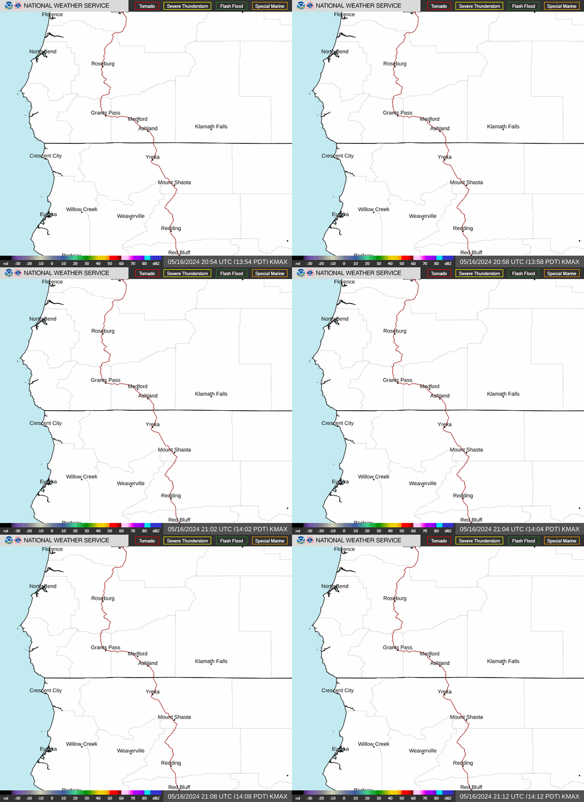
Radar — KMAX
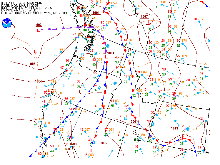
Surface Analysis — Western U.S. (North)
Satellite

Log in to save this location.
* showers and thunderstorms are possible today and tomorrow afternoon/evening with the main threats being lightning and gusty erratic outflow winds (upwards of 40-45 MPH)
* temperatures warm through the weekend with above normal temperatures expected
* signal for dry weather and seasonable temperatures continues for next week
Satellite imagery shows a very distinctive area of cyclonic rotation over the forecast area with the center of the low currently over northern california. Once we reach peak heating, temperatures will be very close to--if not reaching--convective temperatures. We will also have mucape values around 400-800 j/kg with some outputs around 1000 j/kg. These are very high instability values for this area. These parameters combined with steep lapse rates 8-9 c/km will likely lead to thunderstorm development this afternoon and continuing through the evening hours. Given the position and orientation of the cutoff low, these storms will likely start along/near a line from western siskiyou county northeast to crater lake in addition to some initiation over northern california. In fact, already seeing cumulus developing across the area as of 2PM. These will very likely travel northwest initially and then more westerly as the afternoon and evening hours progress. Hodographs and the mean flow suggest these storms may only move around 25 MPH but some instances we could see these moving around 35 MPH. Pwats are around 0.50"-0.75" in a lot of cases/locations, but we are seeing some areas with outputs closer to around 0.80"-1.00". Given all that, a few of these storms could produce decent rainfall amounts in a short amount of time. For example, it would not be out of the question to see isolated amounts of 0.25"-0.50" in an 1-1.5 hrs. Additionally, forecast sounds are depicting an inverted-v profile with dcape values upwards around 600 j/kg. With evaporative cooling process in these dry low levels, we could see some isolated gusty outflow winds around 40-45MPH. It gets a little tricky with terrain, and if a storm happens to align with the terrain in a favorable fashion with these outflows, we could see localized higher gusty erratic outflows, and this would be especially true for westside areas as the storms move over the cascades. Of course, the other problems is the storms may not maintain going over the cascades. All that said, the main take away is if any storms make it over to the westside, we could see a few localized strong outflow winds in addition to lightning. Westside areas mean areas west of the cascades in northern california and south/southwest oregon.
The next big question is how much will thunderstorms this afternoon and evening affect chances for tomorrow. We wont see much of an airmass change with the low meandering overhead tomorrow, so models may not be handling thursday convection very well. However, there is enough evidence to suggest we will see continued activity tomorrow, but this will likely be more for areas along/near the cascades and east versus today's more area- wide chances. Additionally, cooler temperatures on the eastside could limit destabilization which may limit the lightning potential. Additionally, mucape values are far less tomorrow, especially through late afternoon/early evening which further leads to less lightning potential. There is also virtually no dcape so the main threat would be lightning for thursday, but even that is a low threat at this time. If lightning does occur, these would be very low top thunderstorms.
High pressure then moves in over the area behind the low as it exits on friday. This will result in a ridge aloft through the weekend and above normal temperatures. Some westside areas could potentially be in the lower 90S for a high on both saturday and sunday. A low does form late in the weekend as the ridge slides east, but this low is currently progged to remain south of the forecast area which would put mostly zonal flow aloft over the area. Current signal does place the forecast area in a dry pattern with seasonable temperatures through much of next week.
-guerrero
Updated 1200 PM PDT wednesday, september 16, 2026...gusty north winds and steep seas will continue into early thursday morning, but conditions will steadily improve beginning late tonight. Conditions ease below advisory criteria by thursday afternoon and likely persist through friday night. North winds increase again saturday and likely persist into next week. Steep, hazardous are possible again by saturday night, especially south of CAPE blanco.
/br-y
None.
Pacific coastal waters...small craft advisory until 11 AM PDT thursday for pzz350-356-370-376.