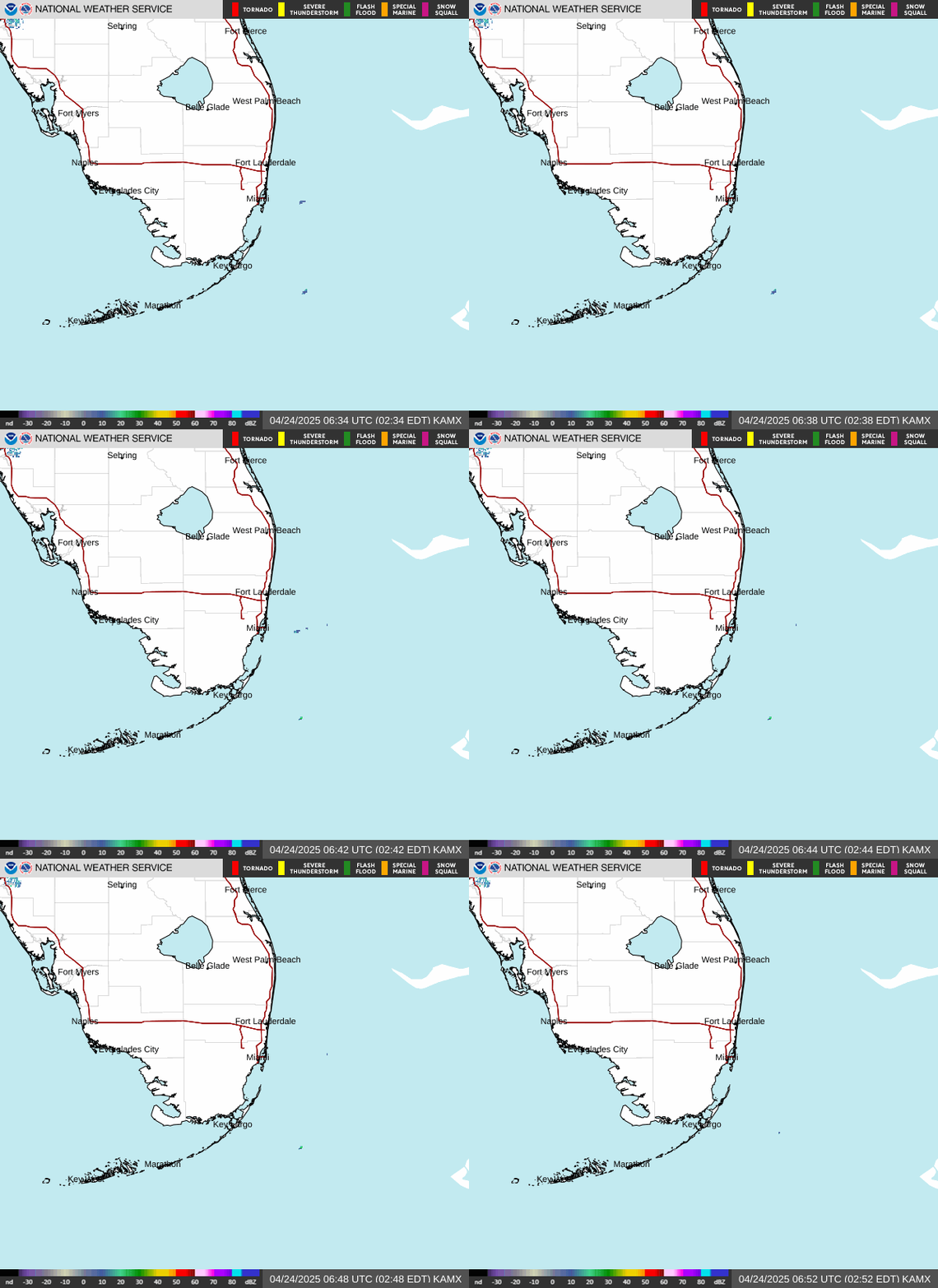
Radar — KAMX
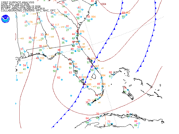
Surface Analysis — Eastern U.S. (South)
Satellite

Log in to save this location.
Nearest monitored road: West Flagler Street (Secondary)
Updated at 309 PM EDT wed sep 16 2026
- scattered to numerous showers and thunderstorms will continue to develop each day through the rest of the week as a mid to upper level disturbance approaches and moves across the florida peninsula.
- heavy downpours from the stronger thunderstorms could lead to localized flooding over the urban and low lying areas.
- hazardous marine and beach conditions will continue into tonight as a mid to upper level disturbance approaches the area.
Issued at 309 PM EDT wed sep 16 2026
No changes were made to the forecast philosophy as everything looks on track. Northeasterly winds will continue to increase heading into the evening hours as the pressure gradient across south florida tightens. Looking at the 18Z kmfl sounding, plenty of lower level moisture remains in place to support scattered to numerous showers and thunderstorms heading into the evening hours. There is, however, a notable layer of drier air in the mid to upper levels of the atmospheric column. This in combination with rather poor lower to mid level lapse rates will keep the potential for strong storm development very limited during the rest of the afternoon and into the evening hours. The main concern with thunderstorms this afternoon into this evening will be the potential for heavy downpours. While the storms will be moving rather quickly due to the breezy northeasterly wind flow, some localized flooding cannot be entirely ruled out where one of the stronger storms with higher rainfall rates sets up. Any flooding potential should be limited to these areas. Additional shower and thunderstorm activity will remain possible during the overnight hours especially over the eastern half of the region as a mid level low continues to approach the florida peninsula from the atlantic. Low temperatures tonight will generally range from the lower 70S across the lake okeechobee region to the upper 70S across the east coast metro areas.
(today through thursday) issued at 334 AM EDT wed sep 16 2026
The rex block ridge continues to remain quasi-stationary across most of the central and eastern conus heading into today and continuing into thursday. In the western atlantic, the strengthening upper- level low will advect southwestwards under this ridge, which is still expected to pull the low directly towards the florida peninsula. The arrival of the low into south florida has now been slowed a little further, with it now expected to advect across the florida peninsula later on thursday into thursday night.
Latest href and other ensembles now suggest upwards of a 90% chance that h500 heights will reach 600dam centered in tennessee as a result of the amplifying ridge over the eastern u.S., which would be above the 90th percentile for 500mb heights. As a result, surface high pressure across the northeast will be well above average (1028- 1030 MSLP) as well and increase the pressure gradient force. This will support breezier conditions across a large surface area for today. The breezy to gusty winds are expected to be experienced into tomorrow as well ahead of the upper level low arriving. At that point, winds will begin to relax as the surface high weakens. With south florida being on the southeast side of this circulation, we can expect these stronger winds to be out of a NE/ENE direction. Generally expecting winds at 10-15 MPH with gusts at 20-25 MPH. There remains no evidence that a surface low will form with the encroachment of the upper level low either, so AM not expecting these surface winds to be overly strong, but the surface winds will still be above average.
Other than winds, the other item to monitor is the potential for increased rain chances and potentially even severe weather. In general, forcing for ascent will increase via positive vorticity advection occurring towards south florida with the approaching upper level low, which will provide energy for the production of widespread showers and thunderstorms. Given the increase in northeasterly flow, we should see the brunt of activity focusing in SW florida, but speed convergence and early diurnal processes is expected to result in some scattered showers and thunderstorms in SE florida as well for today and tomorrow. Under NE flow, the highest chances on the east coast will be around palm beach county. As for severe chances, this does not appear likely in the short term because of a lack of SHEAR and the surface high pressure providing low level subsidence across the area. Lapse rates are also on the weaker side with a warm atmospheric column. There could be a risk for this once the upper low actually arrives, but that will occur outside this short term forecast period. Therefore, the main thing to watch for is going to be the risk for flooding due to excessive rainfall as well as frequent lightning and sub-severe wind gusts with storms (40-50MPH).
Even with an increasing amount of shower and thunderstorm coverage, the overall risk for excessive rainfall flooding is still not very high. Href lpmm generally highlights a high-end scenario around 4-5" in a short time frame (~2 hours) with 90th percentile QPF (a reasonable high-end) of 2-4" total over the next few days combined. Additionally, severe parameters (lapse rates, CAPE/dcape, SHEAR, etc.) are relatively benign at least before the low arrives, although an isolated strong core can never be ruled out since max convergence of low level boundaries can spark a more robust updraft or two. Nevertheless, as mentioned previously this has a very low chance of occurrence, so not expecting much of a severe threat here through the period.
High temperatures across the region will generally reach the low 90S still today and tomorrow, with some areas seeing max temps in the upper 80S. Overnight lows will range from the low to mid 70S across SW florida to the upper 70S and low 80S for the east coast metro areas.
(thursday night through tuesday) issued at 334 AM EDT wed sep 16 2026
There is very good agreement amongst both ensemble and deterministic guidance that the upper level low approaching the region will become cut-off as it slowly arrives into florida thursday night. This setup will create much more unsettled weather across south florida for friday and this weekend, with pops climbing above 80% each day from friday through the weekend.
Continued deep moisture (with pwats above 2 inches) and increased forcing aloft from the upper level low should allow for scattered to numerous storms to develop across the region. While there is still some spread in the guidance, most ensemble QPF clusters are only showing about 1.5 to 2.5 inches of rainfall through saturday evening period. These amounts shouldn't result in anything more than a few isolated urban flooding impacts for low lying and poor drainage locations. With the upper low moving overhead for friday and into the weekend, increased forcing may allow for a few training storms to hit the same area multiple times. As the low crosses into the gulf over the weekend, there is also an indication that there could be some coastal convergence and pinned coastal storms. While not quite perpendicular to each other, winds at 500 and 700 mbs will be out of the SW, while winds at the surface will be out of the E to NE. This may lead to slow moving storms and enhanced moisture convergence along the paradise coast, which also happens to be where most ensemble QPF clusters show the highest rainfall amounts to be (although mostly offshore).
While more uncertain, there will also be an isolated threat of severe weather as the disturbance crosses the region. Some models are showing that 500 mb temperatures may drop into the -8 to -9 c range, within the 25th percentile for this time of year. This could result in some steeper lapse rates, allowing for some stronger cores to develop and for a low chance of hail and strong downburst winds. However, increased cloud cover may inhibit the amount of diurnal heating and instability that accumulates throughout the day, keeping the threat of strong storms more conditional and low confidence.
As the upper level low shifts offshore into the gulf late this weekend and into early next week, low level flow will shift more southerly. This should allow for fairly uniform rain chances across soflo (~80-85%) as deep moisture will remain present across the region. High temperatures will remain in the upper 80S to low 90S across soflo, with lows in the 70S. Once the upper low ejects out to the west on sunday, we should return to our more typical sea-breeze dominated wind regime, with scattered afternoon storms.
(18Z tafs) issued at 112 PM EDT wed sep 16 2026
Easterly flow continues this afternoon between 10-15 KTS. Passing tsra activity could result in the need for short- fuse tempos although coverage doesn't appear to be high enough to warrant widespread restrictions. Coverage will diminish overnight, but high- res models still suggest sporadic shra across the region overnight into the early morning hours.
Issued at 1236 PM EDT wed sep 16 2026
A moderate to fresh east northeasterly breeze will continue across most of the local waters through thursday. These winds in combination with building seas will create hazardous marine conditions across most of the local waters through at least tonight. Seas across the atlantic waters will build and range between 5 and 8 feet tonight while the gulf waters will build and range between 3 to 5 feet. The highest wave heights in the gulf waters will remain well offshore. Scattered to numerous showers and thunderstorms will develop each day through the rest of the week across all local waters.
Issued at 334 AM EDT wed sep 16 2026
The risk for rip currents will rise beginning today and into the end of the week as increased onshore winds and swell arrive due to a disturbance approaching from the western atlantic. This risk should decrease heading into the weekend.
Miami 79 89 77 89 / 60 70 40 80 west kendall 77 89 76 89 / 50 60 30 80 opa-locka 78 89 77 89 / 60 70 40 80 homestead 78 90 77 89 / 60 70 40 80 fort lauderdale 79 88 78 88 / 70 70 40 80 N ft lauderdale 79 89 78 89 / 70 70 40 80 pembroke pines 78 89 78 89 / 60 70 40 80 west palm beach 78 90 77 89 / 70 60 60 80 boca raton 79 88 77 88 / 70 70 50 80 naples 75 91 74 91 / 20 60 20 80