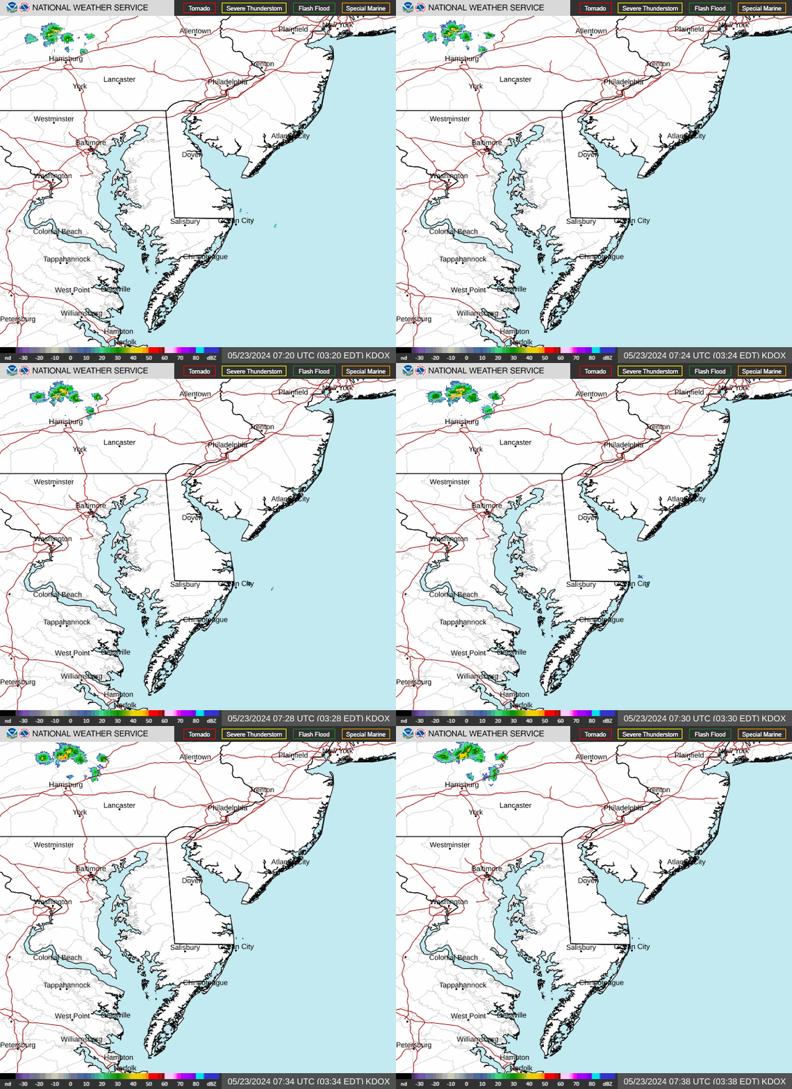
Radar — KDOX
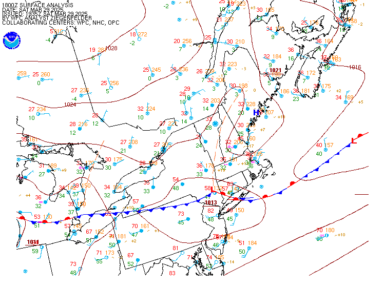
Surface Analysis — Eastern U.S. (North)
Satellite

Log in to save this location.
Nearest monitored road: North Walnut Street (Primary)
Updated aviation section for the 06Z tafs.
1. Some areas of frost tonight. Otherwise, generally tranquil weather is expected to prevail through the middle portion of next week.
2. Rain is expected to return late next week.
Key message 1...some areas of frost tonight. Otherwise, generally tranquil weather is expected to prevail through the middle portion of next week.
High pressure will remain in place within the vicinity of our area through the middle of next week with continuing mild and dry conditions.
Temperatures are cooler today compared to yesterday and with the high building in right over our area for tonight, this will lead to very good radiational cooling conditions. Temperatures should fall quickly during the evening into the upper 30S and low 40S as winds decouple with the high pressure center nearby, then continue slowly falling overnight. A frost advisory remains in effect for portions of SE pa (not including philly and delco) into southern nj where the growing season remains active with overnight lows in these areas generally in the mid 30S. North of these areas generally expect lows getting down into the low 30S while delmarva and the urban corridor from around wilmington through philly will generally see lows in the upper 30S to around 40.
For sunday, we'll have a bit more in the way of some high cloudiness around but the winds will remain light and temperatures will moderate a few degrees compared to today.
Scattered to broken high cloud cover will persist into next week despite surface high pressure. Temperatures are expected to increase back to above normal values early next week, with highs in the mid 60S to low 70S and milder overnights (no frost/freeze potential). Dry weather is expected to persist through the day wednesday.
Key message 2...rain is expected to return late next week.
The stretch of dry weather is expected to come to an end late next week. It appears increasingly likely that a period or periods of rainfall will move into the area as a storm system affects the region thursday through at least friday. Early in the week, a cold front will be moving across the central part of the country. The parent low moves across the great lakes and into canada later in the week, while a secondary low develops and moves into the southern states by mid week. This low is expected to strengthen as it moves into the mid atlantic and northeast states later in the week, bringing our area a likely window to end our dry streak. Forecast details remain uncertain since this is still almost a week away but at this point the best chances for rain appear to be late day thursday into the day friday. At this time, this appears it will be a beneficial rainfall event with no significant weather hazards anticipated but it will have to be watched closely as the possibility is there for amounts to be on the heavier side depending on how much atlantic moisture is pulled into the system.
The following discussion is for kphl, kpne, kttn, kabe, krdg, kilg, kmiv, kacy and surrounding areas.
Through 12Z...VFR. North winds less than 5 KTS to calm. High confidence.
Sunday...VFR. North to northeast winds 5 KTS or less early from i-95 southeast. Winds will become light and variable to calm midday, then settle out of the southeast 5 KTS or less after 18Z along and northwest of i-95 (variable near the coast). High confidence.
Sunday night...VFR. Winds less than 5 KTS favoring a southwest direction. Winds may become calm at times. High confidence.
Outlook...
Monday through wednesday...VFR. No significant weather.
Thursday...next chance for rain arrives with the potential for restrictions.
Northerly winds around 5-10 knots for the evening and overnight tonight. Winds around 5 knots or less for sunday. Generally expect seas around 2 feet through sunday.
Outlook...
Monday through tuesday...no marine hazards expected. Fair weather.
Wednesday through thursday...winds and seas may build close to advisory levels wednesday night into thursday.