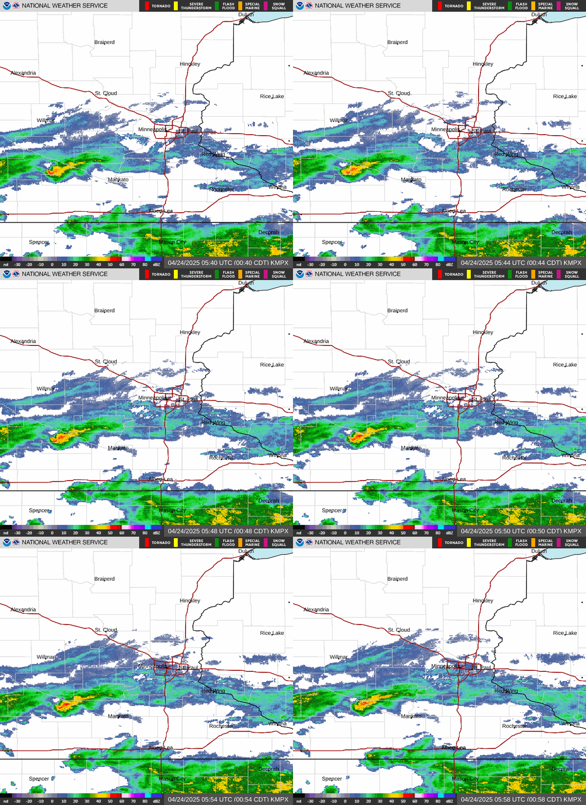
Radar — KMPX
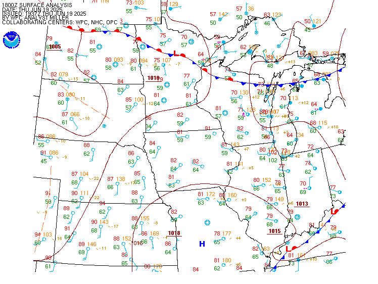
Surface Analysis — Central U.S. (North)
Satellite

Log in to save this location.
Nearest monitored road: Washington Avenue South (Primary)
- scattered rain showers taper off this afternoon. Patchy drizzle develops tonight.
- widespread soaking rain monday into tuesday. Amounts of 1-2" expected, approaching 3" across west-central minnesota
Issued at 111 PM CDT sat oct 31 2026
Scattered rain showers continue to spread northwards into central minnesota & western wisconsin this afternoon. These showers will begin to wane as the low level warm advection diminishes through the day, expect rainfall amounts of 0.1-0.25" wherever showers occur. We looks to be dry, but damp, for trick or treaters this evening with areas of drizzle then developing late tonight & through the overnight hours. Gloomy skies look to stick around through sunday with little change in the airmass expected to scatter out the clouds, however a few peeks of sunshine looks possible later in the afternoon. Temperatures will warm into the low to mid 60S despite the clouds, as southerly winds & warm advection strengthen through the day.
The main weather of note this week comes monday into tuesday when a deep trough digs over the intermountain west & spins up a surface low tracking from the central plains into the upper midwest. Legacy physical models vary somewhat on the track of the surface low, but the ai GFS & ECMWF solutions have remained consistent with the low tracking directly over our area from eastern sd into lake superior. This would place the favored location for the heaviest rain across the eastern dakotas into west-central minnesota, a solution well-supported by the ai & physical-based ECMWF ensembles. This will be a very wet system for early november with near-record precipitable, helping to generate a widespread soaking rain event for the region from monday morning through at least tuesday morning. Widespread rainfall amounts of 1-2" are expected across the entirety of minnesota & western wisconsin, with the best chances for 2-3" occurring across west-central minnesota. Most of this rain will fall within a few hours monday morning & afternoon, but we're not expecting convective rainfall rates capable of any flash flooding. Heading into tuesday, the system does slow down & linger over the upper midwest although models remain spread on how long the light rain in the wrap-around region sticks around. Ai solutions we could have lingering showers all the way into thursday, although additional rainfall amounts late tuesday into thursday will only be on the order of 0.25-0.5". Would be a great snowstorm in another november, but we'll settle for continuing to chip away at our precipitation deficit for 2026.
Temperatures will remain fairly steady in the upper 50S to low 60S through the heaviest rain monday afternoon, then we'll see several days of classic november weather arrive as a colder airmass settles over the region behind the system. Highs in the mid to upper 40S will prevail into the weekend, along with warmer lows in the upper 30S to low 40S as clouds looks to stick around the the week. Conditions look dry well into next week once we clear out the lingering showers wednesday-thursday.
Issued at 619 PM CDT sat oct 31 2026
The stratus deck and areas of fog show no signs of abating in the short term for the start of the period, with axn/rwf/stc having the best chance for significant visibility reduction even down to IFR/LIFR due to fog through the first 6-10 hours of the period. Terminals farther east will be dealing with mainly MVFR cigs with limited visibility impacts due to mist. The last of the -shra is moving out of the area with -dz possible, however more than likely ends up as a light mist that struggles to drop US below 6sm visibility for the most part. Category wise MVFR with periods of IFR is expected through 12Z, at which point the eastern sites will see cigs rising towards VFR with decks going sct for msp/rnh/eau by the end of the period.
Kmsp...we expect to remain MVFR and gradually improve throughout the period, with the only chance for IFR being the first hour or so before cigs start to rise. Guidance shows lowering clouds and cigs returning very late in the period as -shra becomes possible after the period ends, so left it out for now.
/outlook for kmsp/ mon...MVFR/IFR. Shra. Wind SE 10-15g30 KTS. Tue...MVFR. -shra likely. Wind SE bcmg NW in aftn 10-15g20 KTS. Wed...VFR. Chc shra/MVFR. Wind NW 10-15 KTS.