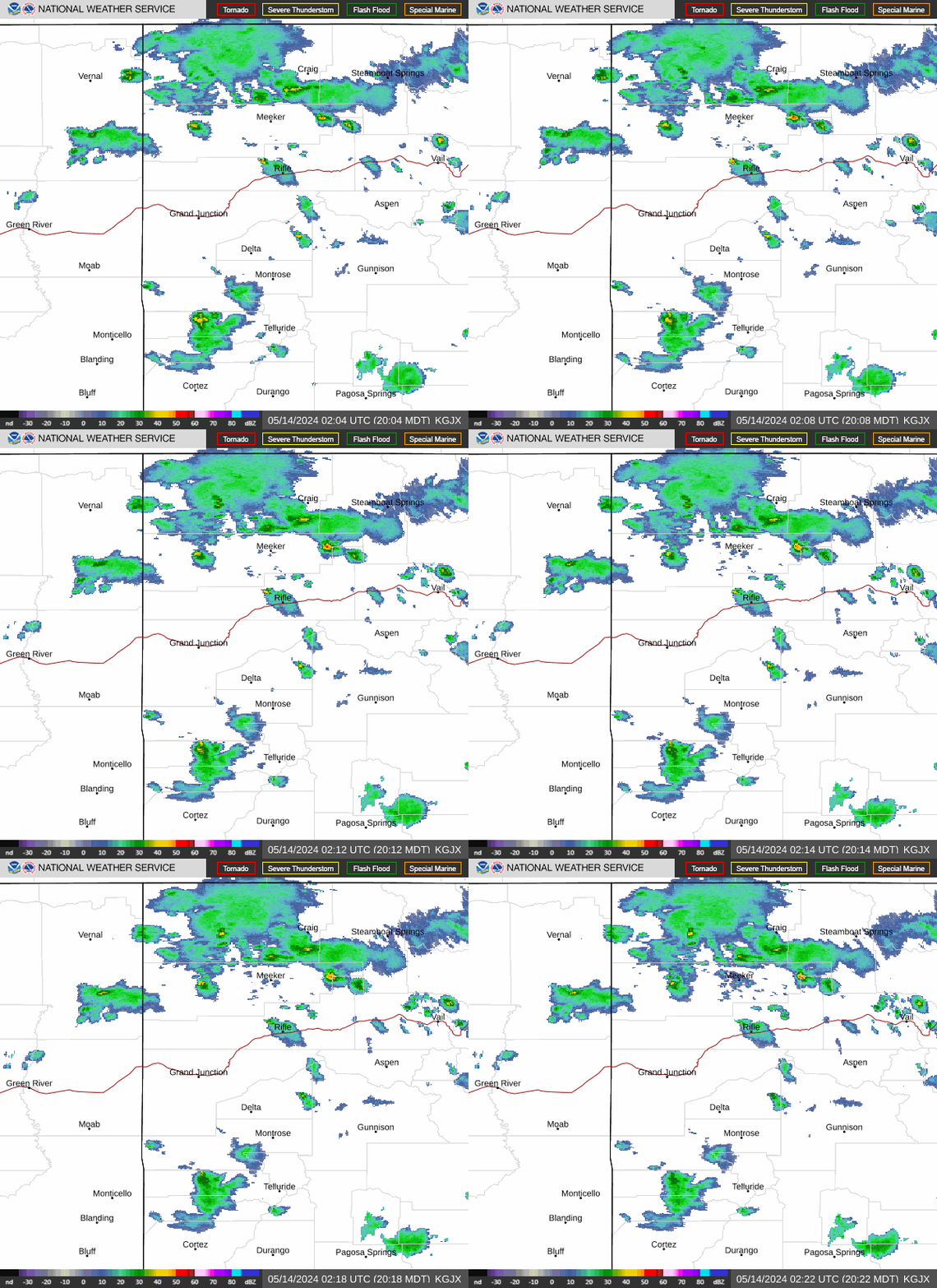
Radar — KGJX
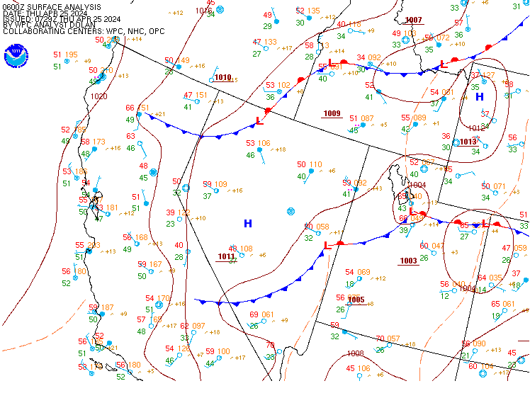
Surface Analysis — Western U.S. (Central)
Satellite

Log in to save this location.
Nearest monitored road: US-191 (Primary)
- heavy rainfall could result in flash flooding and debris flows through late friday. A few stronger storms may be capable of producing hail and damaging wind as well. - flood watches remain in effect for SE utah and SW colorado through this evening.
- coverage of showers and storms decreases on saturday with most locations dry on sunday and monday.
Issued at 1116 AM MDT thu sep 17 2026
Abundant moisture through friday:
Low pressure located to our west continues to keep US under southwest flow aloft. This flow has ushered in highly anamolous moisture, which has resulted in a large rain shield that covers almost the entire area. As the day progresses this rain will move off to the northeast and or scatter out. As of now the rainfall rates are steady and not really exceeding 0.50". The big question today is how much clearing will happen and where. Additional shower and storm development is expected though out the day, but will any of these storms be strong and able to produce heavy rainfall. Places that get sunshine this afternoon have the better chances of more robust storms. Given all the rain the past several days soils are getting saturated with not much break. This increases the potential for flash flooding and debris flows. Models continue to show that the southern san juans could get up to an additional inch of rain by tonight. Showers and storms are expected to linger into the evening with a gradual decrease in coverage overnight.
The pocket of record setting moisture will move off to our east tonight, but the plume stays in place due to the low out west. Tomorrow that low tracks over the northern great basin. It is uncertain how much forcing we will get if any, but the associated jet is expected to spread overhead. This could provide some forcing as well as SHEAR. Given the moisture another round of showers and storms is expected mainly in the afternoon and evening. Like today places that get more sunshine have the better chances for stronger storms. With the SHEAR in place a few severe storms are possible along with that the potential for heavy rainfall. Showers and storms look to linger friday night as the low pressure moves closer to the area.
Moisture decreases:
On saturday the low pressure passes to our north, so expect chances for showers and storms once again. The mositure values are supposed to decrease, which may only result in a less coverage of convection. It uncertain if there will still be a chance for heavy rain. On sunday the low lifts out over the plains causing drier air to filter in from the west. Also, subsidence may put a cap on any convection. As a result most places will be dry although lingering moisture across north central co could support a few showers there. Is it possible the models are trying to push the moisture out to quickly so could not rule our isolated showers mainly over the higher terrain. Monday looks to be quiet as well. Models are indicating another low pressure trough moving into the great basin and increasing storm coverage once again mid next week.
Issued at 1200 PM MDT thu sep 17 2026
A shower/thunderstorm convective pattern continues across the area through the next 24 hours. Most stations are seeing MVFR conditions as clouds, br, and rain lower vis/cig. The area of steady rain will continue to move eastward throughout the afternoon with improving conditions. However, taf locations may see reduced flight categories as the potential for heavier showers and thunderstorms develop this afternoon and evening. Kase,kege,kril will remain below ils breakpoints through at least 06Z. A few showers/storms remain possible overnight. Gusty outflow winds and heavy rainfall are expected at times. The mountain taf sites can expect terrain obscuration through the period.
Issued at 1050 PM MDT wed sep 16 2026
The moisture in place through tomorrow will support the potential for heavy rainfall. Soils are now significantly saturated, which will lead to a lack of absorption and increase the chances for flash flooding and debris flows through at least friday. This is especially of concern for vulnerable areas like steep terrain, burn scars and slot canyons. Stay aware of road conditions, avoid locations prone to flash flooding, and report flooding or other weather impacts to local law enforcement.