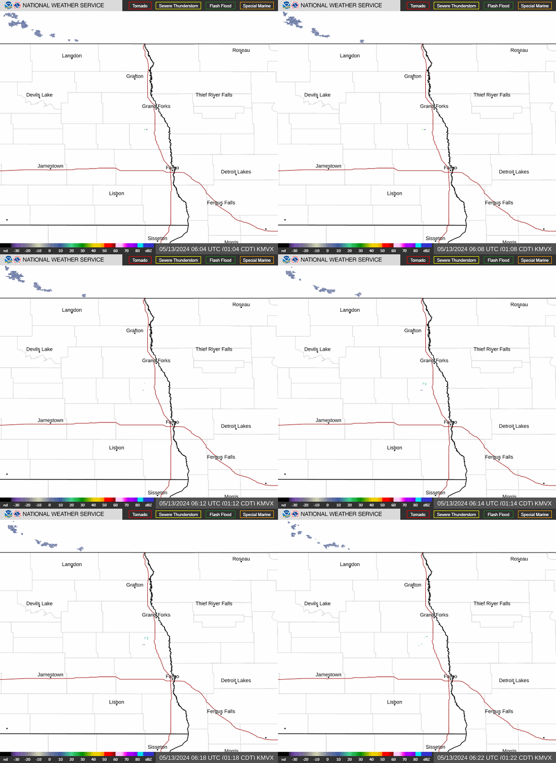
Radar — KMVX
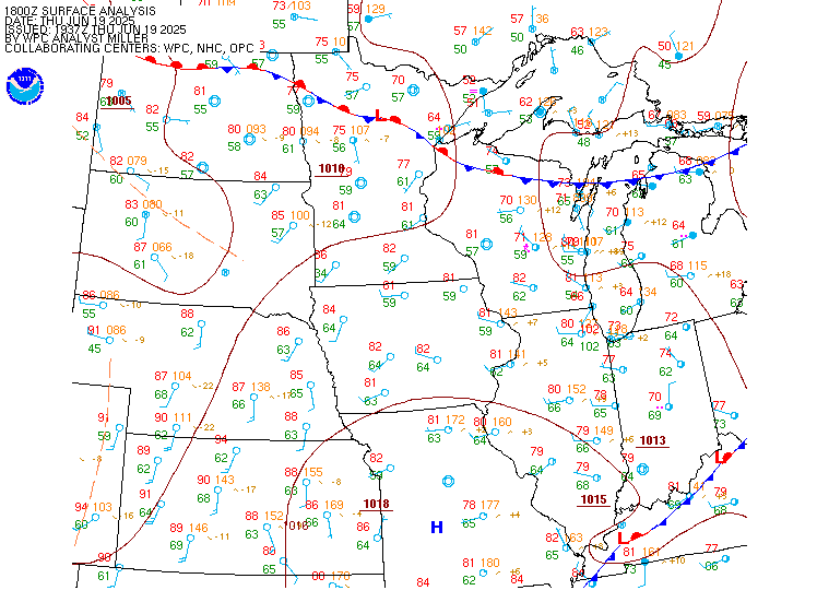
Surface Analysis — Central U.S. (North)
Satellite

Log in to save this location.
Nearest monitored road: US-10 (Primary)
- frost is forecast this morning in northwest minnesota near lake of the woods to red lakes area.
- showers and weak thunderstorms today. Additional chances for rain come friday into the weekend.
Issued at 338 PM CDT tue sep 15 2026
...synopsis...
Post-cold frontal, continental air mass continues to spread throughout our region behind yesterday's cold front/system. Breezy winds will taper tonight as surface high pressure settles into the region, centered near northwest mn by wednesday morning. This will promote calm and clear conditions, allowing frost to develop within northwest mn, in addition to the potential for fog in northwest and west-central mn. Confidence is not high in fog formation, but there is a 40% chance it develops within our area. If it does develop, fog could be dense at times.
Upper pattern mid to late week can be characterized as zonal to weak southwesterly flow aloft. This will offer opportunities for periods of rain starting wednesday, lasting into the weekend. This will also keep temperatures trended near to slightly above average.
...frost potential in northwest mn...
Center of high pressure settles into northwest mn tonight/early wed amid relatively dry continental air mass. This will radiatively cool temperatures into the mid to upper 30S, perhaps locally lower 30S if conditions remain optimal.
While mid/upper cloud cover is not anticipated to be a failure- mode for frost development, the possibility of fog in this area is. General thinking is for areas that received more than half an inch of recent rainfall (generally south of the red lakes) will promote more of a chance for fog development compared to areas north. With this in mind, confidence has grown enough in frost development in northwest mn near lake of the woods, and not including bemidji/southern beltrami county.
...rain chances ahead...
Zonal flow aloft with entrance region of an upper jet will linger over our region through wednesday, allowing a weak and progressive shortwave trough/upper ascent to migrate west to east across our area. While synoptic forcing is expected to be weak and moisture return meager, an uptick in instability is forecast to accompany this forcing/moisture. This will offer opportunity for thunderstorms of the weaker variety. Very little rainfall amounts are expected with this, despite the convective behavior.
On friday, a rather robust banded-rain event is expected with strong forcing from frontogenesis fed by rich moisture and instability. Current guidance keeps majority of this rainfall (in excess of 3 inches) south of our area out of eastern sd into southern/central mn. However, given the majority of this forcing driven by mesoscale processes, confidence in location is not great. Thus, there is potential for this banded heavy rainfall to eek into locations near the sd border into west-central mn.
Into this weekend, a more consolidated shortwave trough is progged to translate across the dakotas into minnesota west to east. This will bring widespread rainfall chances. However, confidence is low in evolution of this particular wave given its time into the future nearing the predictability horizon. At this time, there is very little evidence to suggest amounts more than 1 inch from this particular wave.
Issued at 616 AM CDT wed sep 16 2026
VFR skies this morning with winds light and leading to patchy fog formation in area low spots but not currently impacts any terminal sites. Winds increasing from the south today to around 10KTS. Biggest aviation hazard will be rain activity from 18Z to 02Z with each site seeing about a 4-5 hour window for rain and a low chance for thunder. Went with prob30 as chances are only 30-50% and didnt want a long tempo and feel this better conveys the expected scattered/transient nature of todays rain. With the rain cigs will drop to about 6kft so staying MVFR but border on und thresholds if the rain alone isnt enough to shut a few flyers down for the afternoon.