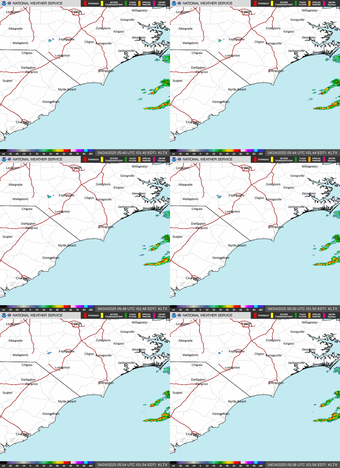
Radar — KLTX
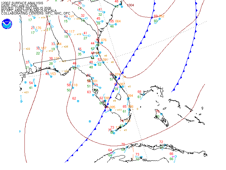
Surface Analysis — Eastern U.S. (South)
Satellite

Log in to save this location.
Nearest monitored road: North Kings Highway (Primary)
No significant changes with the latest forecast update.
- 1) drier air sticks around through early friday.
- 2) showers and thunderstorms possible saturday into early next week.
.key message 1...drier air sticks around through early friday.
Dry and comfortable conditions continue through thursday night with rain chances near zero. High temperatures will gradually increase each day through the end of the work week. The combination of warmer temperatures and increasing dew points may produce afternoon convection as early as friday afternoon.
.key message 2...showers and thunderstorms possible saturday into early next week.
A meandering frontal boundary over the mid-atlantic states will keep a chance of mainly afternoon and evening showers and thunderstorms in the forecast through monday or tuesday. Temperatures look to be near to above normal but shouldn't reach criteria for heat advisories.
High pressure and associated dry air will secure VFR conditions through the period. A few VFR cigs possible in onshore flow this afternoon at coastal terminals.
Extended outlook... VFR through friday. Low chance of restrictions this weekend into early next week, due to the return of afternoon convection. Fog possible friday through sunday night.
Through monday...generally expecting light E-NE winds through much of the period though a period of S-SW winds is expected fri and fri night. Speeds overall should remain 15 KT or less. Seas of 4 ft or less are expected with the highest seas in the 20-60 nm range.