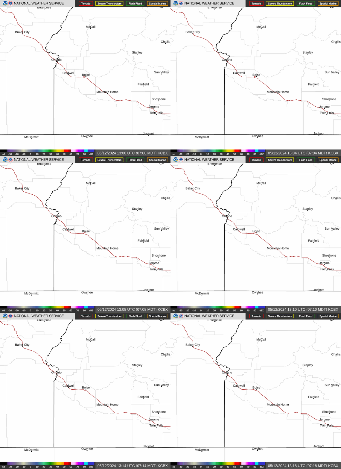
Radar — KCBX
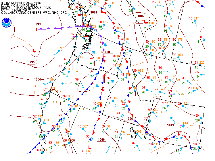
Surface Analysis — Western U.S. (North)
Satellite

Log in to save this location.
Updated aviation discussion.
- slight warming and drying trend wednesday, with light winds.
- a low pressure system will bring light precipitation and scattered afternoon thunderstorms across the area thursday and friday.
- a few storms could be strong on thursday with heavy rain, gusty outflow winds, and small hail.
Issued 311 AM MDT wed sep 16 2026 low pressure is currently digging down towards northern california, keeping robust southwest flow over the region. This low will continue to deepen over northern california today, bringing southeasterly flow aloft over the area. Easterly winds up to 10-20 MPH will kick up over the southeast oregon by the early afternoon. Monsoon moisture will be advected north this evening, with a 10-20% chance of showers and isolated thunderstorms over south central idaho this evening. As the low begins to shift into northern nevada, showers will expand in coverage over the treasure valley, the central idaho mountains, and southeast oregon on thursday. Moderate instability (400-800 j/kg of surface based CAPE) and wind SHEAR over 30 knots with this low moving in will bring a chance for strong thunderstorms over south central idaho and far southeastern oregon. Gusty outflow winds up to 50 MPH and small hail are likely late thursday with the strongest storms. Isolated showers and thunderstorms will linger over northeast oregon and central idaho on friday and saturday, with warmer and drier conditions returning over the rest of the region. Temperatures will cool slightly on friday before rebounding back to seasonable normals on saturday.
Issued 311 AM MDT wed sep 16 2026 high pressure will rebuild over the western US on sunday, bringing a slight warming and drying trend to the region through tuesday. Temperatures will reach back to near seasonal normals, with highs in the low 80S for the boise area on monday. By late tuesday, model solutions diverge on the track of a shortwave trough to our north. Currently it is forecast to stay to our north, bringing a 5-10% chance of showers over high terrain and a slight cooldown on wednesday. A few solutions deepen the trough over the region, which would bring an increased chance of precipitation and much cooler temperatures by the middle of the week.
Issued 1052 AM MDT wed sep 16 2026 VFR with few to scattered high clouds. A 10-20% chance of showers near ktwf/kjer and kbke/kmyl late tonight, increasing over most areas by thursday morning. Brief MVFR conditions possible in showers. Gusty outflow winds up to 30 KT near strong showers. Surface winds: E-NE 5-15 KT with gusts to 20 KT in SE or. Winds aloft at 10kft msl: S-SE 10-20 KT.
Kboi...VFR with few-sct high clouds this afternoon. Surface winds: variable less than 7 KT this morning becoming NW-N 6-11 KT in the afternoon after 21Z.