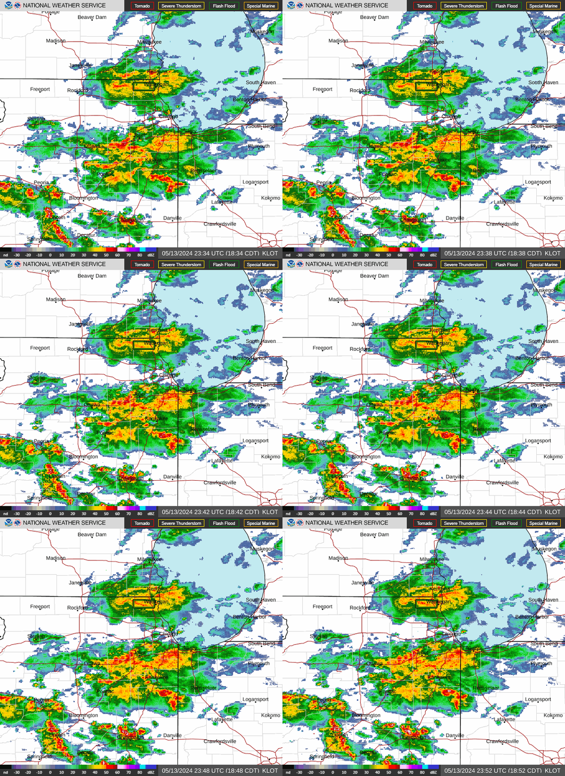
Radar — KLOT
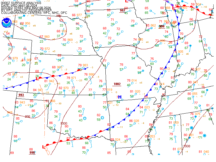
Surface Analysis — Central U.S. (Central)
Satellite

Log in to save this location.
Nearest monitored road: US-34 (Primary)
- showers and storms will move across the region late tonight through tomorrow morning. Localized flooding may occur in typical prone locations.
- a brief break in the pattern is expected tomorrow afternoon through friday before another period of wet weather materializes this weekend.
Issued at 205 PM CDT wed sep 16 2026
Per a recent hand surface analysis, the lower great lakes reside in a broad low-level baroclinic zone along the southern flank of an expansive high pressure system centered over lake superior and an unusually strong (600dm!) upper-level ridge centered over the southeastern united states. The broad region of low-level confluence within the baroclinic zone is supporting a pool of unusually high moisture content across portions of iowa, missouri, illinois, and indiana with surface dew points in the upper 60S to lower 70S and pwats of 2.1 to 2.25" (near record highs for the middle of september). A series of weakening mcvs are parading within the baroclinic zone, leading to areas of showers stretching from the ia/mo border through northern illinois and into northern ohio.
Tonight, an upper-level wave propagating within an elongated upper- level jet streak along the US/canadian border will induce modest low- level pressure falls in the central great lakes. As a result, south to southwesterly low-level flow will increase across the middle mississippi river valley (25 to 30KT at 850mb) facilitating a gradual increase in isentropic ascent and an increase in shower and thunderstorm coverage within the baroclinic zone. Coverage of storms should first be highest across central iowa near the nose of the low- level jet before expanding eastward into northern illinois toward daybreak as the direction of the low-level jet veers westerly. Storms should gradually weaken in intensity and coverage through the morning hours as the low-level jet weakens in magnitude.
Cam-based guidance matches such a conceptual model with a somewhat narrow band of storms parading within the baroclinic zone tonight into tomorrow morning, but will note the usual differences in exact storm placement owing to disparity in the exact location of best low-level forcing. Tend to give a bit more preference to model outcomes that depict a more southeasterly trajectory in line with conglomerating outflow, leading to a favored corridor more or less near or just south of the i-80 corridor. Accordingly, will feature the highest pops (>80%) near and south of i-80 tonight through tomorrow morning. With at least some hint of upper-level jet forcing in the general vicinity to facilitate weak frontogenesis, can also envision additional showers and storms north of the primary axis near the il/wi state line, as well. So, will hold onto likely pops as far north as rockford and evanston through the morning hours.
With the aforementioned anomalously moist environment (pwats perhaps ticking upward toward 2.3 to 2.4"), rain rates beneath thunderstorms tonight into tomorrow morning will be solidly in the "torrential" category. Conceptually, would expect there to be a stripe or two of 12-hour rainfall amounts in the 2 to locally 5 inch range tonight into tomorrow morning stretching from central iowa through northern illinois. Did give serious consideration to hoisting a flood watch across the area, though was compelled to hold off by 30-day precipitation deficits of a mere 10 to 20% of normal and soil moisture values well below the seasonal values. With that said, can certainly envision areas of ponding water in low-lying areas where downpours are most persistent as well as a typical urban flash flood threat.
After a wet morning, current expectations are for the latter half of thursday and into friday to be dry as a surface high pressure system builds into the great lakes and shunts the low- level baroclinic zone southward. Friday may offer the best shot of seeing more than a few peeks of the sun over the next several days. Persistent onshore flow on the southern side of the surface high should lead to a modest lake shadow with highs generally ranging from around 80 inland to the mid 70S lakeside.
Attention then turns to what will be another wet period across the region this weekend. Ensemble guidance remains in excellent agreement that the upper-level wave moving across california will stall by midweek as the stubborn upper-level ridge across the southeastern US migrates toward the central plains. As this occurs, an upper-level wave (or two) originating from northern mexico will propagate northward across the western US and shift eastward toward the midwest by friday. Increasing upper-level jet diffluence and low-level convergence along the noses of an intensifying low-level jets should lead to hefty regions of showers and storms in the upper mississippi river valley to our north and west friday into saturday morning. As the parent pacific wave drifts eastward and a surface high pressure system moves into southern canada this the weekend, a low-level frontal zone will shift southward across the lower great lakes and serve as a focus for several rounds of showers and storms saturday afternoon through the middle of next week. Will hence advertise nearly continuous broad-brushed pops saturday afternoon onward with a gradient in temperatures (coolest north, warmest south), not unlike what we're dealing with now.
Borchardt
Issued at 115 PM CDT wed sep 16 2026
A train of remnant convectively-induced waves will track within broader WNW flow aloft from eastern kansas to lower michigan through this evening. The most recent wave (and third affecting the area so far today) will shift across northern illinois through the rest of the afternoon and bring isolated to widely scattered mid-level sprinkles and/or light shra. The influence of the waves combined with diurnal heating have resulted a growing area of MVFR ceilings, which may settle below 2kft in conjunction with the passing wave this afternoon. High-end MVFR ceilings and patches of lower-end MVFR ceilings are then expected this evening. NE winds up to around 10 knots this afternoon will diminish to under 10 knots this evening.
A developing low-level jet over iowa will veer toward the north half of illinois overnight and interact with the existing surface front (and northward-sloping low-level front) to produce a general WNW-ESE axis of shra and ts somewhere across the northern third of illinois late tonight through sunrise thursday. While the main precip axis is favored to remain just south of the chicago terminals, have opted to include prob30 ts as convection could be quite expansive and contain embedded convective elements over the much of the chicago metro. Winds during this time will be somewhat vrb, but favor NNW around or less than 5 knots. Meanwhile, ceilings within the precip axis are expected to lower into IFR levels.
The precip axis should gradually translate southward through the morning, though widespread IFR to low-end stratus with perhaps patches of dz will persist through much of the day. Winds will settle NNE/NE up to around 10 knots during this time.
Kluber