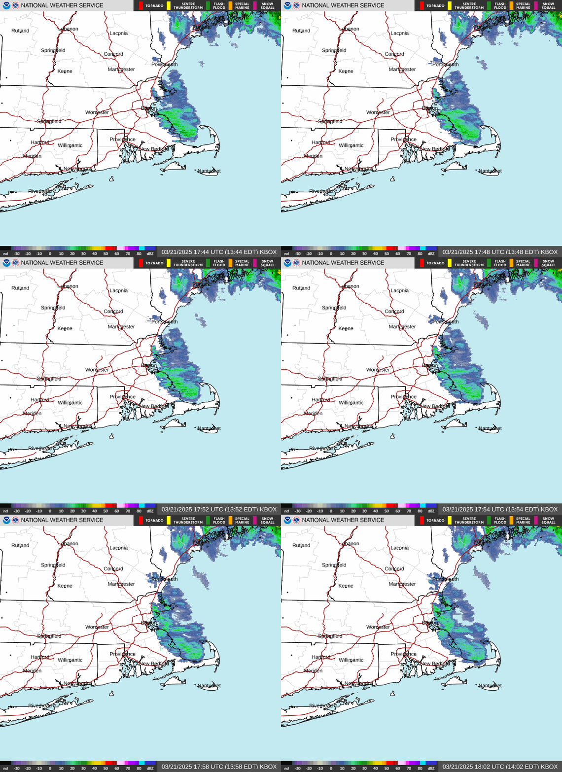
Radar — KBOX
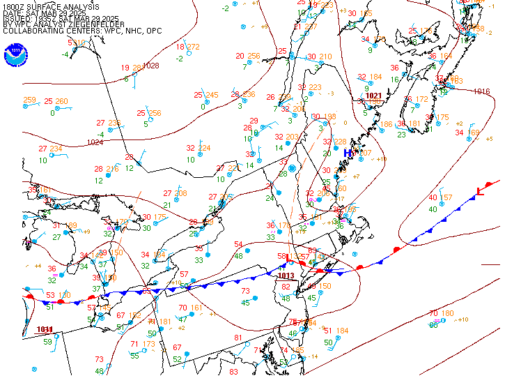
Surface Analysis — Eastern U.S. (North)
Satellite

Log in to save this location.
Nearest monitored road: Main Street (Secondary)
Minor update to the aviation section for the 00Z tafs.
1. High pressure continues to dominate the weather through at least the middle of the upcoming week bringing above normal temperatures. Expect mainly dry conditions and no significant weather impacts.
Key message 1 description... No tricks with tonight's forecast! High pressure builds back into the area with some shortwave energy bringing just enough passing cloud cover to increase the halloween vibes. Ghosts and ghouls will want a jacket tonight as temperatures start the evening in the low to mid 40S north, and in the upper 40S to low 50S south, but they will be quickly dropping into the 30S by the time the candy bowls run dry. Strong radiational cooling continues through the night with the first morning of november starting out in the upper teens to mid-20S.
Temperatures rebound quickly on sunday as high pressure slides by to our south and starting up a warmer southwesterly flow. Clear skies should allow temperatures to mix into the low to mid 50S in the north, and into the upper 50S to near 60f in the south. This flow will raise dewpoints as well making for a comparatively mild night in the upper 30S for most sunday night. High pressure slowly continues eastward on monday continuing warm and dry conditions for much of the area, but low pressure passing to our north along with shortwave troughing aloft may bring some upslope showers to the higher terrain. Otherwise, daytime temperatures climb into the low to mid 60S for the foothills, with upper 60S to near 70f in the south. Temperatures are slightly cooler tuesday as a weak backdoor cold front sinks southward. This front then lifts back north as a warm front and may result in a few showers tuesday night into wednesday morning as it does. Above normal temperatures look to continue through the remainder of the upcoming work week as ridging aloft remains firm.
The forecast going into late week remains very low confidence as global models have yet to come to any kind of consensus as to what might occur as troughing approaches the eastern seaboard. Ensembles have a fair signal for rain in this time frame, but there has been no clear trend as fronts and systems continue to bounce around. The nbm was ready to go ahead and throw out likely pops already, but i AM not so confident and made sure those were pulled back. It is certainly the window to watch right now, but that is all that can be said at this point.
Through sunday: VFR expected with light and variable winds.
Outlook... Sunday night-monday night: mainly VFR conditions with upslope showers around the mountains.
Tuesday-tuesday night: MVFR ceilings possible, especially in the mountains. More widespread showers possible.
Wednesday-thursday: VFR conditions expected.
Sub-sca conditions look to prevail through at least the middle of the upcoming week as high pressure settles over the waters. Sca conditions are going to be possible late week, but there is low confidence on the time frame.