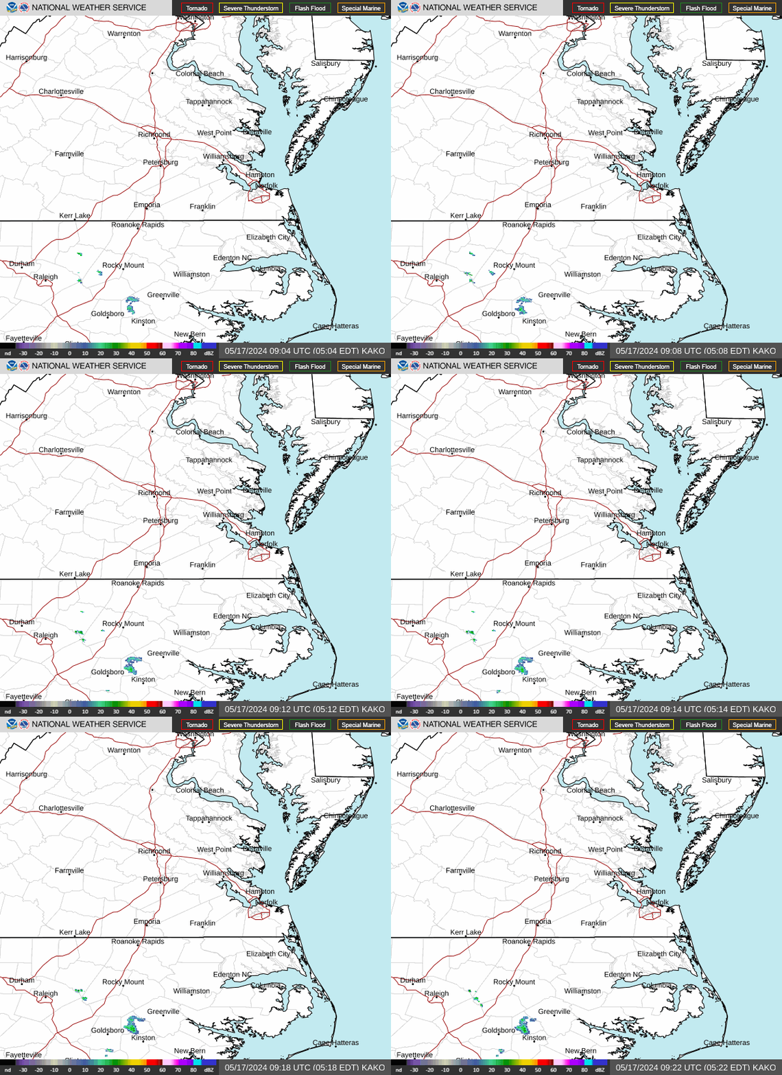
Radar — KAKQ
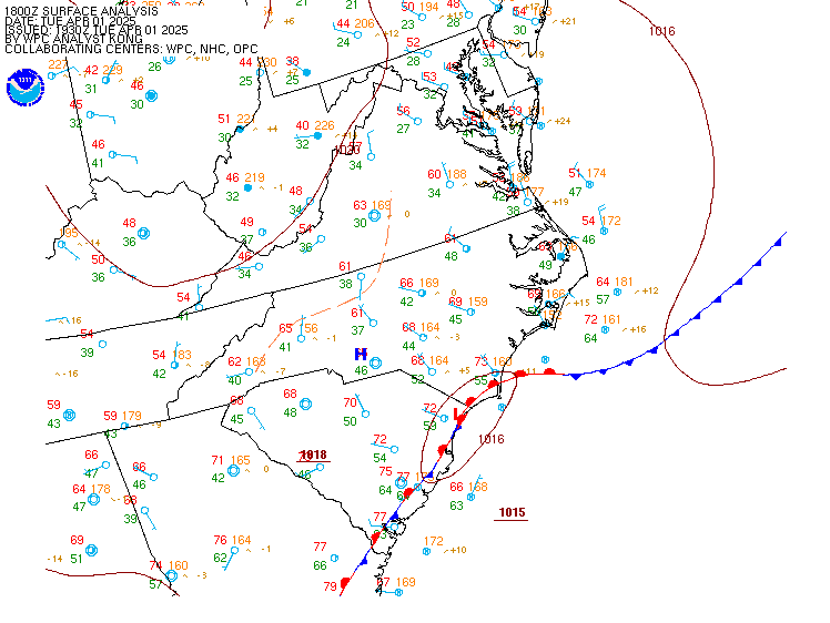
Surface Analysis — Eastern U.S. (Central)
Satellite

Log in to save this location.
Nearest monitored road: [Near Saint Pauls Boulevard] (Primary)
No major changes to the forecast.
1) dry and seasonable conditions continue tonight with unseasonably warm weather and chances for showers and storms returning late week and into the weekend.
As of 225 PM EDT wednesday...
Key message 1...dry and comfortable conditions continue tonight with unseasonably warm weather and chances for showers and storms returning late week and into the weekend.
1028mb high pressure remains stationed over the mid-atlantic with mostly clear skies noted over the region. An unseasonably strong (600dm) upper ridge is noted just to our SW. A few cumulus clouds have developed across the eastern third of the area, primarily near the ches bay and coast. Temperatures have climbed to around seasonal norms this afternoon with most locations in the upper 70S to low 80S. A few spots in the piedmont may make it into the mid 80S over the next hour or two.
High pressure slowly moves offshore this evening and tonight with low level flow becoming S or SE. It looks like we will get one more pleasant night with lows in the upper 50S to around 60 degrees. Above average temps return to the region thursday with highs back into the upper 80S and low 90S inland and mid to upper 80S near the coast. A front will drop slowly southward from the ohio valley toward the region with a few showers or storms possible across far NW portions of the cwa (louisa and fluvanna, primarily) during the afternoon and early evening. Not expecting much coverage or rainfall from any convection that manages to form on thursday. A few showers may linger across the far northern portion of the area into thursday evening with overnight lows in the mid 60S to low 70S.
The front will cross the area friday morning as strong high pressure over the great lakes builds southward. Some pre or post-frontal showers are possible on friday, mainly over the SW half of the area but QPF continues to be rather light (0.1 to 0.25"). High temps range from the mid 80S N to the low 90S S. Mostly dry and somewhat cooler on saturday behind the front with highs in the low to mid 80S. The front likely lifts back to the north sunday into early next week with increasing deep moisture and chances for diurnal showers and storms.
As of 120 PM EDT wednesday...
VFR conditions prevail through the 18Z taf period. Satellite and surface observations show some sct to occasionally bkn cu across the SE terminals (orf, phf, and ecg) with bases 3500-4000 ft. Winds are between 5-10 KT across the region but direction is heavily dependent on location with coastal terminals likely to have sea/bay breeze influence through the rest of the afternoon. Winds become light and variable tonight with mostly clear skies. Some fog is possible a low level moisture increases tonight but low confidence in coverage.
Outlook: VFR conditions prevail through at least thursday night. Scattered showers and storms are possible friday afternoon- evening, which could lead to localized instances of sub-VFR conditions. Otherwise, VFR conditions likely prevail into the upcoming weekend outside of any localized ground fog.
As of 230 PM EDT wednesday..
Key messages:
- sub sca conditions are forecast through through thursday night. A cold front drops southward friday with increasing onshore winds, and possible low-end scas.
This afternoon, high pressure (~1028mb) is centered just off the mid atlantic coast. Winds are wind light out of the S-SE, averaging ~5 to 10 knots. Seas are averaging 2 to 3 feet (locally 4 feet well offshore). Similar conditions are expected overnight into the first half of thursday as the high shifts further to the south. Southerly winds will increase slightly to 10 to 15 knots later thursday afternoon into thursday night ahead of an approaching cold front. Afternoon models have trended quicker with the frontal passage on friday, now forecast to cross the waters friday morning into the early afternoon. In the wake of the front, winds become N-NW and average 10 to 15 knots with strong high pressure situated to our north. Gusts to 20 knots will likely be possible at some sites across the chesapeake bay friday afternoon-evening, but likely not frequent enough to warrant scas. In addition, local wind probs for sca conditions are only hovering around 10 to 15% (max). As we head into saturday, winds become NE and remain elevated to around 10 to 15 knots across all waters. Winds become southerly later saturday night into sunday and decrease. A stronger system may impact the waters during the early to middle portions of next week.
The rip current risk was upgraded to high for the nc beaches today after coordination with NWS morehead city due to lifeguard reports. A moderate rip current risk will likely continue for the southern beaches on thursday, with a low risk across the northern beaches. The rip current risk likely improves to low at all area beaches on friday.