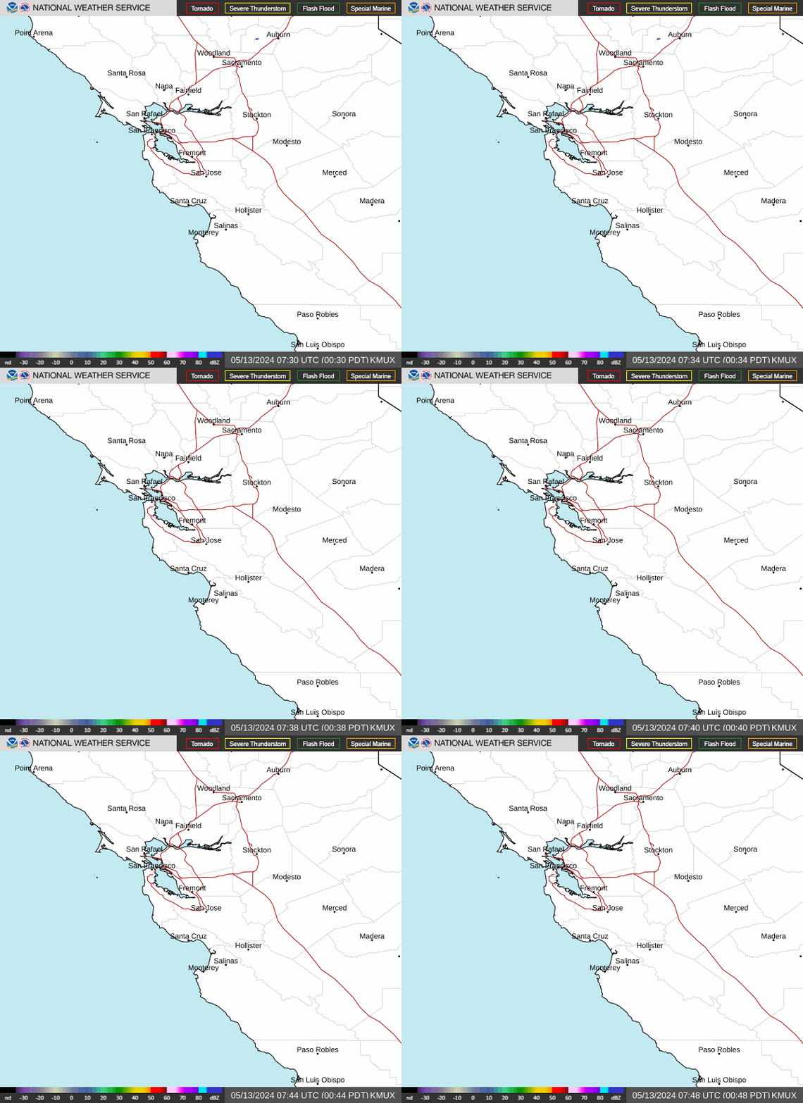
Radar — KMUX
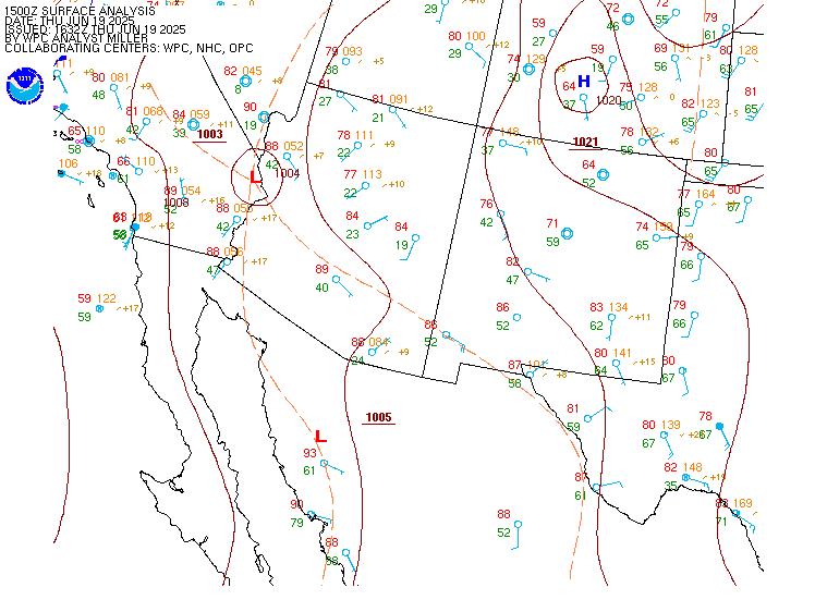
Surface Analysis — Western U.S. (South)
Satellite

Log in to save this location.
Nearest monitored road: Broadway (Primary)
Updated at 110 PM PDT wed sep 16 2026
- cooler temperatures through thursday
- warming trend friday into the weekend
Issued at 110 PM PDT wed sep 16 2026 (this evening through thursday night)
The marine layer was measured to be 2,400 feet deep by the 12Z sounding from oakland. Surface observations show it's closer to 3,000 feet deep along the central coast, where all of santa cruz county remains under overcast skies. The NW wind direction created some downslope dry air that managed to keep silicon valley clear, but that was the exception. The morning stratus reached inland to healdsburg, dublin, and paso robles. As a cut-off low over northern california continues to drift south, the marine layer will expand over the next 24 hours. The deeper cloud layer will be enhanced by some 700 mb vorticity and typical orographic lift to support some drizzle overnight through thursday morning. The signal is better over the bay area than the central coast, but all of the typical drizzle locations have a chance. In fact, all 50 of the ECMWF ensemble members have some precipitation reaching sfo thursday morning. This is still drizzle though, so the accumulation will range from a trace to a few hundredths before the atmosphere mixes in some drier air by midday.
In addition to drizzle, the cut-off low will bring some strong onshore winds this evening. The sjsu 2km wrf ensemble shows high confidence in a onshore 8-10 mb sfo-wmc gradient developing quickly this afternoon. This is a result of northerly winds west of the low cooling the coast, while warm southerly winds east of the cut-off support thermal exhaust and surface low pressure over northern nevada. The rrfs shows gusts up to 40 MPH this evening in favored gaps such as pacheco pass, altamont pass, and the carquinez straight. Gusts up to 25 MPH are likely in both the san francisco and monterey bays later today as well. These winds will peak in the early evening, but continue well into the overnight hours. The strongest winds are not widespread enough to warrant a wind advisory, but expect to feel them while driving through the areas mentioned.
Outside of drizzle and wind, the cut-off low will bring cool, humid conditions to the entire bay area. Coastal temperatures will be in the 60S along the coast and 70S inland. Some of the warmer places will reach the upper 70S, but that's still roughly 10 degrees cooler than normal for this time of year. We'll get a repeat of these cool temperatures on thursday before a slight warming trend kicks off friday.
Issued at 110 PM PDT wed sep 16 2026 (friday through next tuesday)
The cut-off low will have weakened and start to be reabsorbed into the jet stream by friday. This will open the door for a short wave ridge to briefly build through saturday. While short lived, this feature will cause the marine layer to compress and temperatures to return back to normal. We may even see some weak offshore winds at this time. The sfo-wmc gradient is expected to flip negative by saturday morning, but there is no indication it will be very strong. By sunday a much weaker cut-off low will move in from the west. This feature will likely keep conditions pretty consistent and relatively benign through mid week. The 850 mb temperature is expected to hover around 20c early next week, which is around the 75th percentile for this time of year. By mid week the uncertainty balloons. Since the pattern depends on multiple, hard to track cut-off lows, chaos theory goes into full swing quickly. Ensembles shows an equal chance of 850 temps reaching 5c or 25c next thursday, which literally spans the entire range of historical possibilities for this time of year. While i like to look for signs of early rain or strong offshore winds this time of year, with the high uncertainty it's not really possible to say what's likely to happen beyond the 7 day forecast.
(18Z tafs) issued at 1024 AM PDT wed sep 16 2026
An interesting stratus pattern across the region today. Stratus should clear within the hour at sts and apc with questions as to if oak and sfo will clear at all today. Model guidance suggests patchy reductions in cloud cover are possible for oak, sfo, mry, and sns with the general prevailing conditions being MVFR. Kept the tafs slightly more pessimistic with MVFR conditions prevailing through the day but there may be brief periods where cloud cover is reduced and conditions improve during the day. Breezy onshore winds are expected this afternoon and evening with winds between 10 to 15 knots and gusts to around 25 knots at oak and sfo. With the marine layer deepening to 3000 ft tonight it is likely that ovc/bkn clouds will be at a higher depth tonight. This may result in cloud cover on the border of MVFR / VFR criteria.
Vicinity of sfo...stratus continues to push into sfo after clearing briefly earlier this morning. Maintained a slightly more optimistic taf with VFR returning this afternoon. MVFR conditions return late tonight and prevail through tomorrow morning. Gusts to around 25 knots are expected this afternoon.
Sfo bridge approach...similar to sfo.
Monterey bay terminals...MVFR conditions at both sites. Given the continued push of stratus towards the interior, kept MVFR conditions prevailing through the day at both sites. This may need to be adjusted if cloud cover is able to break up more than originally anticipated. Breezy westerly winds between 10 to 15 knots expected this afternoon with lighter winds overnight.
(today through monday) issued at 1024 AM PDT wed sep 16 2026
Moderate northwest to north winds prevail across the outer waters with occasional fresh to strong gusts to diminish today. West to southwest moderate breezes dominate over the bays with gusts up to 25 knots resulting in hazardous conditions for small crafts late morning through this evening. By friday, widespread northwest to north breezes increase to fresh with occasional strong gusts. Wind driven rough seas to 9 to 10 feet subside to moderate by the evening and will remain slight to moderate into the weekend.
Issued at 412 AM PDT wed sep 16 2026
A passing trough is allowing the marine layer to expand with the depth estimated around 2000-2500 feet in the area around the timber and plaskett fires. Above the marine layer inversion, humidities remain low with relative humidity values as low as 15% observed. The trend for deeper marine layers is expected to continue into friday, with humidities in higher elevations expected to rise as a result. Some nocturnal drying is possible in the highest peaks, but minimal coverage is expected.
Dialh