Weather Lookup

Current Conditions — KOGD

82°F Clear
💧 Humidity 30%
💨 Wind 6 mph W
👁 Visibility 10.0 mi
🌡 Pressure 29.91 inHg

Hourly Forecast — Ogden,UT

12:00 AM 85°F Mostly Cloudy 💨 5 mph E
1:00 AM 84°F Mostly Cloudy 💨 5 mph E
2:00 AM 82°F Mostly Cloudy 💨 5 mph E
3:00 AM 80°F Mostly Cloudy 💨 5 mph E
4:00 AM 78°F Mostly Cloudy 💨 5 mph E
5:00 AM 77°F Mostly Cloudy 💨 5 mph E
6:00 AM 76°F Partly Sunny 💨 5 mph E
7:00 AM 74°F Partly Sunny 💨 5 mph E
8:00 AM 77°F Partly Sunny 💨 5 mph E
9:00 AM 81°F Mostly Cloudy 💨 7 mph S
10:00 AM 87°F Mostly Cloudy 💨 7 mph S
11:00 AM 89°F Mostly Cloudy 💨 7 mph S
12:00 PM 91°F Mostly Sunny 💨 8 mph S
1:00 PM 93°F Mostly Sunny 💨 8 mph S
2:00 PM 95°F Mostly Sunny 💨 8 mph S
3:00 PM 97°F Sunny 💨 7 mph SSW
4:00 PM 98°F Sunny 💨 7 mph SSW
5:00 PM 98°F Sunny 💨 7 mph SSW
6:00 PM 98°F Partly Cloudy 💨 6 mph SSW
7:00 PM 97°F Partly Cloudy 💨 6 mph SSW
8:00 PM 96°F Partly Cloudy 💨 6 mph SSW
9:00 PM 91°F Partly Cloudy 💨 5 mph ESE
10:00 PM 86°F Partly Cloudy 💨 5 mph ESE
11:00 PM 85°F Partly Cloudy 💨 5 mph ESE

Daily Forecast — Ogden,UT

Overnight 72°F Isolated Rain Showers 💨 5 mph E
Wednesday 95°F Isolated Showers And Thunderstorms then Scattered Showers And Thunderstorms 💨 8 mph SSE
Wednesday Night 69°F Isolated Showers And Thunderstorms then Partly Cloudy 💨 6 mph ESE
Thursday 98°F Sunny 💨 3 to 7 mph SSW
Thursday Night 72°F Mostly Clear 💨 6 mph E
Friday 102°F Sunny 💨 7 mph S
Friday Night 73°F Mostly Clear 💨 2 to 6 mph NE
Saturday 105°F Sunny 💨 7 mph S
Saturday Night 76°F Mostly Clear 💨 2 to 6 mph E
Sunday 103°F Sunny 💨 2 to 6 mph SSW
Sunday Night 74°F Mostly Clear 💨 2 to 7 mph NNE
Monday 99°F Sunny 💨 2 to 6 mph NW
Monday Night 72°F Mostly Clear 💨 2 to 6 mph N
Tuesday 100°F Sunny 💨 6 mph E

🚗 Road Conditions

Good

Nearest monitored road: 24th Street (Secondary)

1:30 AM Good
1:45 AM Good
2:00 AM Good
2:15 AM Good
2:30 AM Good
2:45 AM Good
3:00 AM Good
4:00 AM Good

Forecast Discussion — SLC

View Full Discussion on NOAA →

Key Messages

- monsoon moisture will increase and spread northward for wednesday, bringing a heightened threat of flash flooding, before building high pressure brings a drying trend thursday through the weekend. - there is a high chance that temperatures will become extremely hot by the weekend as the ridge continues to build, bring the potential for an increase in heat related illness.

Discussion

A broad ridge is centered over the central united states this evening, allowing for a southerly flow to develop over utah and southwest wyoming. The airmass over the area has remained relatively moist, with satellite derived pw values in the 0.8 to 1.0 range across much of the area, highest over southern utah. Earlier showers and storms over southern utah are decreasing in coverage at this time. However, a series of weak shortwaves moving north across utah overnight will allow for some showers to continue into the morning.

The southerly flow will allow moisture over the area to increase and spread northward through tomorrow afternoon, with pw values of an inch or more expected to spread over the vast majority of the forecast area. Combined with the supplemental instability from the shortwaves, this will bring another round of showers and thunderstorms, and any storms that develop will be capable of producing heavy rain that could lead to flash flooding. The showers and associated cloud cover area expected to keep high temperatures near to just below seasonal normals during the day.

Beginning thursday, the broad ridge is expected to re-orient itself over the west, with the center moving directly over utah for the weekend. This will add a westerly component to the flow aloft that will draw a drier airmass into the area, decreasing the threat of convection. As the ridge strengthens, temperatures will become increasingly hot, peaking on saturday with 700mb temperatures expected to be in the lower 20S celsius across the entire area. This will result very hot temperatures that will increase the risk of heat related illness, particularly for valley locations. Some uncertainty remains with regard to how high the heatrisk will get on friday, with thursday nights lows potentially getting low enough to keep the heatrisk in the orange (moderate) range for much of northern utah during the day. For saturday and sunday, confidence is higher than usual in the potential for very hot maximum temperatures, but there remains a good amount of spread in the ensembles with regard to low temperatures and therefore how much overnight relief the area, northern utah in particular, will see. Therefore, have decided to hold off on an extreme heat watch at this time due to uncertainty about the length of time of the event.

By early next week, the ridge is expected to weaken a bit and shift south as a pacific northwest trough moves over the top of it. This would provide some relief from the heat, at least for northern portions of the area, though there remains a good amount of spread in the guidance with regard to how much the trough will act to weaken the ridge and therefore how much of a drop in temperatures there might be. It does seem likely, however, that the very hot weather will continue for at least southeast utah.

Aviation

Kslc...the slc terminal will see VFR conditions through the night with winds expected to prevail out of the south by 06Z. There is a 20-30 percent chance that showers overnight will bring a period of gusty and/or erratic winds to the terminal, most likely between 09Z and 12Z.

Rest of utah and southwest wyoming...the airspace will see prevailing VFR conditions through the overnight hours. Scattered showers with a few thunderstorms will continue overnight, with the best threat shifting from southern utah late this evening to northern utah during the early morning. Any storms that develop will have the potential to produce periods of gusty and erratic winds.

Fire Weather

Moisture will increase over the area through wednesday afternoon. This will bring the continued potential of showers and thunderstorms with a good chance of wetting rainfall. However, these storms will also be accompanied by light and periods of gusty and erratic winds.

Building high pressure will bring a sharp drying trend thursday through the weekend with extremely hot temperatures developing, particularly saturday and sunday. Minimum relative humidity values will likely fall into the single digits for many locations during this time. Winds are expected to remain generally light through saturday, with west to southwest winds expected to pick up sunday as the ridge weakens with a pacific northwest trough grazing the area. Winds are most likely to remain below critical values, but there is a low chance of pockets of critical fire weather conditions early next week.

Radar — KMTX

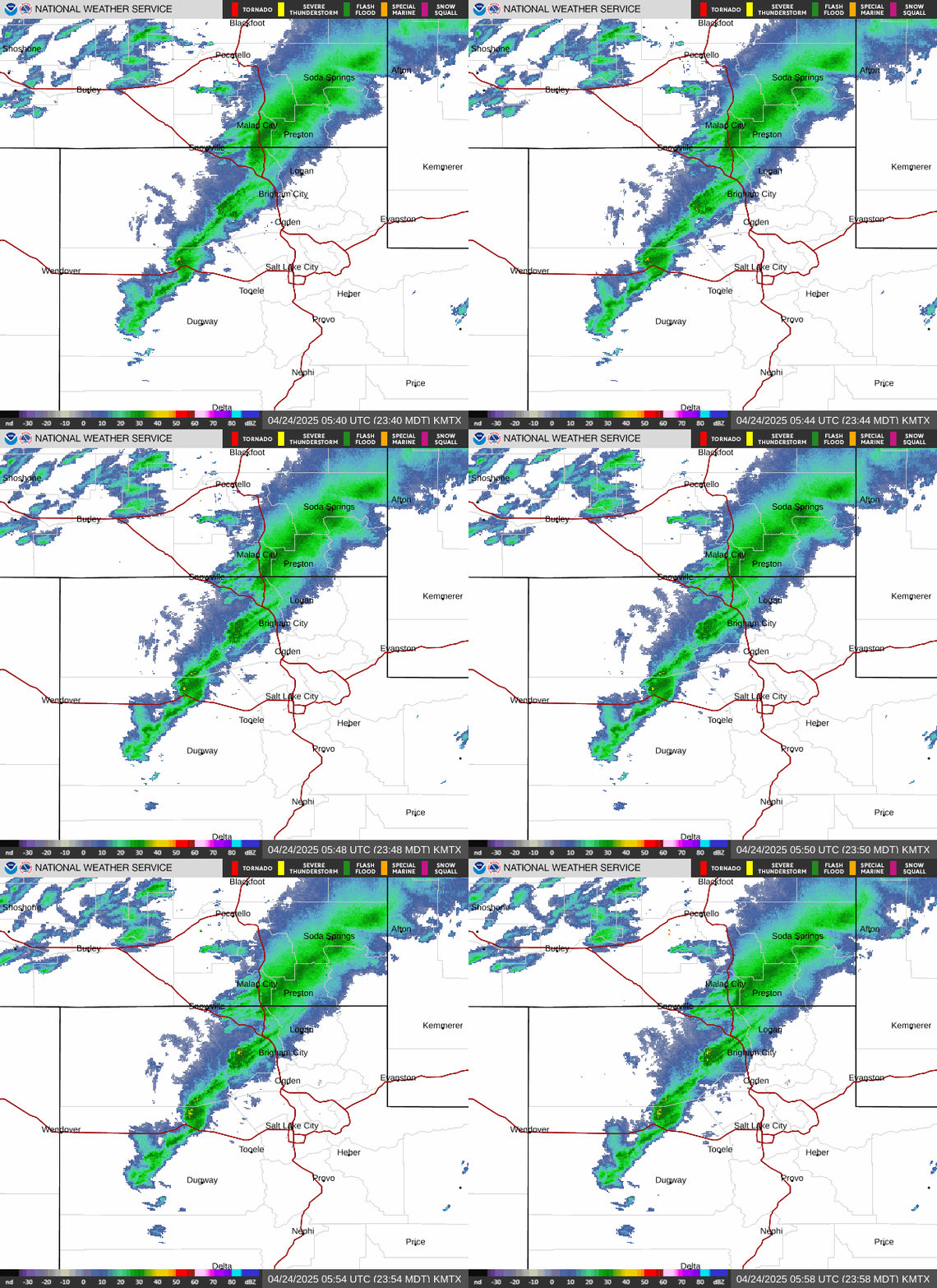
Radar loop for KMTX

Surface Analysis — Western U.S. (Central)

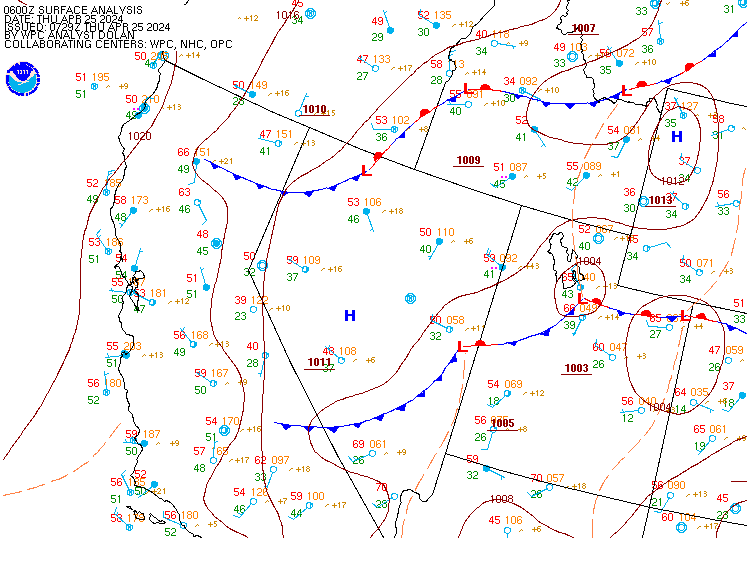
Surface map for Western U.S. (Central)

Satellite

Satellite imagery
Expanded view