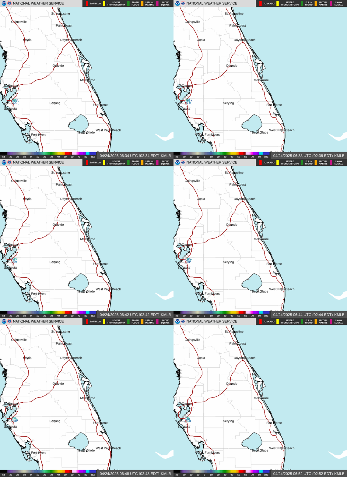
Radar — KMLB
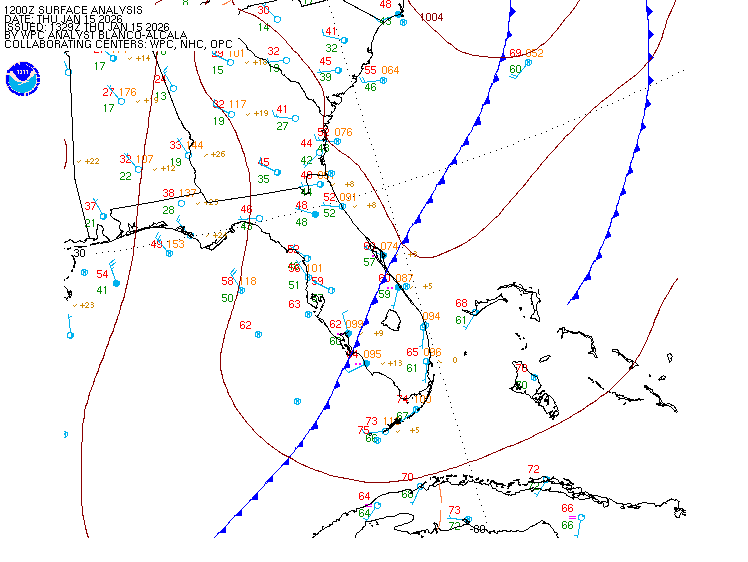
Surface Analysis — Eastern U.S. (South)
Satellite

Log in to save this location.
Nearest monitored road: South Orange Avenue (Primary)
Issued at 243 PM EDT wed sep 16 2026
- breezy to windy, especially at the coast, through thursday. The risk of hazardous beach and boating conditions increases today, including rough surf/seas and a high risk for life-threatening rip currents.
- a wet pattern of onshore moving showers and a few storms is forecast into late week. Repeated bands of rain and storms over saturated spots may lead to localized flooding in urban areas, especially later in the week.
- seasonable temperatures are forecast into early next week.
Issued at 243 PM EDT wed sep 16 2026
Today-tonight... Upper level high pressure across the deep south will move ever so slightly to the east today, with shortwave energy traversing across florida through the period. At the surface, high pressure along the eastern seaboard of the US will slowly shift eastward, while the axis remains over the florida peninsula. Locally, the pressure gradient will remain tight, resulting in breezy and gusty east-northeast winds of 15-20 MPH with peak gusts 25-30 MPH at times. A drier airmass has filtered across north- central florida today, with goes-19 econus total precipitable water satellite image showing pw values ranging from 1.2-1.7" from orlando metro northward, and 2.0"+ southward. The rain chances reflect this, with a low to medium (20-40 percent) chance generally around the orlando metro area and north and west of the i-4 corridor, with a medium to high (50-80 percent) chance southward. A few storms will be possible throughout the day. However, moist low level onshore flow should keep at least an isolated mention along the volusia coast through this afternoon. Storms today will be capable of producing occasional to frequent lightning strikes, gusty winds of 40-45 MPH, and heavy downpours. Any lingering activity across the interior will diminish into early evening, with isolated to scattered showers and storms remaining possible along the coast in the onshore flow through the overnight hours, with greatest coverage forecast to occur along the southern treasure coast.
Outside of storms, temperatures are forecast to be seasonable, with afternoon highs in the upper 80S to low 90S. These temperatures combined with high humidity will produce peak heat indices of 100- 107f. Warm and muggy conditions will continue tonight, with overnight lows in the mid to upper 70S, remaining warmest along the coast.
At the beaches, a high risk of life threatening rip currents exist at all area beaches today, along with rough surf. Heed the advice of lifeguards, beach patrol flags, and signs. Entering the surf is not advised! There is also hazardous marine conditions across all central florida atlantic waters. See marine section for more details.
Thursday... Upper level high pressure across the deep south will remain in place, with shortwave energy traversing across florida through the day. An upper level trough will develop offshore the east coast of florida on thursday and slowly shift westwards towards the florida peninsula through the day. At the surface, high pressure along the eastern seaboard of the US will slowly shift eastward and offshore by late thursday, while the axis remains over the florida peninsula. Locally, breezy conditions will remain as east-northeast winds of 10-15 MPH with gusts to around 20 MPH at times are forecast through the day. Drier air continues to filter across the local area, limiting convection north and west of the i-4 corridor. Multiple rounds of more widely scattered showers and a few storms remain forecast mostly south of the i-4 corridor. Greatest coverage (pop 40-60 percent) will be CAPE canaveral southward and towards lake okeechobee. Much like today, any lingering activity across the interior will diminish into early evening, with isolated to scattered showers and storms remaining possible along the coast in the onshore flow through the overnight hours, with greatest coverage forecast to occur along the southern treasure coast.
Temperatures will be seasonable, with afternoon highs in the upper 80S to low 90S. Muggy and warm conditions will continue overnight and into early morning, with lows in the mid to upper 70S. However, areas along the barrier islands may struggle to fall below the 80 degree mark each morning.
Friday-tuesday... Upper level high pressure across the deep south will remain in place through the weekend. The aforementioned trough will become a closed low off the eastern coast of florida on friday and slowly push westward, across the florida peninsula, and out into the gulf through the weekend before shifting northward towards the la/ms/al coastline into early next week. At the surface, high pressure in the western atlantic will slowly move north and westward (closer to the US) through the period, with the axis remaining over the florida peninsula. Locally, moisture will recover behind the low pressure, resulting in moderate to high rain chances areawide into early next week. Light easterly winds veer southeast to south late in the weekend, becoming more onshore and locally enhanced each afternoon with the development of a weak sea breeze. Temperatures will be seasonable with afternoon highs in the upper 80S to low 90S and overnight lows in the mid to upper 70S.
Issued at 243 PM EDT wed sep 16 2026
Today-sunday... Hazardous boating conditions this afternoon through thursday as the onshore winds increase and build seas. Small craft advisories are currently in effect for all the atlantic waters this afternoon through tonight. East-northeast winds 20-25 KT with higher gusts this afternoon will slacken overnight, generally holding around 20 KT near and north of the CAPE thursday. Seas up to 6-8 ft this afternoon will mostly subside to 5-6 ft by sunrise thursday, but seas up to 7 ft linger across portions of the gulf stream through early thursday afternoon. The small craft advisory will remain in effect for the offshore brevard/volusia waters through thursday morning. Small craft should exercise caution across all the waters thursday afternoon. More favorable boating conditions return areawide friday with onshore winds around 12 KT or less. Seas will subside to 3-4 ft friday, and 2-3ft saturday and sunday. Scattered to numerous showers and storms will be possible each day as an upper level low approaches and passes near or through the local atlantic waters before moving across the state and out into the gulf.
(18Z tafs) issued at 151 PM EDT wed sep 16 2026
Primarily VFR/MVFR conditions are expected through the taf period outside of showers/lightning storms. On & off showers/storms are forecast W/ onshore flow in place. Prob30/tempo groups exist for shra/tsra between 18Z-21Z at kmco/kism/kvrb/kfpr/ksua & between 12Z-16Z at kmlb southwards. Expect breezy ENE winds at 14-18KTS W/ gusts to 22-28KTS. An isol'd strong storm cannot be ruled out.
Dab 76 87 76 88 / 40 30 20 30 mco 75 89 73 90 / 30 20 10 40 mlb 78 88 77 88 / 30 50 40 60 vrb 76 87 75 87 / 40 50 50 60 lee 73 89 73 90 / 20 10 0 20 sfb 74 88 73 88 / 40 30 10 30 orl 75 88 74 89 / 30 20 10 30 fpr 76 88 75 87 / 50 50 50 60