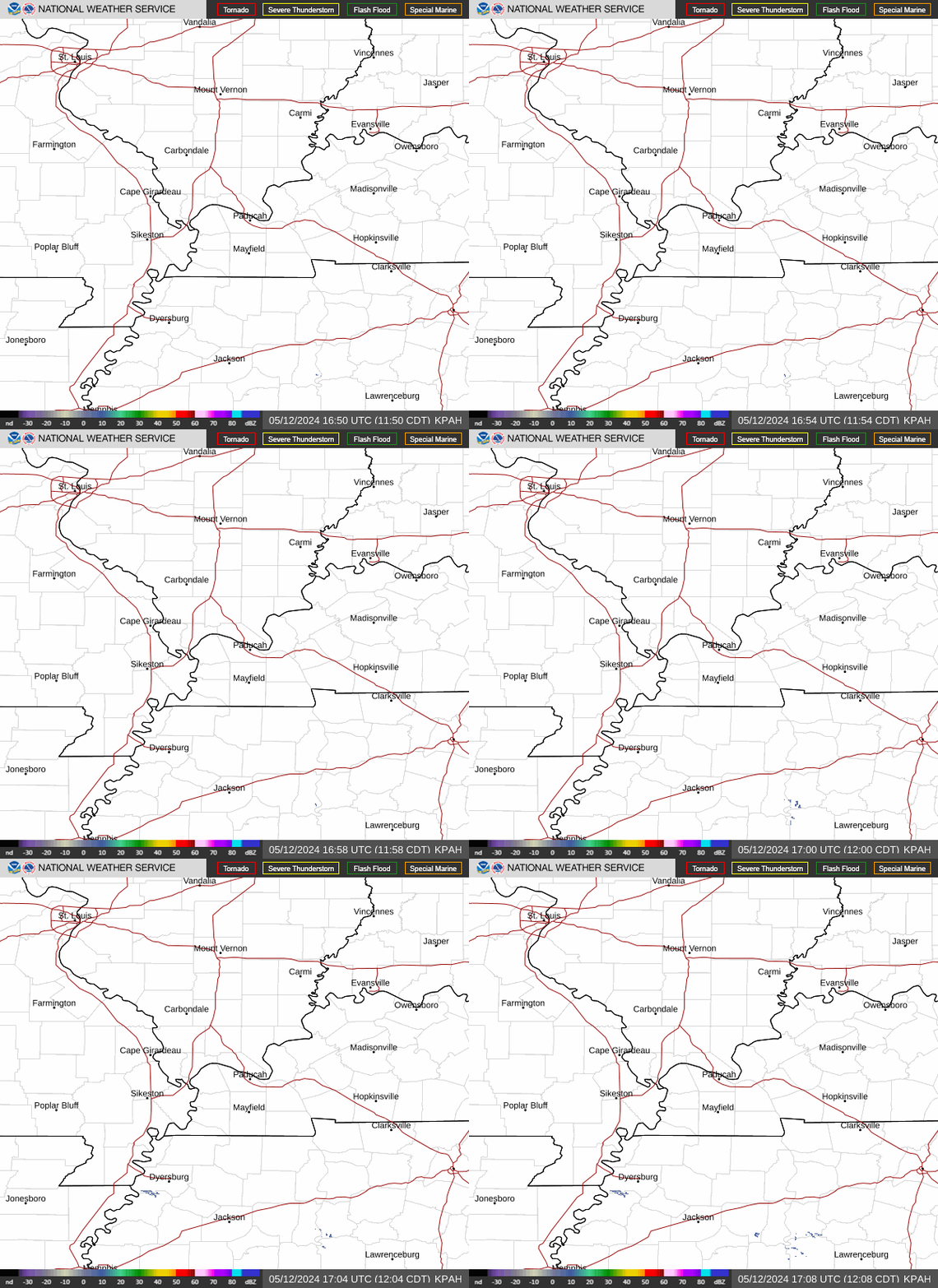
Radar — KPAH
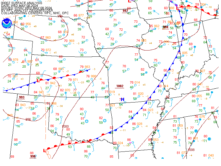
Surface Analysis — Central U.S. (Central)
Satellite

Log in to save this location.
- the dangerous record breaking late season heat wave will continue over the next several days. A heat advisory is now in effect through sunday evening for the entire region.
- there is a 20-30% chance of an isolated shower or thunderstorm this afternoon, mainly near and north of i-64. Lower chances linger thursday into friday.
- relief from the heat and humidity arrives early next week with high temperatures trending cooler into the 80S. Daily isolated showers and thunderstorms will also be possible.
Issued at 1211 PM CDT wed sep 16 2026
The heat wave is the main concern through the remainder of the week with a h5 600 dm ridge of high pressure centered over tennessee this afternoon. Heights between 850-200 mb are maxed out with 30-year return intervals as the hot temperatures and high humidity is extremely anomalous for this time of year. The stout ridge does begin to slowly breakdown this weekend, but it will not be enough to end the heat wave until early next week. In fact, 850 mb temperatures have an uptick on sunday between 21-23c, well above the 99th percentile. Given daily deep layer mixing that extends up to 650 mb on bufkit model soundings, have extended the heat advisory through sunday with daily high temperatures reaching the upper 90S to near 100 degrees.
Although heat index values on sunday are more marginal near 100 degrees, the record or near record breaking temperatures that are 10-15 degrees above normal combined with high humidity levels will continue to elevate heat-related health impacts. With an increase in weekend outdoor actives late in the season, the heat impacts will be greater than normal despite what the criteria may suggest. In fact, multiple records are likely to be tied if not broken over the coming days.
As for any relief in the short term, there is a 20-30% chance of an isolated shower or thunderstorm this afternoon near and north of i-64 due to a stationary sfc frontal boundary, but coverage will be sparse at best. Rain chances in the north are even lower thursday into friday, but non-zero as the aformentioned boundary remains in the vicinity. It will not be until monday into tuesday when true relief from the heat and humidity arrives with high temperatures trending into the 80S as a cold front approaches. Daily isolated showers and thunderstorms will also be possible each day.
Issued at 1211 PM CDT wed sep 16 2026
Sct cigs around 8-10 kft agl will develop this afternoon, with intervals persisting into friday. A stray shower or storm is possible at kmvn through this evening, but the probability is too low to include taf mention. Winds tonight turn light & variable, increasing to 6-8 KTS out of the SW thursday morning.
Issued at 120 AM CDT wed sep 16 2026
Record high temperatures for wednesday, sep 16: cgi: 99 (2019) mdh: 101 (1927) evv: 97 (1897) pah: 97 (2019) pof: 101 (1927)
Record high temperatures for thursday, sep 17: cgi: 96 (2019) mdh: 102 (1927) evv: 96 (1927) pah: 98 (1939) pof: 101 (1927)
Record high temperatures for friday, sep 18: cgi: 96 (2025) mdh: 98 (1925) evv: 99 (1908) pah: 97 (1953) pof: 97 (1931)