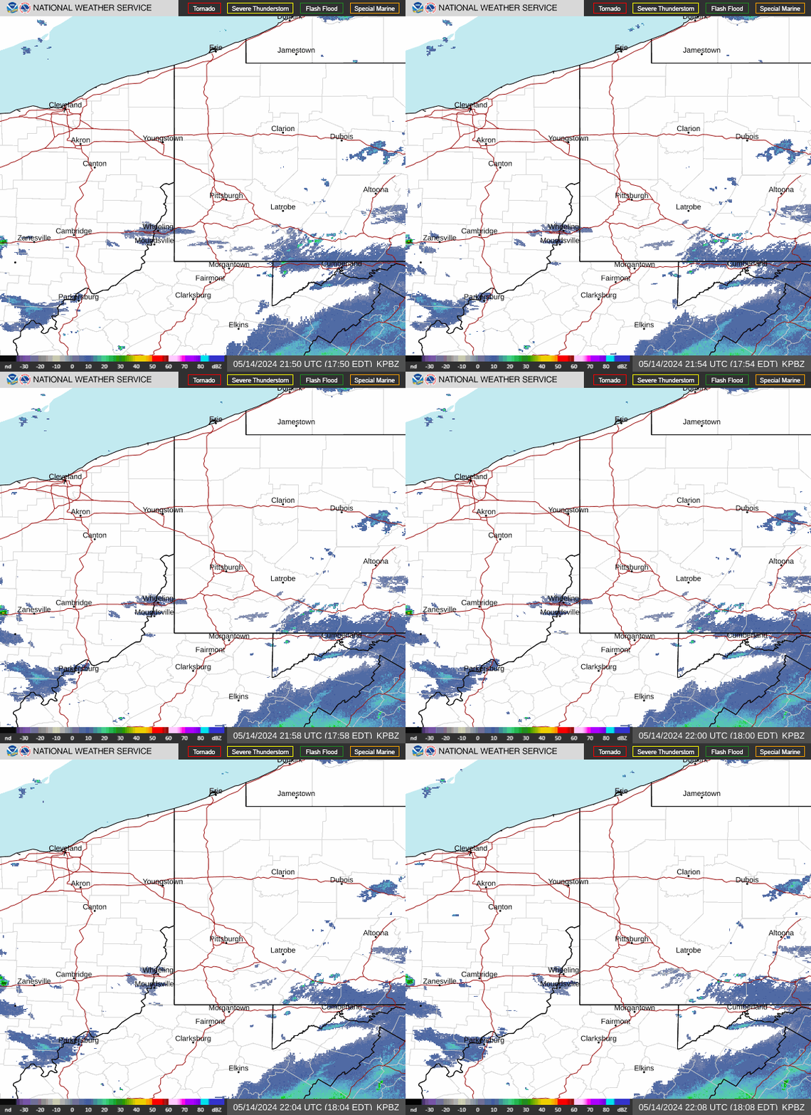
Radar — KPBZ
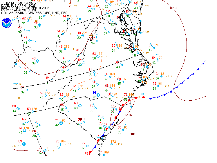
Surface Analysis — Eastern U.S. (Central)
Satellite

Log in to save this location.
Nearest monitored road: Grant Street (Primary)
No large scale changes accompany the latest forecast package as focus remains on a fairly active weather pattern into next week.
1) a few waves of showers and thunderstorms this afternoon through thursday offer risks for flash flooding alongside a nominal wind threat.
2) unsettled weather returns late saturday into next week.
Key message 1... As southerly to southwesterly surface flow continues to push area dewpoints into the upper 60S to lower 70S, moist westerly flow ahead of an incoming shortwave is helping to push area above 1.8" north of i-70 (as low as 1.5" south). This warm, moist airmass (whose pwats are near to above the daily max values for mid september) is setting the template for a shower and thunderstorm environment capable of localized flash flooding this afternoon into thursday. Aiding flood risk factors include slow storm motion less than 20KTS (prolonging heavy rain duration at a given location), warm-rain processes (above freezing layer depth of 15kft aids rainfall efficiency), and modest CAPE around 1500 j/kg (with a bulk within the warm cloud layers that would help rainfall rates reach 1-2"/hr). Though storm initiation/coverage confidence is low (see next paragraph), the stationary surface boundary underneath westerly flow aloft within the abnormally warm, humid airmass could result in training of storms that results in flash flooding.
The lack of a flood watch is tied to uncertainties present caused by the limited lift and jet support in the region. While a surface stationary boundary near lake erie can act as a forcing mechanism, the mid-level jet is fairly displaced northward such that it offers little for storm initiation/coverage. Additionally, weak SHEAR (around 10-15KTS) may limit updraft organization so storms either don't maximize rainfall intensity or maintain long-enough duration for rainfall to reach even the lower flash flood guidance. Finally, increasing cloud cover tonight into thursday should reduce buoyancy enough to again limit efficiency/storm depth even as SHEAR improves by thursday. Given these factors and the lack of a consensus of focus for repetitive storms, no flood watch has been issued despite various ingredients being in place.
Beyond the flooding threat, there is a nominal damaging wind risk this afternoon/evening if a localized storm maximizes available energy and taps into some pockets of drier air aloft (above ~20kft). The lack of SHEAR means a severe storm would likely be a microburst with precipitation-loading aloft, but low probabilities of matching these conditions means threats are unlikely and mostly isolated in nature.
Key message 2... Surface high pressure within brief NW flow supports at least 1 day of dry weather as temperature drops below the 80S (but remains above normal). But the longwave pattern is favored by ensemble models to position upper ridging over the tennessee to lower mississippi river valleys while driving a series of shortwaves over the ridge top through the ohio river valley. The result is more waves of showers and thunderstorms through early next week that, pending the localized storm environment for a given day, could contain various hazard threats.
The most likely hazardous risk over this time frame is flash flood given guidance maintains mean PWAT values between 1.4" to 1.9" inches (between the 90th to above daily max, respectively). This risk could be further exacerbated if the region does experience multiple rounds of heavy rain (even starting tonight/thursday) that causes near-saturated grounds that significantly lowers flash flood guidance. It may be meteorological fall, but summer-like storm risks bear monitoring into early next week.
VFR prevails through this evening with the exception of brief reductions in visibility during times when scattered showers and thunderstorms impact area terminals. Rain showers may linger overnight but decrease in coverage. Meanwhile, prevailing ceilings eventually drop to MVFR from north to south (IFR possible at fkl/duj), though there remains lingering uncertainty regarding just how far the low cloud deck advances. Latest guidance suggests it reaches the i-70 corridor early to mid morning thursday, so maintained that timing in this taf cycle. Outside of thunderstorms, winds remain light and variable overnight then westerly during the day thursday.
Outlook... Additional waves of showers and storms are expected thursday, with more chances for temporary reductions in ceilings and visibilities convective coverage is likely to remain scattered through that time. Improvement to VFR is likely friday.