Weather Lookup

Log in to save this location.

Current Conditions — KPVU

82°F Partly Cloudy
Humidity 37%
Wind 5 mph SSW
Visibility 10.0 mi
Pressure 30.08 inHg
UV Index 7 · High
Air Quality 28 · Good
Sunrise 7:08 AM
Sunset 7:33 PM

Hourly Forecast — Provo,UT

2:00 PM 81°F Slight Chance Showers And Thunderstorms 💨 3 mph SSE
3:00 PM 83°F Slight Chance Showers And Thunderstorms 💨 5 mph SSE
4:00 PM 85°F Slight Chance Showers And Thunderstorms 💨 5 mph SSE
5:00 PM 82°F Slight Chance Showers And Thunderstorms 💨 5 mph SSE
6:00 PM 82°F Slight Chance Showers And Thunderstorms 💨 9 mph E
7:00 PM 81°F Slight Chance Showers And Thunderstorms 💨 9 mph E
8:00 PM 77°F Slight Chance Showers And Thunderstorms 💨 9 mph E
9:00 PM 76°F Mostly Cloudy 💨 12 mph E
10:00 PM 73°F Mostly Cloudy 💨 12 mph E
11:00 PM 72°F Mostly Cloudy 💨 12 mph E
12:00 AM 71°F Chance Showers And Thunderstorms 💨 9 mph E
1:00 AM 71°F Chance Showers And Thunderstorms 💨 9 mph E
2:00 AM 69°F Chance Showers And Thunderstorms 💨 9 mph E
3:00 AM 68°F Chance Showers And Thunderstorms 💨 6 mph ESE
4:00 AM 67°F Chance Showers And Thunderstorms 💨 6 mph ESE
5:00 AM 65°F Chance Showers And Thunderstorms 💨 6 mph ESE
6:00 AM 65°F Chance Showers And Thunderstorms 💨 3 mph ESE
7:00 AM 64°F Chance Showers And Thunderstorms 💨 3 mph ESE
8:00 AM 63°F Chance Showers And Thunderstorms 💨 3 mph ESE
9:00 AM 65°F Chance Showers And Thunderstorms 💨 5 mph ESE
10:00 AM 69°F Chance Showers And Thunderstorms 💨 5 mph ESE
11:00 AM 71°F Chance Showers And Thunderstorms 💨 5 mph ESE
12:00 PM 74°F Chance Showers And Thunderstorms 💨 3 mph S
1:00 PM 76°F Chance Showers And Thunderstorms 💨 3 mph S

Daily Forecast — Provo,UT

This Afternoon 85°F Slight Chance Showers And Thunderstorms 💨 5 mph SSE
Tonight 63°F Slight Chance Showers And Thunderstorms then Chance Showers And Thunderstorms 💨 6 to 12 mph ESE
Thursday 84°F Chance Showers And Thunderstorms 💨 5 mph SE
Thursday Night 59°F Chance Showers And Thunderstorms then Showers And Thunderstorms Likely 💨 8 mph SE
Friday 81°F Showers And Thunderstorms 💨 5 mph SSE
Friday Night 55°F Showers And Thunderstorms Likely 💨 3 mph E
Saturday 76°F Slight Chance Rain Showers then Slight Chance Showers And Thunderstorms 💨 0 to 3 mph WSW
Saturday Night 52°F Mostly Clear 💨 2 to 6 mph NE
Sunday 80°F Sunny 💨 3 mph S
Sunday Night 54°F Partly Cloudy 💨 3 mph NE
Monday 82°F Mostly Sunny 💨 1 to 5 mph S
Monday Night 55°F Partly Cloudy 💨 3 mph NE
Tuesday 82°F Sunny 💨 3 mph S
Tuesday Night 56°F Mostly Clear 💨 5 mph NE

🚗 Road Conditions

Good

Nearest monitored road: US-189 (Primary)

3:45 PM Good
4:00 PM Good
4:15 PM Good
4:30 PM Good
4:45 PM Good
5:00 PM Good
6:00 PM Good
7:00 PM Good

Forecast Discussion — SLC

View Full Discussion on NOAA →

Fire Weather

Monsoon moisture will remain in place keeping humidity elevated through the end of the week. Flood watches are in place across much of southern and eastern utah due to the threat of locally heavy rainfall today through thursday. Moisture will linger into friday, but drier air will start to work in from the west, again limiting the best heavy rain threat to eastern utah. Other than the heavy rain threat, any thunderstorms are capable of producing gusty and erratic winds, lightning, and small hail. By saturday into sunday, a cold front will cross the state brining cooler temperatures and drier conditions again. Looking farther ahead, ensembles are in good agreement about a cutoff low settling in near las vegas, which would help bring moisture northward into southern utah again as early as monday, and supporting shower and thunderstorm chances again next week.
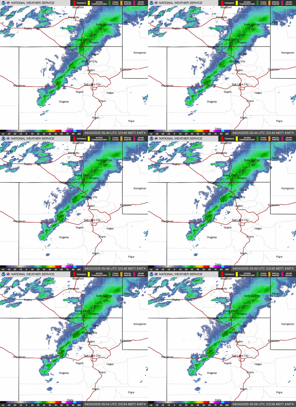
Radar — KMTX

Radar loop for KMTX

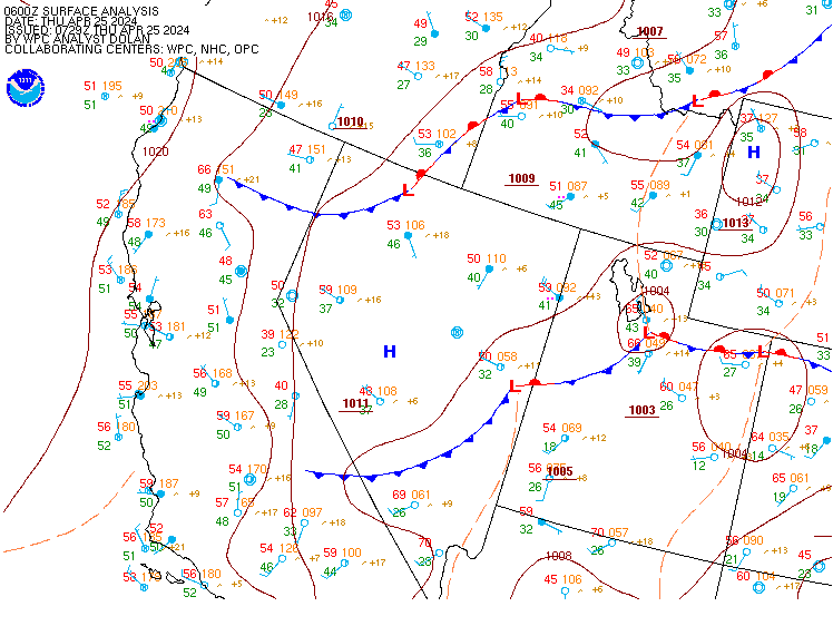
Surface Analysis — Western U.S. (Central)

Surface map for Western U.S. (Central)

Satellite

Satellite imagery
Expanded view