Radar — KUDX
Surface Analysis — Central U.S. (North)
Satellite

Log in to save this location.
Nearest monitored road: US-16 (Primary)
- near daily chances for precipitation through the forecast period.
- at or below normal temperatures expected thursday through the weekend, then warming up through middle of next week.
(this evening through wednesday) issued at 1258 PM MDT wed sep 16 2026
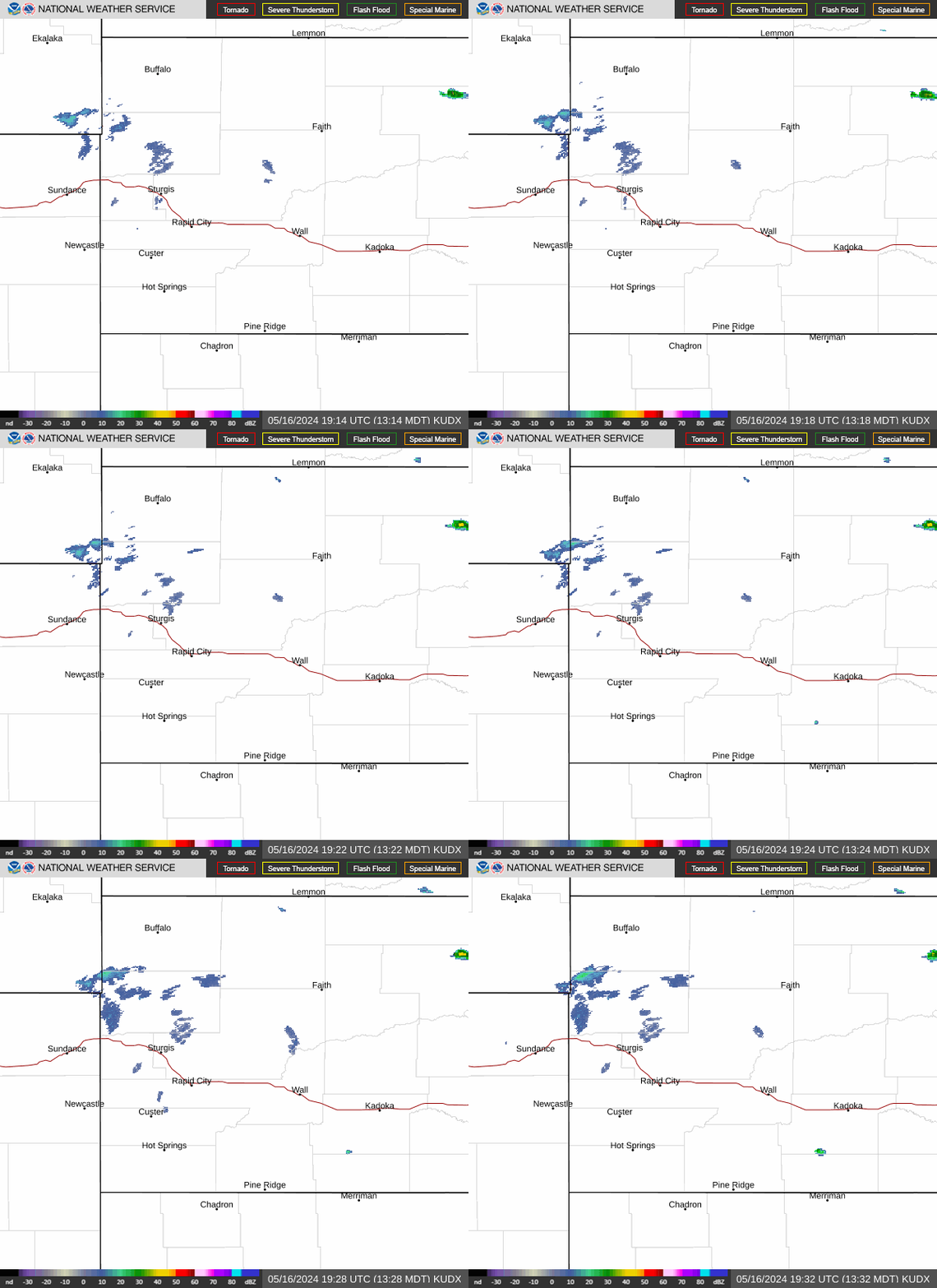
Water vapor and upper air models show southwest flow aloft, as upper high sits over the southeastern conus and upper low sits over northern ca. Weak shortwave currently sits over eastern wy. 18Z surface analysis shows surface low over the nd/mt/sd border with a frontal boundary stretching southwest into wy. Winds are currently breezy out of the south to southeast over most of the forecast area, while northwest winds are ongoing for parts of northeast wy that are north of the boundary. Current temps range from the mid 60S to mid 70S this afternoon.
Lingering cloud cover will likely temper highs a bit today from the previous forecast, otherwise no significant weather expected the rest of the day. Attention then turns to thursday, as a shortwave moves northeast from co through wy and into western sd. With ample moisture from low level southeasterly flow, precipitation is expected to move into northeast wy late thursday morning, and expand into sd throughout the day. Href 24 hour probabilities for 0.5" or more QPF range from 50-90% for much of western sd, mainly everywhere south of hwy 212. Precipitation is expected to move out overnight into friday morning.
Friday will be mostly dry as shortwave ridging sets up over the northern plains, but by saturday the aformentioned upper low shifts over the rockies bringing cooler temperatures and more potential for widespread precipitation saturday and sunday. Severe weather is not expected with either of these disturbances.
Early next week an upper high sets up over the southern plains, and ridging over the central/northern plains will bring a gradual warming trend back to above normal temperatures by tuesday.
(for the 18Z tafs through 18Z thursday) issued at 1221 PM MDT wed sep 16 2026
Gusty winds early this afternoon will trend down and diminish by this evening, with just high-level clouds passing through and VFR conditions. Patchy fog and/or low stratus are possible late tonight/thursday morning over the south dakota plains, but confidence in coverage (and potential to build west toward krap) is low. Next chance of showers and thunderstorms will expand across the region thursday, generally near or just beyond the end of the current taf period.