Radar — KARX
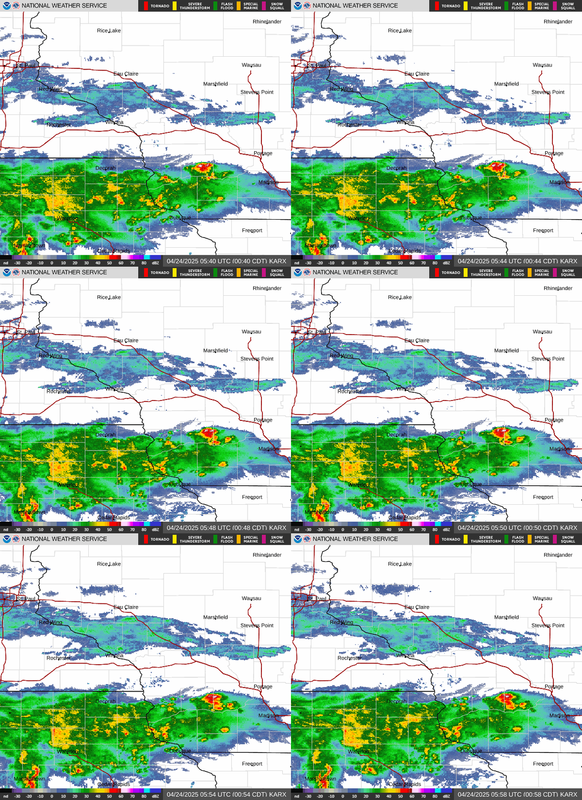
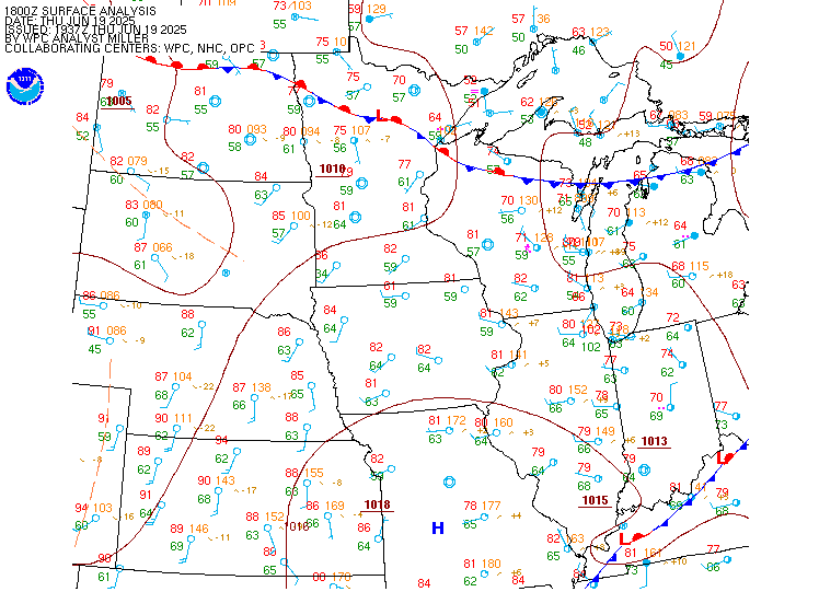
Surface Analysis — Central U.S. (North)
Satellite

Log in to save this location.
Nearest monitored road: 2nd Street Southwest (Primary)
- shower and storm chances (40-70%) return tonight into thursday morning with minimal impacts expected.
- widespread rainfall on friday and saturday with rainfall amounts of 1-3" trending more likely with locally higher amounts possible. Flooding and river rises may occur where the heaviest rainfall amounts fall.
- additional rain chances (20-50%) into early next week with cooler than normal temperatures.
Issued at 217 PM CDT wed sep 16 2026
Tonight - thursday: rainfall potential tonight
Broadly anticyclonic flow continues to move east, allowing for modest moisture return to the region, even as the frontal boundary remains shunted well to our south across central iowa. This will continue to build north through the afternoon hours, increasing pwats, especially along and north of i-90, where they currently sit at less than 1 inch. A shortwave impulse in the entrance region of a passing upper level jet streak will likely create a vorticity lobe and an area of mid-level frontogenesis across central and south central minnesota this evening. As this interacts with increasing moisture building from the south, an area of light to moderate showers is expected to develop/move into the region after 03Z and into the overnight hours. This should mainly impact areas along and north of the i-90 corridor. Areas further south across portions of northeast iowa and southwest wisconsin may also see some shower and weak thunderstorm development along a residual outflow boundary from showers and storms that move through this afternoon and evening. The bulk of the activity is expected to remain to our south across east central iowa but depending on where this boundary sets up, far southern portions of our area could see some thunderstorms with this activity given the modest amount of elevated instability (~500 j/kg) still expected to be present. Rain looks to be over for most by 12Z tomorrow morning with dry conditions expected for much of the day on thursday. With temperatures in the low to mid 70S, enjoy those dry conditions because they won't be lasting for much longer...
Friday - saturday: increasing risk for heavy rainfall, localized flooding possible
A fairly substantial setup for widespread rainfall across the local area is in store beginning friday as a shortwave trough pushes off of the rockies and into the great plains. As this occurs, rapid surface cyclogenesis occurs in much of deterministic guidance with a deepening surface low pushing into the upper midwest. As this low approaches, it will be interacting with an already present quasi- stationary boundary which will allow for a frontal maddox type setup to occur with 850mb moisture transport overriding the front and sloping 600-800mb frontogenesis northwest of the surface low and just north of the quasi-stationary boundary. In the presence of this forcing, weak but notable instability in the GFS/NAM atop this frontogenetic layer will allow for some convection to develop in this forced regime. Consequently, model guidance continues to hint at a few county wide corridor of heavy rainfall where this frontogenesis aloft is maximized north of the quasi-stationary front. Currently, the main forecast uncertainty with this conceptual model is the exact position of the surface low as it tracks eastward and into the region. Given there is a fairly pronounced high pressure center near the hudson bay that will aid in advecting some dry air into the northern periphery of this system, the northern extent of how far heavy rainfall will get remains in question. That being said, the bulk of clusters in the grand ensemble (GEFS/ec/canadian ensemble) keep the axis of the heaviest rain within the local area, with a tendency for areas near and north of i-90 at this time with this system.
While exact location for the heaviest rainfall amounts remains somewhat uncertain, confidence is increasing for heavy rainfall where the strongest forcing manifests. Probabilities within the grand ensemble (GEFS/ec/canadian ensemble) are already very high (60- 80%) for rainfall amounts over 1" within this axis of heavy rain and modest probabilities for over 2" (50-70%). When looking at the rrfs which remains the only cam guidance available at this point in the forecast cycle, this follows this sentiment with a broad swath of 1-3" of rain and pockets of localized amounts over 4", which is to be expected in a convective setup like this. These locally higher pockets are also illustrated in the ec extreme forecast index which has a shift of tails of 1 across the region suggesting some members have rainfall totals approaching the 99th percentile of model climatology. This is shown in some ec members which have amounts of 4-7"+ where the heaviest rain occurs. Consequently, where these higher amounts do fall, river rises into flood stage will be possible along with flash flooding where storms frequent the same locations.
Overall, the main state of the forecast at this point is confidence is increasing for a corridor of heavy rainfall across the region where 1 to 3 inches of rainfall will be common with locally higher rainfall amounts of 4 inches or greater possible. This will likely result in some flooding concerns where this occurs with uncertainty on the exact location of heaviest amounts. An additional thing to keep in mind, is that this rainfall will likely be heaviest from friday evening and into early saturday morning, so any flooding concerns that do take place will likely manifest after dark so be sure to plan in advance to have multiple ways to receive warnings during this time period.
Sunday - next week: cooler, additional rain chances
While rainfall from friday/saturday exits the area, yet another area of rainfall looks to fill its footsteps sunday into monday. A weak cutoff low is expected to trek east through through the north central conus sunday through early tuesday. Accelerated southeasterly flow out ahead of this will provide upper level lift across portions of the mid and upper mississippi river valley. This lift may be enough for surface cyclogenesis to take place with a weak surface low developing across the central plains late sunday. While there won't be as much deep moisture as friday/saturday, pwats still look to be in the 1.25-1.75 inch range for sunday into monday. There is plenty of uncertainty and differing opinions between the ensemble systems as to how the cutoff low will manifest itself and what that will mean for rainfall into early next week but for now will stick with a a broadbrushed 20-55% pops sunday through monday. Any additional rainfall after what's expected friday into saturday, even if it's not expected to be as heavy or as long-lived, may exacerbate ongoing areal/river concerns so this is something that will need to be closely monitored. Ingredients look to be there but details remain a bit fuzzy. With the cutoff low and expected rain chances, highs for the first half of next week will be on the lower side in the 60S, slightly below normal for this time of year.
Issued at 1229 PM CDT wed sep 16 2026
VFR conditions this afternoon and early evening will give way to MVFR and eventual IFR conditions overnight as showers and low-level moisture lower cigs and bring some fog potential to the region. Showers will likely move into the region near or just after midnight with MVFR to IFR reductions likely. Cannot rule out a few thunderstorms given the weak mucape present, however confidence (10- 20%) was too low to include in the taf. Eventually rain departs towards daybreak with lingering low-level moisture bringing some potential for both IFR cigs and vsby reductions during the morning hours. Winds will generally remain light and out of the east throughout much of the taf period.