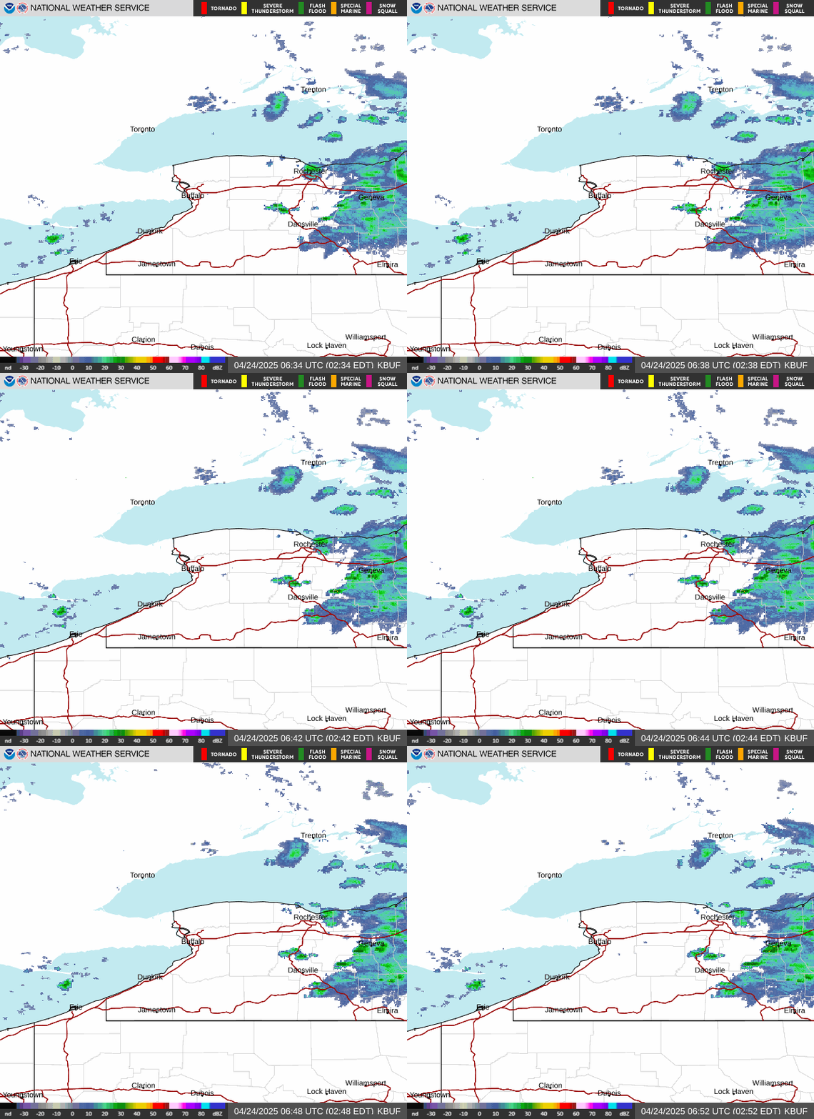
Radar — KBUF
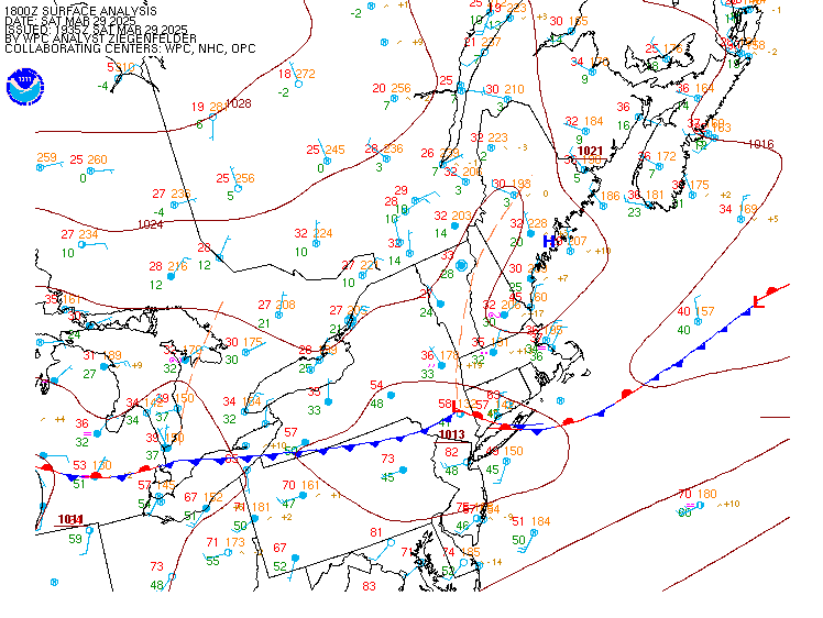
Surface Analysis — Eastern U.S. (North)
Satellite

Log in to save this location.
Nearest monitored road: West Main Street (Primary)
Minor changes to the forecast with this update.
1) a frontal zone stalled just south of the area will bring another period of showers and isolated thunderstorms, mainly late tonight through the first half of thursday.
2) a brief period of drier, cooler conditions is expected thursday night through saturday morning.
3) another period of unsettled weather develops late saturday and continues through early next week.
Key message 1...a frontal zone stalled just south of the area will bring another period of showers and isolated thunderstorms, mainly late tonight through the first half of thursday.
An east-west oriented frontal zone will continue to sag slowly southward towards the ny/pa border through this evening. Weak convergence along the frontal zone will continue to produce a few scattered showers or patchy drizzle through this evening, mainly across the southern tier and finger lakes.
Overnight, a weak baroclinic wave will run east along the stalled frontal zone, forcing the front to lift back north into southern portions of western and central ny. The differential temperature advection pattern forced by the frontal wave will tighten the thermal structure across the boundary, with associated frontogenesis and deformation supporting an area of showers moving from southwest to northeast across the area late tonight through the first half of thursday. There may be just enough elevated instability to support a few isolated thunderstorms, mainly across the southern tier and finger lakes.
PWAT values will rise to near 2.0" along and south of the stalled boundary, and the frontal zone laying out parallel to the mid level flow also fits the conceptual model for locally heavy rainfall from training heavy showers. Most of the recent cams guidance suggests this potential is relatively higher across ohio and pa, with a lower risk extending into the southern tier and finger lakes.
The showers will gradually end from west to east thursday afternoon and evening, with mainly dry weather returning to western ny by early evening.
Key message 2...a brief period of drier, cooler conditions is expected thursday night through saturday morning.
The frontal zone will accelerate southeast and away from the region thursday night as high pressure builds southeast across ontario and quebec. This high will bring a return to dry weather thursday night through saturday morning. Modest cold advection behind the front will bring slightly below average temperatures to close out the week.
Key message 3...another period of unsettled weather develops late saturday and continues through early next week.
Another pacific origin shortwave will round the top of the large ridge of the south central US over the weekend, with increasing forcing and moisture transport spreading east across the great lakes region. Based on latest model timing, first rain chances will arrive in western ny by saturday afternoon, then spread east across the remainder of the area saturday night.
Several waves of low pressure are then forecast to move east over the southern great lakes region through early next week. Model and ensemble guidance begins to diverge on the placement and timing of the frontal zone and various waves of low pressure by sunday and monday. The pattern will need to be monitored for heavy rain risk, given the elongated east-west frontal zone laying out parallel to the mid level flow with ample moisture poised just south of the boundary.
An east-west frontal zone will continue to sag slowly southward towards the ny/pa border through this evening. A few scattered showers and patchy drizzle will continue, mainly across the southern tier and finger lakes. Areas of MVFR/IFR cigs will continue across the higher terrain of the southern tier and finger lakes, while the lower elevations of the lake plains and north country improve to mainly VFR.
Overnight, a wave of low pressure will ripple east down the stalled frontal zone, forcing it to move back north into the southern portions of western and central ny. Increased forcing for ascent and moisture convergence associated with the frontal wave will produce an area of showers moving from southwest to northeast across the area very late tonight through the first half of thursday. Pockets of moderate to heavy rain will produce some vsby restrictions, and low stratus will expand late tonight through thursday morning with MVFR for lower elevations and IFR higher terrain. Some of the low stratus may intersect the higher terrain with IFR vsby in hilltop fog/mountain obscuration.
The showers will taper off from west to east thursday afternoon and evening, with gradual improvement in cigs later in the day.
Outlook...
Friday...MVFR cigs early, improving to VFR.
Saturday...VFR deteriorating to MVFR/IFR late saturday through saturday night with rain becoming likely.
Sunday...MVFR/IFR with rain likely.
Monday...VFR/MVFR with a chance of showers, mainly across the southern tier.
A frontal boundary will stall just south of the lower great lakes through thursday, with north to northeast winds in the 10-15 knot range producing a light to moderate chop on both lakes. The front will accelerate southeast and away from the area thursday night through friday as high pressure builds southeast across ontario and quebec, with northwest winds continuing to produce a light to moderate chop. Winds and waves will remain below small craft advisory criteria through at least saturday.