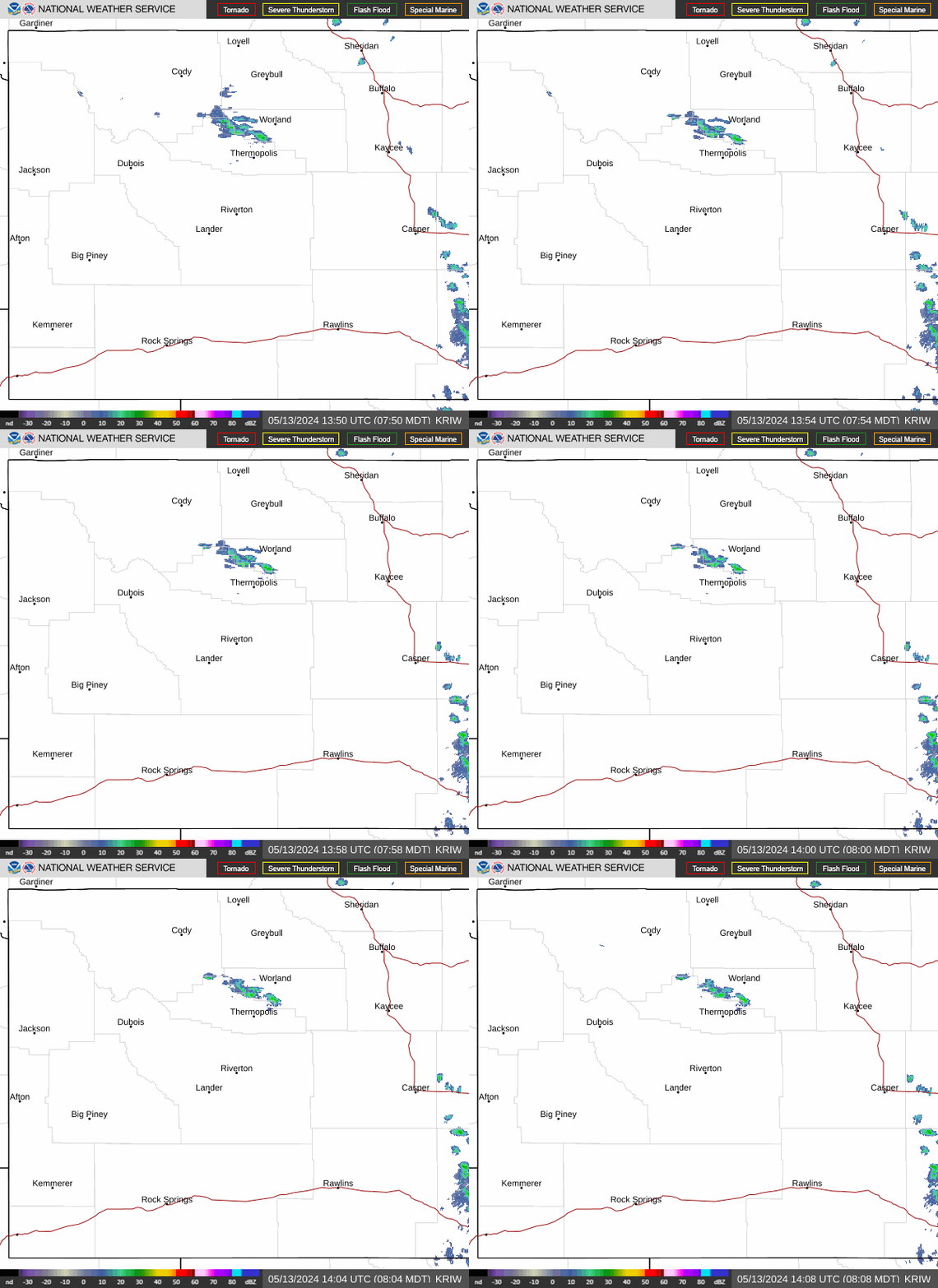
Radar — KRIW
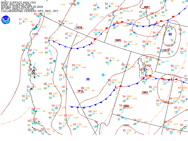
Surface Analysis — Western U.S. (Central)
Satellite

Log in to save this location.
- isolated showers continue across the west tonight with increasing chances early sunday morning.
- a potent, but fairly quick-moving, weather system crosses the area from the west sunday into monday. Widespread rain showers and high elevation snow is expected, with all locations having a chance (at least 50%) to see moisture.
- a cold front brings gusty north winds sunday night through monday. The strongest wind, over 50 MPH, is expected for the bighorn basin and johnson county, though gusty winds occur for much of central and southern wyoming.
Issued at 1237 PM MDT sat oct 31 2026
The main change with this update is the addition of a winter weather advisory for the western wind river mountains. The heaviest snow is expected to occur between about 11AM and 11PM MST sunday, though wind may linger impacts slightly longer. The highest totals are most likely going to be confined to elevations about 9500 feet and higher. Therefore, locations like south pass see lesser impacts, with only a couple inches possible at the highest point. Consideration for an advisory was made for around the tetons. However, snow amounts appear less here, with notable impact locations like teton and togwotee passes not reaching criteria. Still, togwotee pass should see a few inches of snow sunday afternoon and into sunday night, so minor impacts are possible. The other location of interest is the bighorn mountain snow and surrounding lower elevation wind. The timing here is later, and with some lacking confidence, will forgo any highlights for now.
Issued at 120 AM MDT sat oct 31 2026
Well, the day has arrived. Some people think it is the best holiday of the year, and in my opinion it is one of the best. A chance to be someone or something else, and of course, copious amounts of candy. The question is whether or not the weather will be spooky or if the weather will give US a trick or a treat on this last day of october and beyond. Well, you will find out in the discussion, that is why you are here after all.
We still have the two weather systems that will impact the area over the next three days or so. The first is now moving northward through utah and colorado and will cross the area today, lifting northward into montana by later this afternoon. This is the weaker of the two systems. Reasoning remains fairly similar to yesterday. It is that the most numerous showers will occur over western wyoming (as high as a 4 out of 5 chance) with tapering chances further east. A shower can't be ruled out anywhere, but the smallest chance would be in johnson and natrona counties where the chance is only 1 out of 10. The most numerous showers would occur through early afternoon, tapering off later in the afternoon with a lull expected to last most of the night. So, it looks like the weather has given US a treat when it comes to trick or treating earlier in the evening and for any adult gatherings later at night. The main chance of a shower this evening would again be in western wyoming, but the chance is less than 1 out of 4, at least through midnight. As for amounts, the highest amounts would be focused in areas prone to southwest upslope flow, like the western wind river range. The chance of two tenths or greater would be confined to areas west of the divide. Snow levels will remain above 8000 feet through this time as well, so impacts to travel would be minimal.
The main event still looks to be sunday into monday. The main players continue to be a long wave trough that will cross wyoming sunday night into monday with associated upper level low that will pass into colorado and then move northeast, inducing some lee cyclogenesis over colorado. This will also phase with a stream of pacific moisture as it moves into the rockies. It still looks like the deepest moisture and heaviest precipitation will remain south of the area over utah, colorado and the desert southwest, but most areas should see some precipitation from it. And, this will be a tale of two different upslope/downslope patterns. The steadiest and heaviest precipitation on sunday into sunday evening will occur in western wyoming and ares favored by west to northwesterly upslope, mainly to tetons, salt and wyoming ranges, and the western wind river range. Then from later sunday night into monday, as the low passes to the east, the heaviest will shift east of the divide to places favored by northerly upslope as moisture wraps around the developing low. This favors places like from south of riverton to lander and eastward to casper, the southern bighorn basin from thermopolis to south of worland, as well as the cody foothills and the bighorn range. With the north flow, places like the eastern bighorn basin, northern wind river basin, and much of the green river basin would see the least with downsloping flow.
Then there are two more questions, how much total precipitation and potential snow and how much could fall. We will start with precipitation. Most areas, except the southern green river basin, have at least a 1 in 2 chance of a quarter of an inch or QPF between 6 AM sunday and 6 AM tuesday. The aforementioned favored areas that were mentioned above are the areas what have at least a 1 in 2 chance of over three quarters of an inch of QPF in that same timeframe. The greater than 1 in 2 chance of inch or more is largely restricted to the highest elevations though. Precipitation should taper off by sunset monday, with all areas dry by tuesday morning.
Now for the more juicy or should i say, cooler question - what about snow? The air with this system is of pacific origin, and as a result not the coldest in the world. The coolest 700 millibar temperatures look to drop to is minus 4, which would keep snow levels at roughly 6500 feet or higher. So, most population centers and roads outside of the mountain passes would see mainly rain or only wet snow that would not cause many problems. Most locations above 7500 feet should see some accumulation though. As for advisory amounts of snow (6 to 12 inches of snow in the mountains), the chance of this is largely above 8500 feet. However, this does include teton and togwotee passes in western wyoming as well as granite and powder river passes in the bighorn range. We will likely (a greater than 3 out of 5 chance) have some advisories in the mountain ranges. However, with main impact sunday afternoon to monday morning, we will hold off for now and would issue them this afternoon or at this time tomorrow night. As for the chance of greater than a foot, the best chance would be in the bighorn range where there would be a longer period of upslope and wrap around moisture. There are decent areas of a greater than 1 in 2 chance of greater than a foot of snow but these are mainly above 10500 feet and above pass level. So, we favor advisories at this time.
And there is one more concern for monday. As the low deepens over the plains, the pressure gradient will tighten and bring some gusty to strong wind. Some of the latest guidance is showing at least 35 knots of northerly flow at 700 millibar flow across the eastern two-thirds of the area. There are even some 50 knot barbs across portions of johnson county on monday afternoon. The nbm ensemble shows a greater than 1 in 2 chance wind gusts over 55 MPH for this timeframe so we may need a high wind watch for monday as well.
Quieter weather looks to move in for tuesday and wednesday with gradually warming temperatures. A weak system may bring some showers on thursday but it does not look like a big deal at this time. Temperatures should average near to above normal from tuesday to the end of the workweek on friday.
Issued at 331 PM MDT sat oct 31 2026
The next weather system is sweeping in from the southwest, and is already bringing isolated showers to sites west of the divide this afternoon. Timing still looks on track for the more widespread event to start at sites west of the divide around 06Z, with mainly rain, although some mixed in snow may occur around sunrise at the western sites. Clouds will remain MVFR to IFR through the afternoon, with cigs likely at or below 1000 ft. Low clouds and precip spread east of the divide after 12Z, reaching klnd/kriw midmorning and remaining sites around 18Z. Remaining sites will also have cigs down to around 1000 feet through the day. Krks may start to see some breaks around 00Z, but low cigs will likely continue into the early overnight hours.