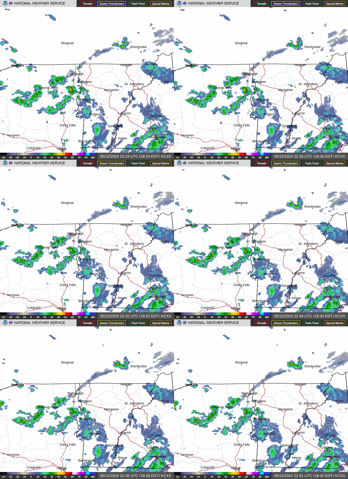
Radar — KCXX
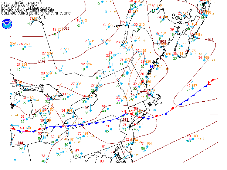
Surface Analysis — Eastern U.S. (North)
Satellite

Log in to save this location.
Nearest monitored road: US-7 (Primary)
As of 235 PM EDT wednesday...
No significant changes.
As of 235 PM EDT wednesday...
1. A few showers tomorrow before dry weather finishes out the week.
2. Chances for showers trending down this weekend, but remaining seasonable cool.
As of 235 PM EDT wednesday...
Key message 1: an area of rain will attempt to move into the region tomorrow into tomorrow night as isentropic lift occurs on a warm front. Uncertainty still exists on how far the northern extent will make it, with the cams generally split. Some members like the HRRR favor a surface low beginning to develop and bring the rain up into central and northern vermont, while others like the NAM keep it more of an open wave and restrict precipitation to southern vermont. Therefore, a period of rain is likely in southern vermont tomorrow afternoon and evening while it is more of a chance for rain farther north. The rain will be stratiform and light, with expected amounts up to around a quarter inch in southern vermont. Surface high pressure builds down from canada friday into friday night, bringing a much cooler and drier airmass. By friday night, temperatures should fall into the 40S and 30S, with patchy frost possible in the colder hollows of the adirondacks and northeast kingdom. Highs will be cooler on saturday with temperatures topping out in the 60S with low humidity.
Key message 2: following a washed out cold front by the end of the work week, trends have continued to move towards the ECMWF solution keeping most, if not all, precipitation south of the area saturday night. The baroclinic zone responsible for the area of potential showers will be draped more over central and southern new york with better forcing southwest of our region. That said, model solutions sunday into monday denote a subtle redevelopment of a surface low in southern new england which could bring some light shower chances to mainly southern vermont. Ensemble variations denote less than 40% of members with rain over our region saturday-sunday. Our flow pattern will remain confluent through the weekend, so any precipitation that does materialize will likely be short lived. Model solutions begin to vary by early next week in terms of precipitation chances. An upper level high over the great lakes will set up a dry corridor from the great lakes into northern new england, while a moisture axis over the mid atlantic attempts to push north. Model uncertainty in how much dry air there is will determine if moisture and associated shower potential are able to penetrate northward into our region, or if dry subsident air keeps our shower chances shunted to the south. Trends have shifted the high a bit east, more centered over our north early next week, which bodes some better confidence in a drier start to next week. Regardless, zonal northwesterly flow will keep our temperatures through the weekend into early next week on the seasonably cool side with highs fairly consistent in the mid to upper 60S, and lows in the low to mid 40S, with some cold hollows hovering about the upper 30S. A sign of the changing seasons, our upper air pattern in the ensembles is beginning to show hints of some cad by tuesday, as the high to our north shifts further east, which would lead to some cool trapped air east of the greens by mid next week. Sky conditions favor mainly cloudy conditions through the extended.
Through 18Z thursday...calm weather is expected to continue for the next 12 or so hours before a frontal system begins to move through the area. Most sites are seeing ceilings 3500-5000ft agl, with terrain influences leading to high MVFR cigs at slk. Ceilings will turn more scattered and rise to 5000-7000ft agl this afternoon. Winds will calm over the next few hours, as they turn more west- northwest by 20-22Z. The challenging aspect to this forecast will be any localized fog and low ceilings potential. Beyond 00Z, clouds will hover and gradually lower back towards 3000-4000ft agl, with models varying on how low ceilings go. Observations upstream denote IFR low stratus over northern indiana which is part of our approaching air mass. However, as a cold front slides east tonight, the eastward extend of the frontal passage will determine how north these low ceilings get. Subsequently, a further east passage, may allow for some clearing at efk, enough for brief patchy fog. Confidence for fog tonight is relatively low with expectations for low stratus ceilings, in addition to a detachment from rain. Ceilings will trend towards MVFR 1500-2500ft agl outside of mss/efk after sunrise tomorrow, with shower chances at the end of this taf period. Winds remain light and variable tomorrow.
Outlook...
Thursday night: mainly VFR, with local IFR possible. No sig wx. Friday: VFR. No sig wx. Friday night: VFR. No sig wx. Saturday: VFR. No sig wx. Saturday night: VFR. Chance shra. Sunday: mainly MVFR, with areas IFR possible. Chance shra. Sunday night: mainly VFR, with local IFR possible. Slight chance shra. Monday: mainly VFR, with local IFR possible. No sig wx.