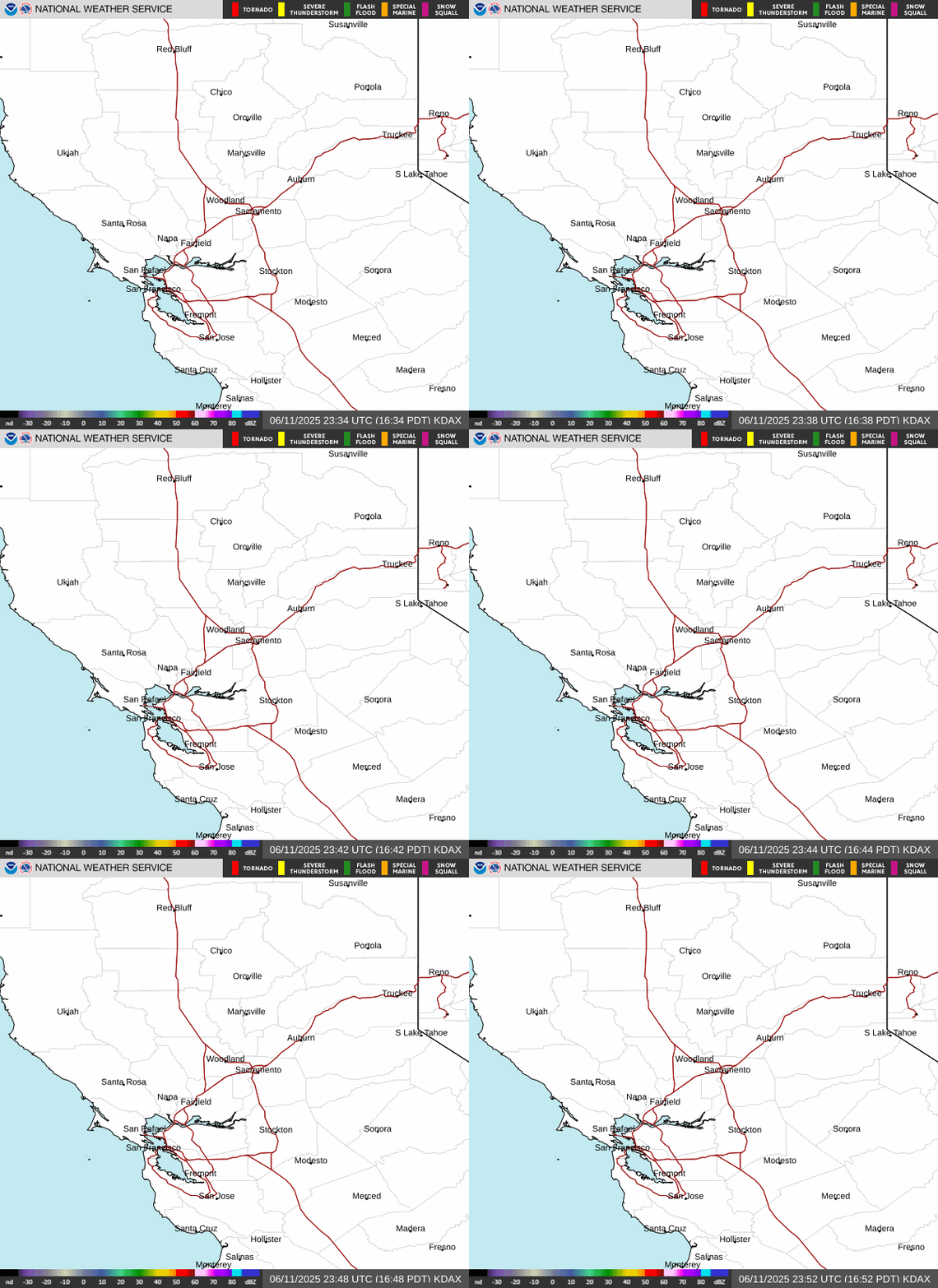
Radar — KDAX
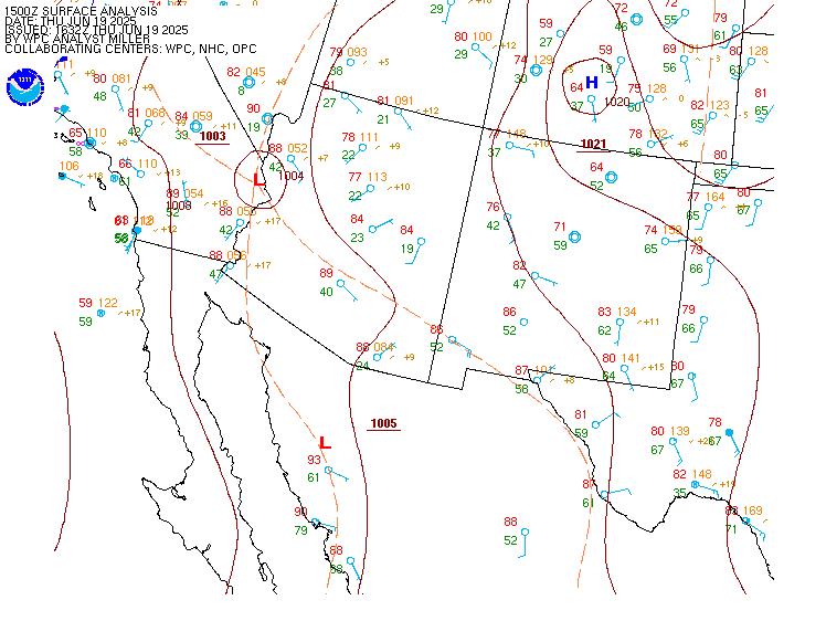
Surface Analysis — Western U.S. (South)
Satellite

Log in to save this location.
Nearest monitored road: I Street (Secondary)
- cooler weather, breezy onshore winds, and increased humidity through thursday - isolated thunderstorm chances through thursday, mainly across coast range, shasta county, and southern cascades
- warming and drying conditions late week and over the weekend with near normal temperatures
Today-thursday: current goes-west visible satellite imagery shows some cumulus clouds developing over the mountains mainly north of interstate 80 so far on this wednesday afternoon. The few low clouds that made it into the valley this morning have dissipated. Surface observations are showing temperatures currently trending approximately 5 to 10 degrees cooler than this time yesterday afternoon.
The upper level pattern will feature an area of low pressure over northern california bringing unsettled weather to northern portions of the forecast area today and thursday. There is a 15 to 20 percent chance for isolated thunderstorms over the coast range, shasta county and southern cascades this afternoon and evening and again on thursday. Storms generally are expected to come with some moisture, however lightning, especially outside the main precipitation core will lead to fire weather concerns for any potential fire starts. With any thunderstorms that develop, additional potential impacts would be brief heavy rain, small hail and gusty winds. When thunder roars, go indoors!
Dry conditions are expected elsewhere for the rest of interior northern california. Temperatures across the forecast area will also trend cooler and below normal for mid september climatology over this period. High temperatures are forecast to be in the 70S to 80S in the valley and foothills, and 50S to 70S in the mountains today and thursday. Higher humidity and breezy onshore winds are also expected. A stronger onshore push thursday morning may bring more marine stratus intrusion to the central valley before dissipating late morning.
Friday-early next week: high pressure builds back in friday and saturday bringing temperatures up closer to normal for this time of year. Dry conditions with lower humidity are also anticipated, along with weak offshore (N to E) flow. Ensemble guidance then indicates some form of upper low off the coast sunday or early next week bringing a period of onshore flow and slightly cooler temperatures before the ridge builds back in. As always, be sure to check the forecast at weather.gov/sacramento for any updates!
VFR conditions continue at taf sites through 06Z thursday with increasing potential for MVFR/isolated IFR cigs in low stratus through the remainder of thursday AM. Highest chances for low stratus development (50-80%) are forecast for the sacramento metro and valley points northward toward rdd. Otherwise, breezy south to west winds persist through 06Z, gradually falling below 12 KTS area wide overnight. Strongest gusts 15 to 25 KTS expected through the delta and into the valley vicinity.