Radar — KMPX
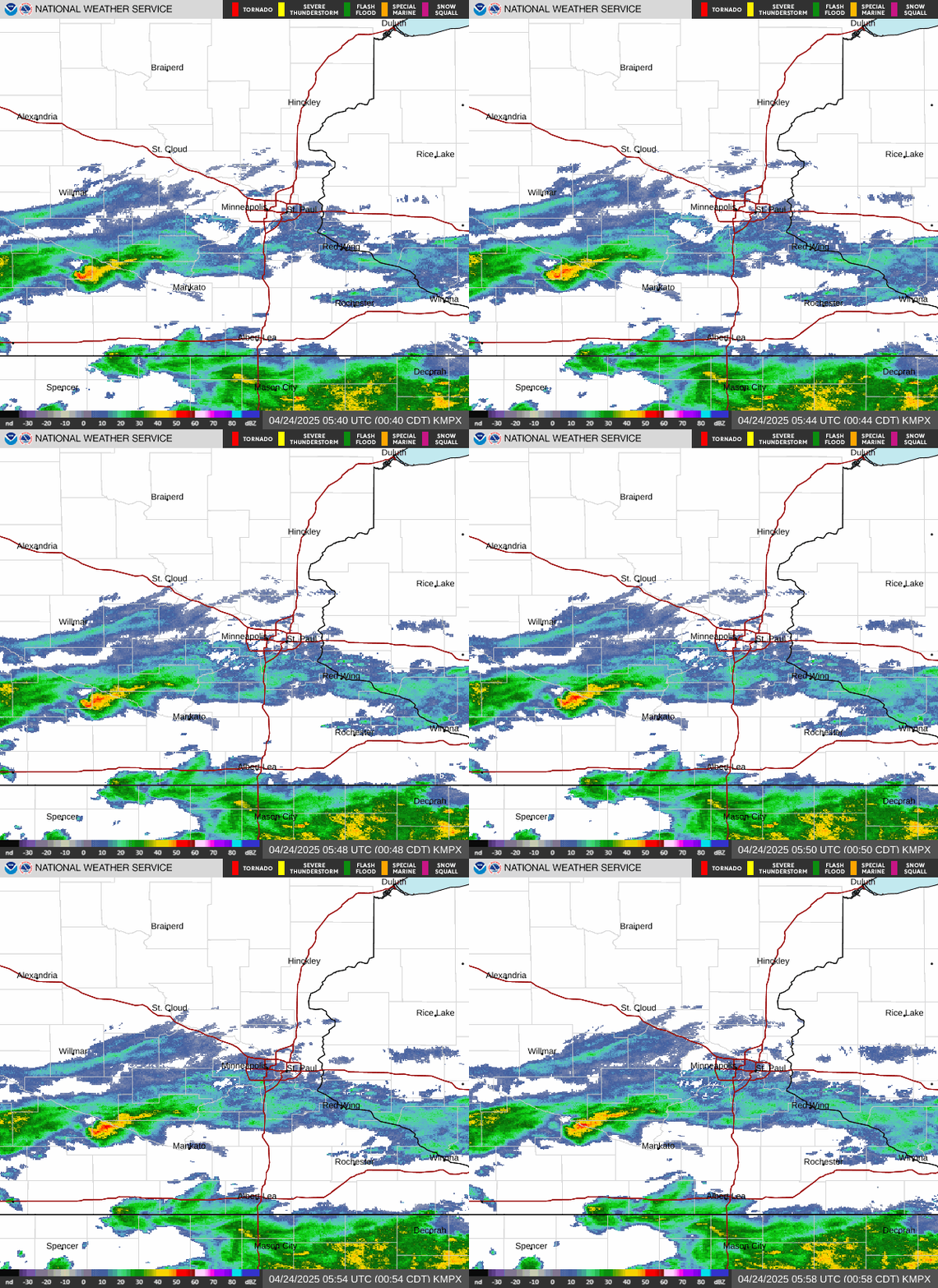
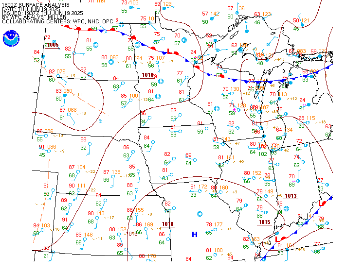
Surface Analysis — Central U.S. (North)
Satellite

Log in to save this location.
Nearest monitored road: Shepard Road (Primary)
- widespread soaking rain is likely friday into early saturday. Broad rainfall totals of 1 to 2 inches are likely, with a narrower strip of 3 to 5+ inches possible.
- quiet weather returns for much of the weekend, with another chance for showers sunday into early next week.
Issued at 331 AM CDT wed sep 16 2026
Mainly clear skies are in place this morning across the region. A few areas of fog have developed, but surface obs indicate they are few and far between and aren't persistent. Temperatures will rebound back to near normal today with highs in the low to mid 70S.
A low amplitude trough will swing through tonight. Scattered showers are expected to develop early this evening across western mn and increase in coverage as they track east tonight. Amounts won't be too impressive with some areas receiving a tenth to quarter of an inch. Another warm day thursday with clearing skies and highs in the mid to upper 70S.
The disturbance responsible for the heavy rain threat friday is currently located in the gulf of california. NHC is monitoring potential development of it before it moves inland today. Given its origin, it will bring a lot of moisture with it as it tracks north across the four corners tonight, the western high plains thursday night, and mn friday. Showers and thunderstorms will develop over the black hills thursday evening as the disturbance reaches the high plains. As it continues toward mn, a 45 KT llj will develop ahead of it and transport +15c to +17c dewpoints at 850 mb northward. Pwats will increase to around 2 inches. The 700 mb low appears will track across central mn, with the 850 mb low a bit farther south from northeastern sd to west central wi, possibly over the metro. The track of the 850 mb low will determine where the 850 mb warm front sets up, and this will influence where the heaviest rain will fall. While confidence remains moderate for now, it appears models are starting to hone in on the area most at risk. The lone outliers are the 00Z ECMWF aifs and rrfs, which paint the axis of heaviest rain along the mn/ia border. The aifs has been shifting north slightly in recent runs, however. The eps-aifs is farther north with its axis roughly from redwood falls to red wing. The aigfs has been making remarkable shifts north each run of the last five. The metro and north was dry 24 hours ago; now it is within the axis of heaviest amounts. The rest of the guidance suite is in that same ballpark generally, with some smaller displacements north or south.
The 12Z ECMWF extreme forecast index (efi) from yesterday highlights central/eastern sd through the southern third of mn for highly anomalous QPF for this time of year. The efi is 0.8-0.9, meaning a huge portion of ensemble members are shifted toward the extreme end of the 5-week ECMWF reforecast climatology over the past 20 years. Even more impressive, the shift of tails (sot) is up to 2 across portions of sd, which signifies at least 10% of ensemble members are 2 standard deviations above the 99th percentile of climatology. Simply put, this may be an extreme event. The efi and sot charts are available in 24-hour periods (00Z-00Z). Since our region will experience heavy rain split between two forecast periods, the probabilities naturally drop off as it passes through mn and western wi, but the threat is just as great here.
Confidence is high most of the area will receive an inch of rain. Confidence begins to drop off with the placement of the heaviest axis and the magnitude of totals. For now it appears the heaviest axis will likely fall from between willmar and redwood falls, east to the southern tc metro, to the eau claire and la crosse areas but this is subject to further shifts. As for QPF, there is widespread agreement among many models that a stripe of at least 3 inches will fall somewhere and possibly greater than 5 or 6. Despite the ongoing drought, this may result in flooding concerns, particularly if it falls in an urban area. Flood watches may eventually be needed.
The front will temporarily settle south behind the friday system, bringing drier weather saturday. Another system, a larger upper low over the rockies, will push east sunday into early next week. This should lift the front back north and bring an unsettled period next week.
Issued at 103 PM CDT wed sep 16 2026
Scattered high clouds will begin to be replaced by broken mid-level clouds later this afternoon through the evening. A disturbance will be moving in and producing chances for scattered -shra and have maintained prob30 groups, but adjusted timing some based off of latest hi-res guidance. Once the rain chances move east, MVFR cigs will move in tonight as well as a potential for IFR ground fog to develop for a few hours around sunrise tomorrow morning. Se'ly winds this afternoon become light and variable tonight then shifting E to ne'ly tomorrow morning.
Kmsp...not much change since the previous taf except for nudged back timing for the chance of rain showers tonight mainly between 03-07Z timeframe. Flight category will transition to MVFR around 8Z as low- level cigs move in from the west. There is a low-end potential for ground fog to develop but anticipate it to be confined to the river valley just south of the 30S. By about 15/16Z timeframe is when cigs should begin to scatter out back into low-VFR heights. SE winds remain at or below 10KTS for the rest of this afternoon before becoming light and variable, the becoming northeasterly tomorrow morning.
/outlook for kmsp/ thu...VFR. Chc MVFR/-shra late. Wind NE 5KTS. Fri...MVFR. Chc IFR W/-tsra. Wind SE 10-15g30KTS. Sat...VFR. Wind NE 5-10g20KTS.