Radar — KMTX
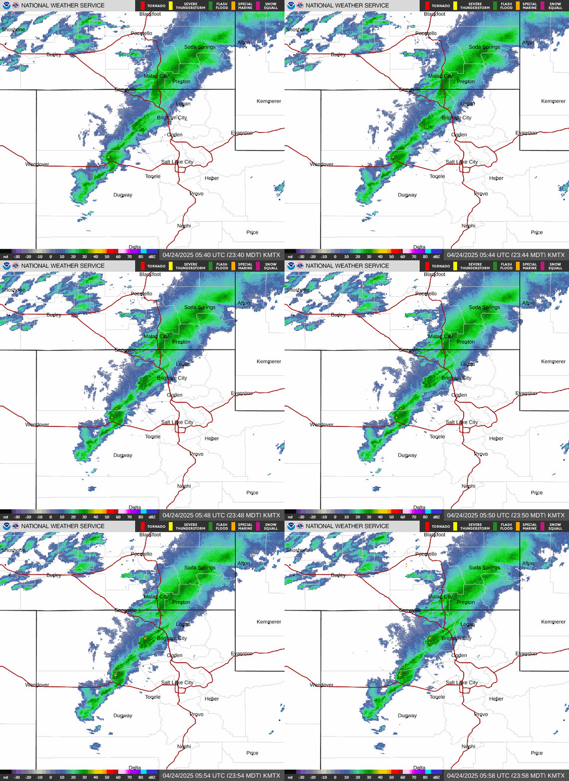
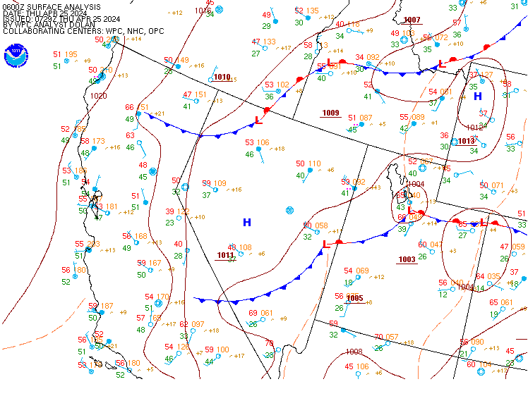
Surface Analysis — Western U.S. (Central)
Satellite

Log in to save this location.
Nearest monitored road: US-89 (Primary)
- flash flooding remains the primary weather risk across southern and eastern utah through friday. Multiple rounds of showers and thunderstorms will bring the threat for locally heavy rainfall.
- a flood watch for flash flooding has been issued from late tonight through thursday morning for much of southern utah, while the watch extends through thursday evening for much of carbon and emery counties.
- a marginal risk for severe thunderstorms (level 1/5) continues for wednesday morning into wednesday afternoon across portions of northern utah.
The main weather threat will continue to be flash flooding, especially across southern and eastern utah. A slow moving upper low over northern california northwest nevada with a broad ridge to our east is helping to direct monsoon moisture northward across utah. While isolated to widely scattered showers and thunderstorms will continue to develop across much of the area this afternoon, the strongest storms with the best threat of flash flooding will be across southern and eastern utah where the deepest moisture and CAPE values to around 1000 j/kg will be in place this afternoon. Forcing will continue increase across southeastern utah by later this afternoon into this evening as a shortwave embedded in the southerly flow evolves northward out of arizona.
As this wave pushes into eastern utah this evening, the moisture and forcing will spread in farther to the west into southwest utah as well with the deep southerly moisture flow favoring storms developing in upslope prone areas from the south, such as the pine valley mountains (forsyth burn scar), as well as across the grand staircase east to boulder summit. In addition, the convergence into the terrain around castle county, price, and over the tavaputs will also favor continued thunderstorm development and training. Of concern in southwest utah, including the pine valleys and st george area, is that heavy rainfall will timed overnight, mainly between 9 PM MDT and the early morning hours on thursday. Meanwhile, across eastern utah overnight, as the main shortwave moves through an area of broad light to moderate rainfall is expected, which will help to further saturate the soils and add water into area waterways. This may become a factor into thursday for mainly emery and carbon counties where there will be the highest potential for thunderstorms developing later thursday afternoon through thursday evening off of the central mountains and moving into an environment with 30-35 knots of SHEAR and 500-1000j/kg of CAPE. Training stronger thunderstorms and even a supercell cannot be ruled out there into thursday evening, and when combined with any rain received today and tonight, this may more easily pose a flood risk.
The potential for flash flooding will continue across southern and eastern utah through friday as the upper level low remains to our west allowing the monsoon moisture to remain in place. Finally by saturday, models are in good agreement that the through will finally pass utah brining northwesterly winds ushering in cool temperatures and drier air. However, this drying out trend will be short-lived as ensembles are in good agreement that a cutoff low will park near las vegas, allowing for a return to southerly flow across southern utah which will bring moisture back northward again allowing for daily shower and thunderstorms chances to return again next week.
Kslc...VFR conditions will persist for the kslc terminal through the period. A few lingering showers moving south of the terminal through ~14Z will keep the potential for gusty and erratic winds, but primarily gusty southerlies prevail. Conditions will be mostly dry throughout the day with a few highs. Showers and storms are possible (~25% chance) again tonight.
Rest of utah and southwest wyoming...showers and thunderstorms continue the first few hours of the period, generally ending between 12Z and 15Z. Gusty winds up to 30 knots and brief MVFR conditions are possible. There will be the chance of showers and thunderstorms again wednesday afternoon, but chances generally remain under 30 percent. As better moisture moves into the area starting around 00Z, shower and isolated thunderstorm chances increase for late in the period. Southern terminals should see prevailing rain around 03Z. Models have some disagreement on timing further north, so have mostly prob30 for now, starting about 06Z.