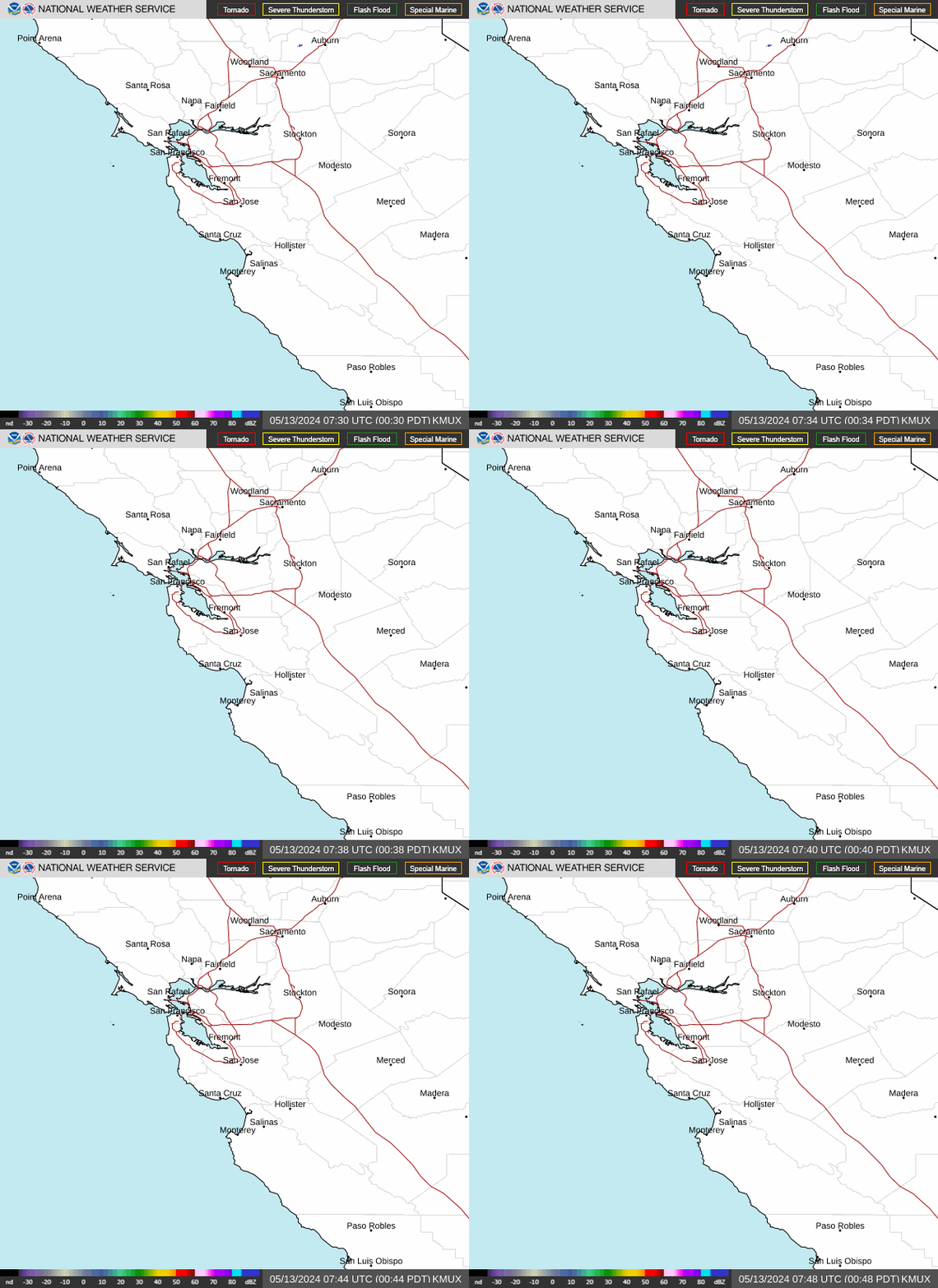
Radar — KMUX
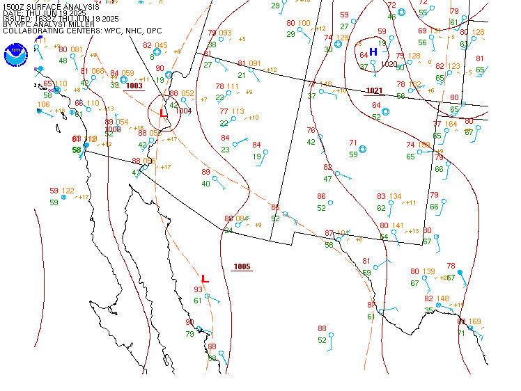
Surface Analysis — Western U.S. (South)
Satellite

Log in to save this location.
Nearest monitored road: US-101 (Primary)
Updated at 1129 AM PDT sat oct 31 2026
- minor coastal flooding at high tide for bayshore and pacific coast locations through the weekend
- seasonal to slightly below seasonal temperatures through thursday
- potential for light rain saturday night and again early in the upcoming week
Issued at 1129 AM PDT sat oct 31 2026 (this afternoon through sunday)
Chances for rain showers remain greatest (20-50%) across the mountains of san bentio county and interior portions of monterey county through the rest of the day today. This is all head of a cold front that will approach from the northwest and move southeastward across the north bay late this evening (between 7 - 11 PM PDT), across the rest of the bay area (between 11 PM PDT - 6 AM sunday PST), and across the central coast (between 1 - 7 AM sunday PST). As the front moves through the region overnight, there is a 10-20% probability of thunderstorms, largely over the coastal waters. Post frontal rain showers may linger offshore and along the monterey county coastline through early sunday afternoon. All in all, rainfall amounts are forecast to be on the light side through sunday afternoon with the greatest probability of measuring >0.25" being in the coastal ranges and lesser amounts as you move farther inland.
By sunday afternoon, expect mostly dry and clearing sky conditions as weak ridging builds in from the eastern pacific in wake of the exiting trough. Temperatures will remain seasonably cool with afternoon highs in the 60S and overnight lows in the 40S to lower 50S with the coldest regions of the north bay potentially reaching into the upper 30S both tonight and sunday night. Again, coastal flooding remains possible along the bayshore locations of the san francisco, san pablo, and monterey bays through sunday at 6 PM PST with the pacific coast dropping off at 6 PM PDT this evening. For more information on that please see the cfwmtr product.
Issued at 1129 AM PDT sat oct 31 2026 (sunday night through next friday)
The next chance for rain across the region will be from early tuesday morning through wednesday morning as an upper level cut- off low approaches the northern california coast from the west. But again, not expecting widespread heavy rainfall from this system. The placement of the cut-off low remains in question from monday night through wednesday. A farther north track would result in less rainfall across the bay area and central coast vs. A more southern track. Dry weather now looks to return for the remainder of next week with a gradual warming trend heading into next weekend.
(00Z tafs) issued at 432 PM PDT sat oct 31 2026
Breezy onshore winds prevail this afternoon with VFR ceilings. Winds ease slightly through the evening ahead of an approaching frontal boundary that will move across the north bay and the bay area between 06-08Z and then the south bay, east bay, and monterey bay terminals between 08-10Z. Keeping VFR conditions through the taf period, with periods of VFR-MVFR ceilings as the rain showers move over the terminals. In wake of the frontal passage, clearing skies are forecast with an increase in northwesterly winds by sunday afternoon and early evening.
Vicinity of sfo...VFR. Onshore winds are forecast to ease late this evening ahead of rain showers forecast to arrive between 06-08Z with sct MVFR ceilings. Northwesterly winds are forecast to increase in wake of the frontal passage with clearing skies.
Sfo bridge approach...similar to sfo.
Monterey bay terminals...VFR. Onshore winds are forecast to ease this evening. Rain showers will arrive ahead of a frontal boundary by around 09Z sunday and begin to tapper off by 15Z, with periods of VFR-MVFR ceilings as the rain showers move over the terminals. Onshore winds and clearing skies are forecast in wake of the frontal passage.
(tonight through next thursday) issued at 432 PM PDT sat oct 31 2026
Through the weekend northwest breezes remain gentle to moderate, becoming variable overnight, as moderate seas persist into early next week. By mid-week, northwest winds increase to fresh with building rough seas across the outer waters. Light rain showers are possible tonight through sunday morning with potentially more to come tuesday into wednesday. A long period southerly swell remains this weekend and combines with a long period northwesterly swell on monday.