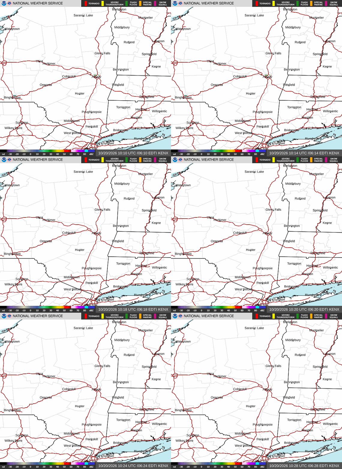
Radar — KENX
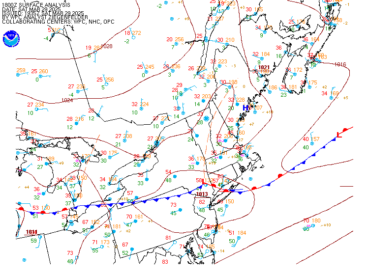
Surface Analysis — Eastern U.S. (North)
Satellite

Log in to save this location.
Nearest monitored road: US-9 (Primary)
No significant changes with this forecast update.
Mostly dry weather is expected this weekend through at least the middle of next week, with increasing chances for rain later in the week.
Key message 1...
High pressure centered over the region will bring mainly clear skies and cool temperatures tonight into sun morning. Lows will be mainly in the 20S across much of the area. After a cool start, temperatures will warm to slightly above normal levels sun p.m. As high pressure shifts south of the area and a SW flow develops. The high looks to be positioned over the mid atlantic region through early next week, with ridging extending north into our area providing continued dry conditions. A warm front may bring a few light showers to the adirondacks tue p.m, but most areas will remain dry. High confidence in above normal temperatures persisting through next week. The next chance of rain arrives later next week thu/fri, although confidence in timing and rainfall amounts is low due to considerable spread in guidance with regards to the pattern evolution of a potential closed low or a more progressive open wave trough aloft and associated cold front passage. Given high uncertainty this far out, 50-60% pops look reasonable during this time.
Through 00Z monday, VFR conditions will prevail through the end of the taf period. Similar to the previous forecast, there is a very low chance (<10%) for some patchy ground fog around sunrise at kpsf and kgfl, however, continued to leave it out given low confidence and large enough dew point depression. Winds become light/variable tonight through early sunday morning. Then winds become west to southwest at 4-8 KT by 15 - 16 UTC.
Outlook...
Sunday night-wednesday: no operational impact. No sig wx. Wednesday night-thu: moderate operational impact. Chance of shra.