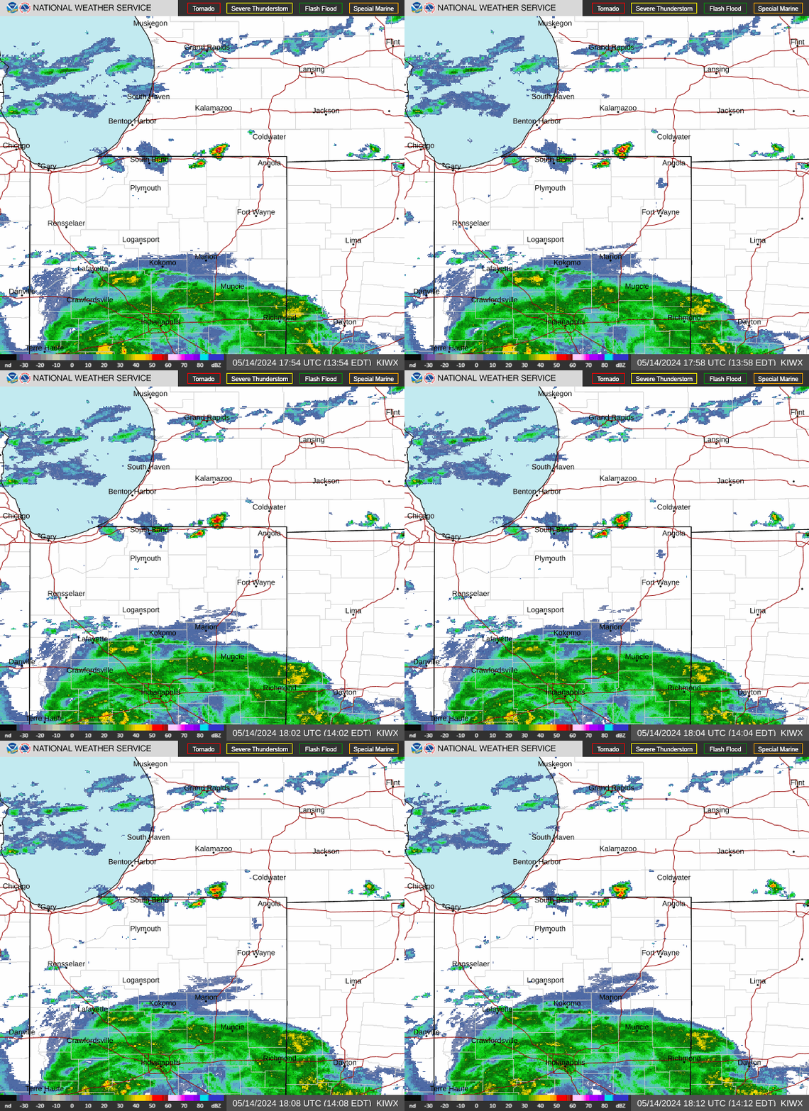
Radar — KIWX
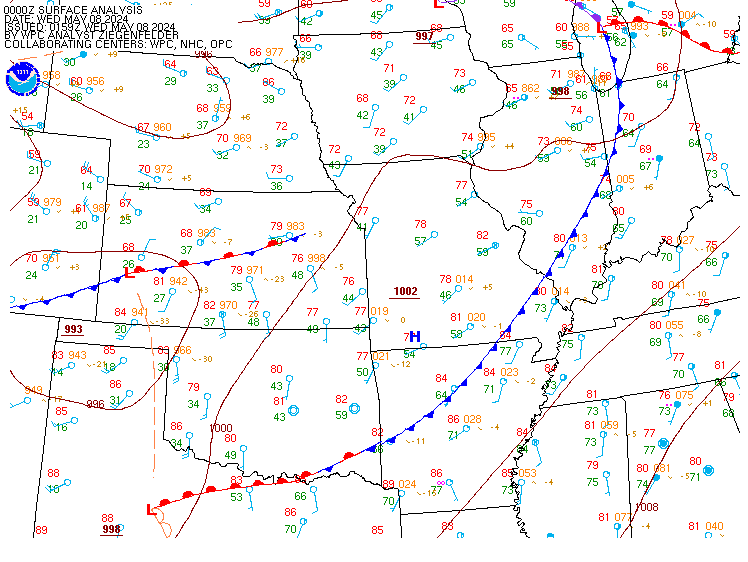
Surface Analysis — Central U.S. (Central)
Satellite

Log in to save this location.
Nearest monitored road: US-SR 933;BUS US 31 (Primary)
- 1 or 2 additional rounds of showers and storms are possible, mainly late tonight into thursday morning. Heavy rain and associated flooding potential are the greatest concern, especially in areas that experienced heavy rain over the past 24 hours. Flood watch in effect for parts of northern indiana
- dry and less humid conditions on friday followed by renewed opportunties for rain and storms this weekend.
Issued at 318 PM EDT wed sep 16 2026
After further discussion with surrounding offices, it was decided to hoist a flood watch from midnight through 2 PM et thursday for the area that experienced the highest rainfall amounts over the past 24 hours (grant, blackford, jay, wells and adams counties). Some areas to the NW and N also had pockets of higher amounts and it could be argued to include them, but given the greatest likihood for additional precip holding off till towards thur morning will defer to later shifts. No other changes have been made.
Issued at 212 PM EDT wed sep 16 2026
A small window of drier conditions should unfold for the next 6 to 9 hours for many areas in the wake of the departing mcv and associated precip. Upstream across il a few showers are developing and can't rule out widely scattered showers and storms later today into this evening in areas that see limited clearing (mainly SE). SPC has maintained the marginal risk for severe in our SE with a low chance for some locally gusty winds from any more organized storms that produce wet microbursts, much like yesterday.
The greater concern lies with flooding potential later tonight into thursday. Most areas across N indiana and to a lesser extent NW ohio have experienced multiple rounds of showers and storms and all signs point towards another round overnight developing upstream and moving ESE along the quasi stationary boundary that will be draped across the area. Pwats continue around 2" and probably even higher with no major change in air mass expected until later thursday into friday. WPC has all but out mi counties in a slight risk for excessive rainfall, which is very reasonable given the setup. While confidence is somewhat higher on at least parts of the area being impacted, some cams (especially the HRRR) develop 2 rounds with one shortly after 6Z across southern areas and then the upstream development arriving towards 12Z thu. While a flood watch could be easily justified given the wet conditions and potential for another 1 to as much as 3 inches in some spots, confidence on timing and location of the heaviest precip remains low enough to hold off on any headlines. Pops have been adjusted to reflect trends with a larger, broadbrushed likely area late tonight into thursday morning with precip then ending from west to east.
Late thursday into friday it still appears that much, if not all of the area should see a breather in rain chances along with somewhat lower humidity. Late friday night into sat this changes as yet another wave moves towards the region which forces the front back north and brings rain chances with it. Hydro concerns will likely remain given the small window of drying.
Issued at 205 PM EDT wed sep 16 2026
Primary aviation weather concern will be on cig trends and potential of additional convection through the period. An mcv type feature is tracking across northern indiana this afternoon with a large portion of the rainfall having vacated the area. A lull in this forcing is expected this afternoon but continued moisture transport and positive low level theta-E advection could give rise to additional isolated-scattered showers and thunderstorms late in the afternoon. With sfc boundary south of the terminals, IFR/MVFR cigs have been noted across the area and would expect this potential to linger another hour or two before better mixing temporarily improves conditions. Another short wave rounding the flattened ridge from the corn belt should help activate another round of showers and storms across ia/il tonight, possibly affecting northern indiana after 08Z tonight into early thursday morning. Will refrain from thunder mention at this time given uncertainty in timing and instability magnitudes, but this will need to be monitored in upcoming forecasts. Higher res guidance also continues to favor IFR cigs redeveloping tonight to the north of the boundary with only slow improvement toward the end of this forecast valid period.