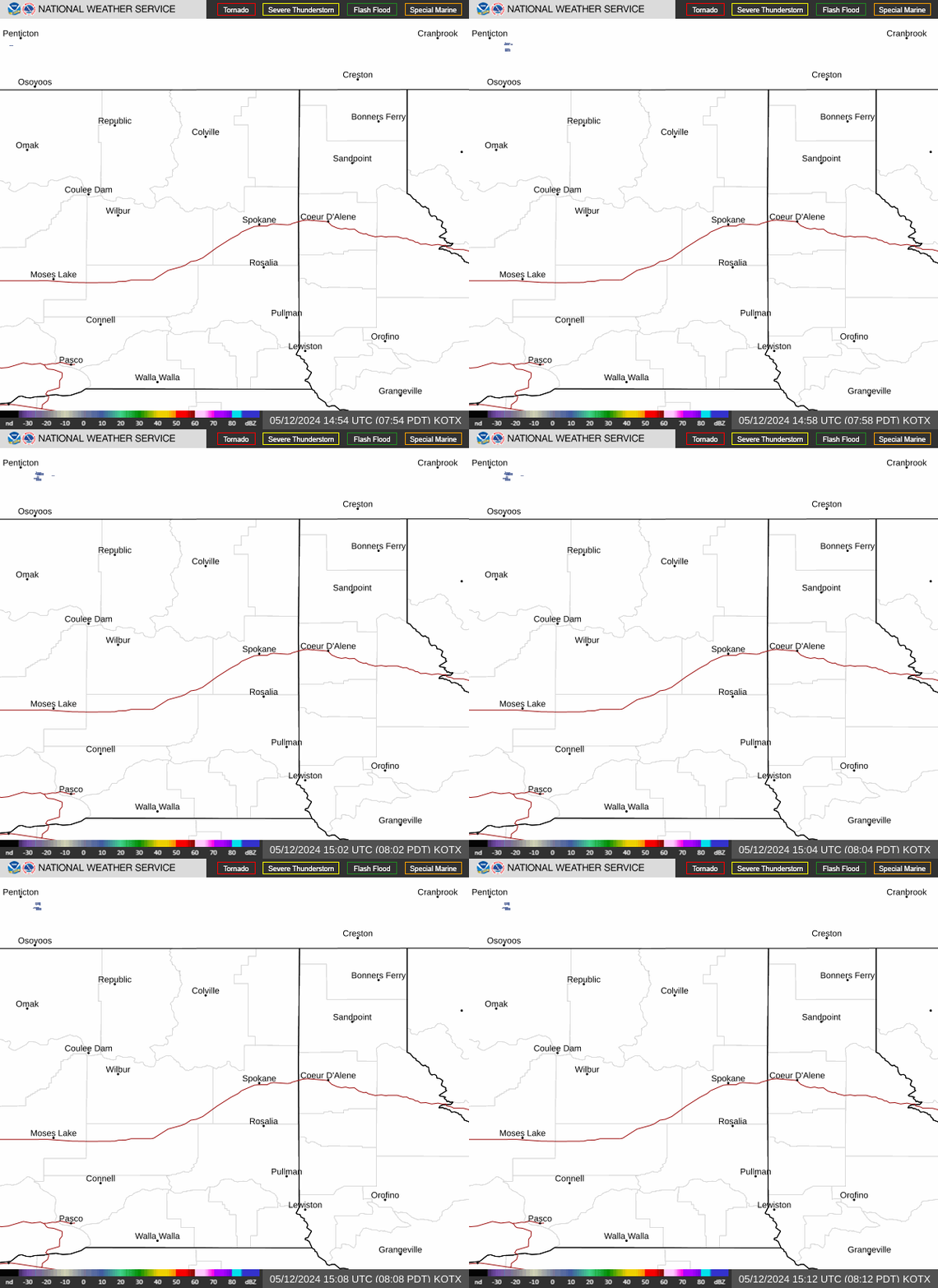
Radar — KOTX
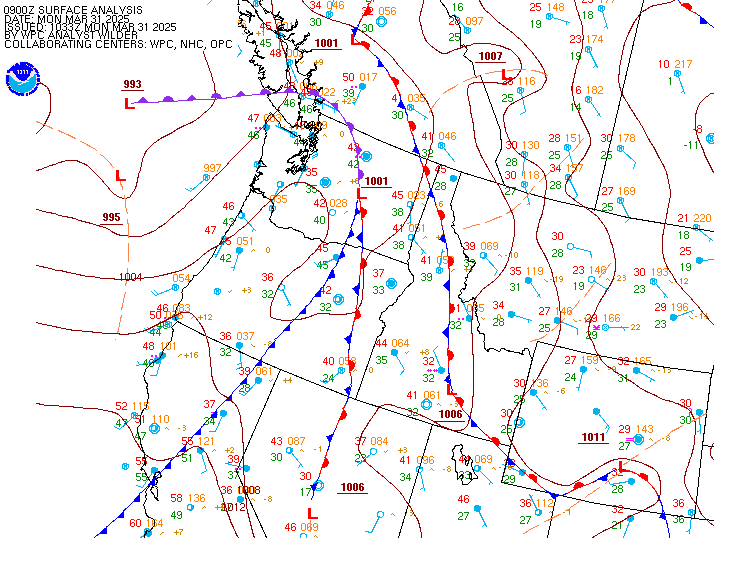
Surface Analysis — Western U.S. (North)
Satellite

Log in to save this location.
- early morning patchy fog.
- cool temperatures, light winds, and 20-60% chance of light rain saturday evening into sunday. Light rain accumulations up to a tenth of an inch expected over southeast wa and the southern idaho panhandle.
- dry conditions sunday evening through wednesday.
Mid and high clouds saturday bring a small chance of sprinkles and showers to southeastern washington and north idaho in the evening. Drier air arrives sunday and conditions remain seasonal and dry through wednesday. Mountain snow showers late week.
Today and sunday: the upper level pattern across the pacific northwest remains under a cool and unsettled flow out of the southwest. Partly to mostly cloudy skies for some areas, while other areas in north-central washington and northern idaho have improved to mostly clear skies on this last day of october. The upper level low pressure system that is digging into northern california is leaving the inland northwest in a cool and fall-like weather pattern for this weekend, keeping temperatures near or just above seasonal normal for end of october/start of november (normal max/min temps for spokane are 49/34 and lewiston 55/38, respectively). Pockets of fog and dense fog arrived early this morning for the west plains, the palouse, and some areas of the spokane metro. Clouds have since cleared for most areas and winds have shifted to more easterly. Chances are low for a repeat of dense fog on sunday given the incoming rain and moisture, but not a zero chance.
Most of the energy associated with the low pressure system has shifted farther south, so earlier predictions (days before) of rain showers for tonight continue to wane and become less. The latest high-res guidance (refs and HRRR) keeps the precipitation chances for the inland northwest confined to the lewiston-pullman/palouse area beginning after 8 PM and closer to 10 PM. The near-surface environment is dry so seeing much in the way of measureable precip more than a few hundredths is unlikely (10% chance of 0.01" through 11 PM). The better chances for and more prominent band of precipitation will arrive between 11 PM and 11 AM. A 40-60% chance of 0.05 - 0.08 rain is expected from lewiston north to cusick, wa and east along the i-95 corridor from lewiston to hayden, idaho.
An influence of cooler and drier air from the west (precipitable water climo values at 100-120% of normal will transition to 70-80% of normal) should keep the chances for precipitation to a narrow period of time this weekend. The energy from the low will shift eastward through the day sunday leaving the start of the week with mild and dry weather.
Monday through friday: high pressure behind the departing system will build into the northwest resulting in seasonal temperatures (near normal for early november) and dry conditions through mid week. One notable change i've seen while looking at the forecast is the introduction of a few hours monday morning (5 - 8 AM) of the potential for freezing rain across the upper columbia basin (hwy 2 corridor) and late monday night overnight into early tuesday morning the chances of snow showers in the cascade mountains. The freezing rain potential noted by the national blend of models is a small period of time and about 20% chance right now. The environment doesn't seem as favorable with dry air and cool but not overly cold temperatures aloft or near the surface. Needless to say, my confidence is not great but i'd be doing a dis-service if i didn't mention the potential. Snow amounts in the cascades above 3500/4000 feet look favorable for several inches of accumulation for wednesday through friday (35-60% chance by end of friday for amounts above 4000 feet). /dewey
00Z tafs: clouds are starting to overspread the inland northwest and chances for light rain increase overnight for eastern wa and north id. Overall, conditions are expected to remain VFR except for kpuw. Uplsope westerly flow into kpuw will lead to ceilings dropping to IFR around 10-12Z sunday. There is a 60% chance this persists until 20Z. Chances drop off into the afternoon but continued westerly flow supports MVFR ceilings to persist.
Forecast confidence and/or alternate scenarios: moderate confidence in IFR ceilings for kpuw. High confidence in VFR conditions elsewhere.
-----------------------
Confidence descriptors: low - less than a 30 percent chance moderate - 30 to 70 percent chance high - greater than a 70 percent chance
For additional probabilistic information for NWS spokane airports, please refer to the aviation dashboard on our webpage: https:/www.weather.gov/otx/avndashboard