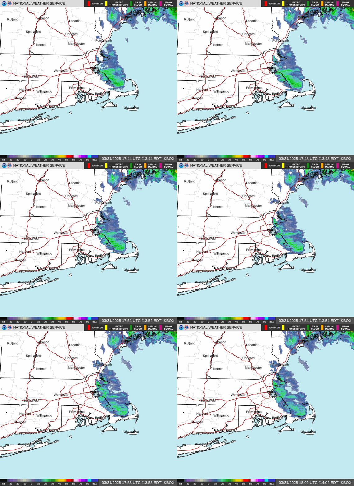
Radar — KBOX
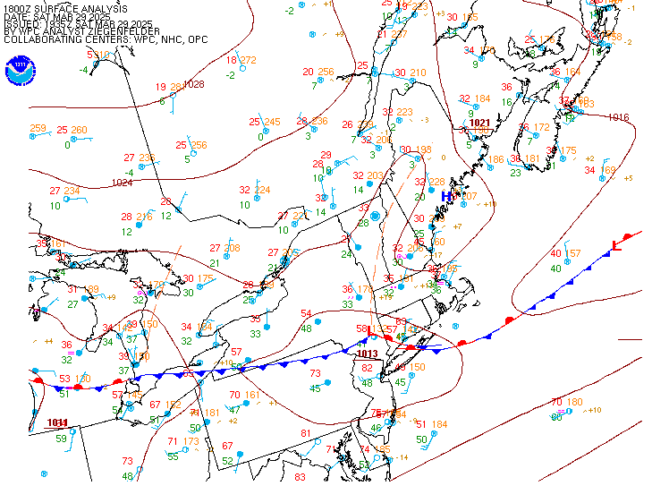
Surface Analysis — Eastern U.S. (North)
Satellite

Log in to save this location.
Nearest monitored road: East Columbus Avenue (Primary)
No significant changes to the forecast.
- dry and cool conditions continue through the weekend.
- dry, seasonably warm temperatures continue through much of the week. The next chance for rain likely doesn't arrive until late thursday or friday.
Key message 1...dry and cool conditions continue through the weekend.
Large high pressure continues to be the primary driver of the pleasant days and cool nights through the weekend. Expecting another night of radiational cooling with calming winds and clear skies to significantly drop temperatures tonight and again sunday night... Overnight lows away from the coast likely drop into the mid 20S tonight and low to mid 30S sunday night. 925mb temperatures warm significantly over the next 24 to 36 hours, up from +3c this morning t0 +10c by sunday evening. This will jump start a warming trend for the week, with high temperatures sunday expected to be slightly higher compared to today... In the upper 50S, possibly low 60S in the ct river valley.
Key message 2...dry, seasonably warm temperatures continue through much of the week. The next chance for rain likely doesn't arrive until late thursday or friday.
Mid level ridging and high pressure dominates the pattern through thursday, continuing the period of dry weather. Anomalously high heights and mid-level temperatures will accompany the pattern favoring above normal temperatures through much of the week. 925mb temperatures ranging between +12 to +15c will yield high temperatures in the 60S each day. Highs around 70 are possible in areas with the highest probabilities thursday as the mid-level thermal ridge axis shifts over.
Ensemble guidance shows a consensus in a shift of the pattern late thursday into friday as a mid-level trough pushes into the region. This may be our next best shot at precipitation, sometime in the late thursday-saturday timeframe. However, there is still a considerable amount of spread across ensemble solutions and deterministic guidance with respect to the track of this trough and its surface features. This will influence details such as precip probabilities, timing, and amounts. Ensemble guidance highlights probabilities 50-75% for 24hr precipitation greater than 0.01", dropping off to low probabilities for greater than 0.5". The ECMWF ensemble has leaned wetter with probabilities closer to 60-80% for 0.01" or greater and moderate probabilities for greater than 0.1". Overall, there is potential for this to be our next chance for rain after a prolonged dry period although confidence is lower in the coverage, timing, and amounts of the rain at this point.
Forecaster confidence levels...
Low - less than 30 percent. Moderate - 30 to 60 percent. High - greater than 60 percent.
00Z taf update:
Tonight through sunday night: high confidence.
VFR. Light NW to WNW winds thru 12Z sunday (calm at times, especially interior). Winds then shift to WSW/SW with speeds increasing to around 5-10 KT, stronger end of that range for eastern airports. Winds remain around 5-10 KT through sunday night.
Monday: high confidence.
VFR. SW winds around 8-12 KT, with sporadic gusts to around low 20S KT range through 22Z/sundown, then gusts ease.
Kbos terminal...high confidence in taf.
Kbdl terminal...high confidence in taf.
Outlook /sunday night through thursday/...
Monday: VFR. Breezy.
Monday night through wednesday: VFR.
Wednesday night: mainly VFR, with local MVFR possible.
Thursday: VFR. Chance shra.
Forecaster confidence levels...
Low - less than 30 percent. Moderate - 30 to 60 percent. High - greater than 60 percent.
Through sunday...high confidence.
Scas have expired as winds have fallen below 25 KTS across most of the waters. Seas gradually subside to 2-3 ft across most of the waters by midnight tonight. Continued high pressure will allow winds to weaken to 10 KT or less and seas to remain around 2-3 ft. Tranquil conditions on sunday with winds around 10-15 KT and 2-3 ft seas.
Outlook /sunday night through thursday/...
Monday through wednesday night: winds less than 25 KT.
Thursday: winds less than 25 KT. Areas of seas approaching 5 ft. Slight chance of rain showers.