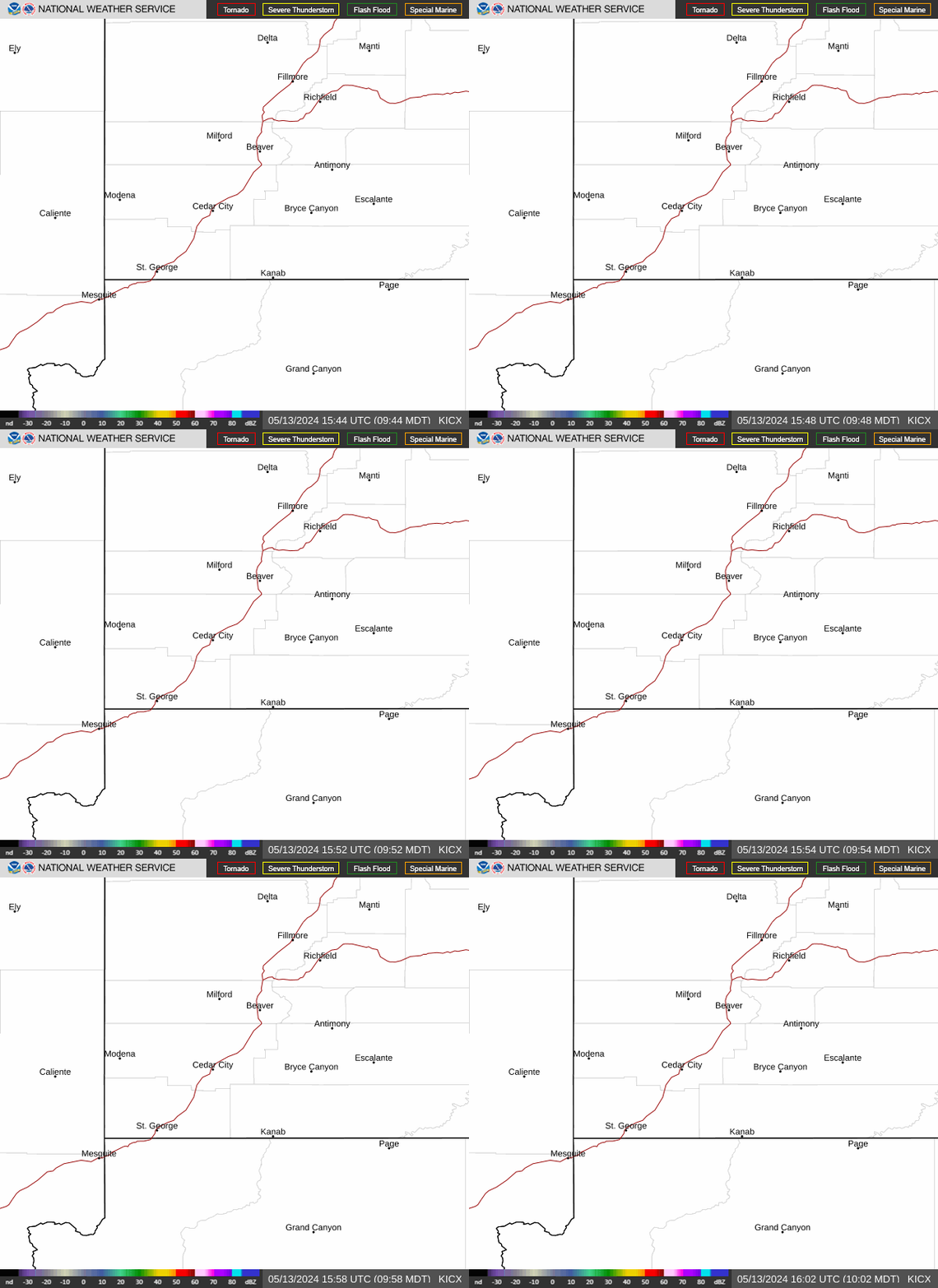
Radar — KICX
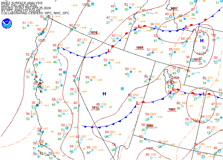
Surface Analysis — Western U.S. (Central)
Satellite

Log in to save this location.
- there is a moderate risk for excessive rainfall (level 3 of 4) across portions of southern utah, as a surge of moisture brings widespread rainfall across the region. A flood watch is in effect for much of southern and east central utah late tonight through sunday evening.
- accumulating mountain snow is expected across all utah mountains sunday through monday morning. Upwards of 12" of snow is expected above 9000 feet, and 3-6" of snow down to around 7000 feet. Upper elevations of the cottonwoods and western uintas may see localized accumulations 18-24".
- cool, dry, and stable conditions will temporarily build in tuesday, with another weak storm system expected during the wendesday-thursday timeframe.
An inland-penetrating atmospheric river (ar) coupled with a deep upper trough spreading into the great basin later tonight through sunday will bring widespread rain and high elevation snow to the forecast area over the next 36 hours. This ar is currently making landfall with widespread precipitation quickly spreading across the lower deserts of southern ca and az. This moisture will quickly spread across the forecast area from south to north overnight, and persist through sunday morning.
The forecast has remained fairly consistent over the past couple of days, with locally upwards of 3" of additional rain across orographically favored areas of southern utah from the pine valleys east to boulder mountain, and 1+ inches of rain in lower elevations including st george, cedar city, zion canyon and kanab. Given recent rainfall over the past few weeks, antecedent conditions are nearly saturated and runoff is expected to be very efficient, resulting in another round of flooding across southern and east central utah beginning late tonight, and continuing through sunday.
As the region of enhanced ivt shifts east of the forecast area sunday afternoon, the upstream trough will spread into the great basin, with increasing large scale ascent interacting with an already saturated airmass to maintain widespread precipitation through the afternoon and into the evening. Cooling temperatures aloft will begin lowering snow levels from west to east during the afternoon, with snow levels falling below 8000 feet by late sunday evening across nearly the entire forecast area excluding the far southeast. As this trough progresses into the central rockies, a favorable period of post-frontal orographics looks to persist along the i-15 corridor through sunday night, before gradually winding down monday morning. Total snow accumulation looks to run in the 3-6" range below 9000 feet, while higher elevations will be pushing 12"+, and perhaps upwards of 20" in the upper cottonwoods. Low elevation rainfall totals will likely exceed 1" across most northern valleys including much of the wasatch front through monday morning.
Mid level ridging will bring temporary dry and stable conditions late monday through tuesday, with a more progressive wave forecast to translate through the region wednesday into thursday. This quick-hitting wave will lack the moisture tap of recent events, thus precipitation totals will remain fairly light. Long range models lean heavily toward longwave ridging building into the region next weekend into early in the following week.
Kslc...occasional rain showers will pass over the terminal through the evening with VFR conditions persisting. Widespread rain will develop around 08Z, and persist overnight and through the day sunday, resulting in predominant MVFR conditions with brief periods of IFR possible within heavier precipitation. Southerly winds will largely prevail overnight through sunday morning, but may become light and variable at times after 12Z. Winds will transition to northwesterly between 20-22Z as a cold front passes through the terminal.
Rest of utah and southwest wyoming...rain spreading across the entire area after 06Z tonight will bring widespread MVFR to locally IFR conditions overnight through much of the day sunday.