Radar — KATX
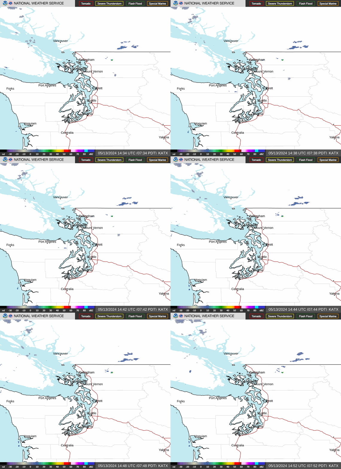
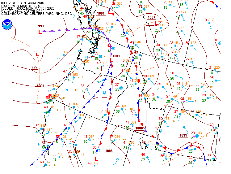
Surface Analysis — Western U.S. (North)
Satellite

Log in to save this location.
Nearest monitored road: South 11th Street (Secondary)
High pressure aloft with a thermal trough building along the coast will promote a warming and drying trend through thursday. Onshore flow will resume on friday, with seasonable temperatures and morning clouds through the weekend. A weak system may bring light showers near the canada border monday, with continued dry conditions and onshore flow favored beyond.
As a low pressure system continues to move southward over the western US, an upper level ridge will continue to build into western washington. Temperatures today will peak right around normal for mid september, with highs in the mid to upper 70S across the lowlands and in the 60S along the immediate coastline. Clear skies will continue throughout the day and into the overnight hours, and combined with light winds and some remaining residual moisture from recent rains, areas of patchy fog are possible once again early thursday morning. However, any fog that develops will be shallow and short-lived, as weak offshore flow continues to promote additional drying. Thursday will bring similar conditions to today, with clear skies and light winds. A thermal trough shifting inland throughout the day thursday will promote additional warming, with highs reaching the mid to upper 70S for most inland areas. Some spots along the cascade foothills and valleys and over the south interior could reach the lower 80S.
Onshore flow will resume late thursday as the upper low over the southwestern US shifts further inland and high pressure continues to build overhead. This will resume more seasonable temperatures, and a marine push early friday morning that will blanket at least some of the interior lowlands. Conditions are favored to improve by friday afternoon, with another round of mostly sunny skies across most of the region, though the immediate coast may stay cloudy throughout the day.
Northwest flow aloft will continue over the pacific northwest through the weekend as the upper level ridge shifts eastward. Onshore flow will continue to promote varying degrees of morning low stratus and mostly sunny afternoons, with high temperatures in the upper 60S to lower 70S. Ensembles maintain a slight chance of light rain on monday over higher terrain near the canada border, though uncertainty still remains over the extent of rain, if any. Dry conditions are favored to continue into the middle of next week with slightly cooler temperatures and sun breaks in the afternoons.
15
Northeast flow aloft continues this afternoon before turning variable late overnight. A return to more northerly flow is expected during the day on thursday as an upper-ridge builds in. VFR this afternoon and for most tonight. Patchy valley fog looks to develop in the early morning hours on thursday but should burn off by 17- 18Z. Can't rule out isolated pockets of LIFR/IFR conditions for terminals adjacent/within valleys (khqm). VFR all areas again on thursday with light offshore flow.
Ksea...VFR today and lasting overnight into thursday. Surface winds N/NE around 8 to 12 knots this afternoon. Winds decrease to 3 to 6 knots overnight into thursday morning - returning 4 to 8 knots.
41
Thermally induced low pressure will expand northward along the coast today then shift inland thursday afternoon. Northerly or weak offshore flow will turn onshore thursday night. Light onshore flow will then persist friday through the upcoming weekend as a series of systems pass well north of the waters. The trend will likely persist into early next week. Generally benign seas are expected.
41
Warm and dry conditions today with high pressure aloft nudging into the region and a surface thermal trough along the coast. The thermal trough will promote weak offshore flow, which will help dry out the low levels through thursday. The warmest day is on track to be thursday, which will coincide with minimum relative humidity decreasing into the low 20S to low 30S across portions of the cascades. The lowest humidities will be concentrated over the northern cascades. The return of onshore flow by friday will help minimize fire weather concerns over the weekend and into early next week as cooler and more moist conditions return.
29/14