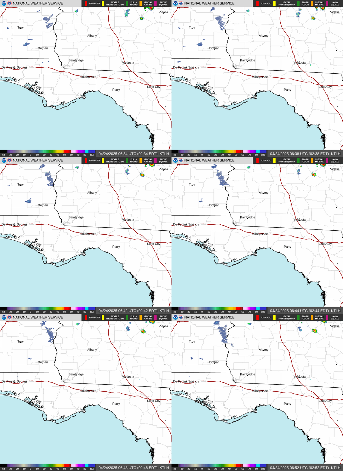
Radar — KTLH
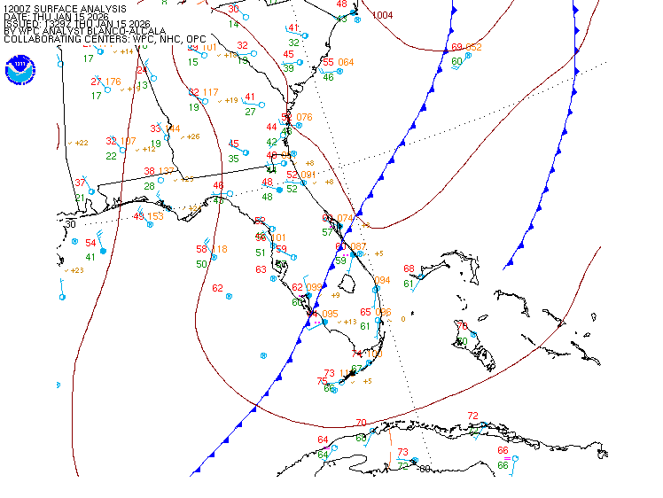
Surface Analysis — Eastern U.S. (South)
Satellite

Log in to save this location.
Nearest monitored road: South Monroe Street (Primary)
Issued at 102 PM EDT wed sep 16 2026
- strong northeast winds will cause hazardous marine conditions across the northeast gulf waters through thursday afternoon.
- a high risk of rip currents at local beaches will continue through late this week.
(this evening through next tuesday) issued at 102 PM EDT wed sep 16 2026
Breezy conditions today with northeasterly winds around 10-15 MPH gusting to 20-25 MPH. Winds will decrease overnight and be a little less breezy thursday as the pressure gradient weakens. The upper level ridge will begin to retreat westward as an inverted trough over the bahamas begins to move west over the fl peninsula into the gulf. As the trough moves westward, our moisture content will begin to return. By the weekend, dew points will be returning to the upper 60S and low 70S, and rain chances return. Showers and thunderstorms will be possible, mainly for our fl counties, beginning saturday, and continue with daily chances in the afternoon. Temperatures for the rest of this term will be in the low 90S, with mid-90S possible friday and saturday over the al wiregrass region. Overnight lows will start in the upper 60S to low 70S, then return to the low-mid 70S by the end of the term.
(18Z tafs) issued at 1237 PM EDT wed sep 16 2026
VFR conditions generally prevail through the taf period. Breezy to gusty northeasterly breezes diminish around sunset with light to moderate easterly breezes continuing overnight. Winds freshen again by mid-thursday morning with gusts generally between 15 to 20 knots expected thursday.
Issued at 102 PM EDT wed sep 16 2026
Strong northeasterly to easterly winds take hold today persisting into thursday afternoon with seas building to 4 to 6 feet with occasional 7 ft seas in our offshore waters. Winds relax to moderate northeasterlies heading into friday, then light to moderate easterlies this weekend. A small craft advisory remains in effect through thursday afternoon.
Issued at 102 PM EDT wed sep 16 2026
Transport winds will remain elevated for thursday afternoon with east-northeast winds around 10-15 MPH and gusts up to 20-25 MPH. The breezy winds will continue to contribute to the pockets of the high dispersions thursday afternoon across the region. Minrh values will range in around 30-40% through friday. Fire conditions improve for friday with fair to moderate dispersions and lighter transport winds around 10 MPH. Afternoon temperatures now through the weekend will be in the low 90S with overnight lows in the upper 60S to low 70S. The next chance for wetting rains returns this weekend, mainly for our florida districts.
Issued at 102 PM EDT wed sep 16 2026
Rain chances return this weekend however, there are no flash or riverine flooding concerns over the next several days.
Spotter activation is not requested. However, spotters are always encouraged to safely report significant weather conditions when they occur by calling the office or tweeting US @nwstallahassee.
Tallahassee 71 90 69 93 / 0 0 0 0 panama city 73 90 72 92 / 0 0 0 0 dothan 68 90 67 94 / 0 0 0 0 albany 67 90 67 94 / 0 0 0 0 valdosta 69 91 68 93 / 0 0 0 0 cross city 72 90 70 91 / 0 0 0 10 apalachicola 75 89 74 88 / 0 0 0 0