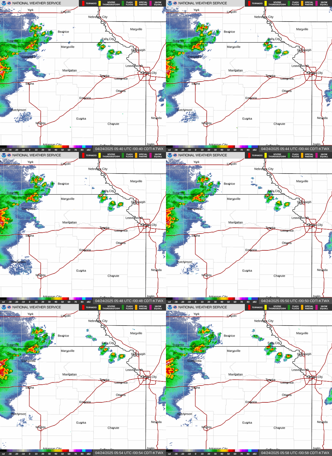
Radar — KTWX
Surface Analysis — Central U.S. (South)

Satellite

Log in to save this location.
- fog development is looking likely tonight, including the potential for locally dense fog along and north of interstate 70.
- above-normal temperatures hold through the end of the week.
- a cold front brings increased chances for showers and storms this weekend along with cooler temperatures to begin next week.
Issued at 214 PM CDT wed sep 16 2026
Southwest flow aloft remains over the central plains this afternoon, wedged between a mid-level ridge across the southeast conus and a closed low over northern california. Yesterday's front has been lifting back north through the day today, allowing for skies to clear from south to north. Temperatures range from the low 90S across east-central kansas to the low 70S near the kansas-nebraska state line. Light winds and high boundary layer moisture set the stage for fog development overnight, some of which could be dense. Coverage of fog and how dense fog will be remains uncertain; will need to monitor observation trends overnight. Isentropic ascent is expected to generate scattered showers and isolated storms tonight into thursday morning, mainly across north-central and northern kansas. Fog and clouds will gradually lift through the morning thursday and afternoon sunshine will help boost temperatures into the upper 80S to mid 90S.
The mid-level ridge retrogrades into friday as the western US upper low slides east into the rockies. A deepening surface low stretching from central nebraska into southeast colorado will tighten the pressure gradient over the forecast area. Given breezy southerly winds, temperatures will likely over perform nbm deterministic solutions and most locations should reach the low to mid 90S. Dewpoints remain in the upper 60S to low 70S, creating afternoon heat indices of around 100 degrees. The surface trough may make it as far east as north-central kansas by friday evening. Sufficient convergence along the boundary could exist to develop a couple of storms in an uncapped and unstable environment. High-based convection and inverted-v soundings would support some strong wind gusts if storms are able to develop.
Troughing ejects across the plains this weekend, pushing a cold front into the area. Timing of the front is still varied among guidance, but the most likely timing of fropa is saturday evening/night. Best chances for precipitation will be associated with frontal passage; the severe parameter space is progged to be at least marginally favorable for some strong to severe storms along the boundary. Chances for showers and storms continue into early next week as more fall-like air works into the region. Highs in the 70S with lows around 60 degrees are forecast monday into the middle of next week.
Issued at 1227 PM CDT wed sep 16 2026
MVFR cigs lift to VFR over the next hour or so. Tricky forecast overnight into thursday morning with potential for low cigs (potentially IFR) and fog reducing vsby. A mix of fog and low cigs is most likely at kmhk, with primarily fog at ktop/kfoe. Have input a first-guess at cigs/vsby, but refinements to timing and flight category will likely be needed.