Radar — KAPX
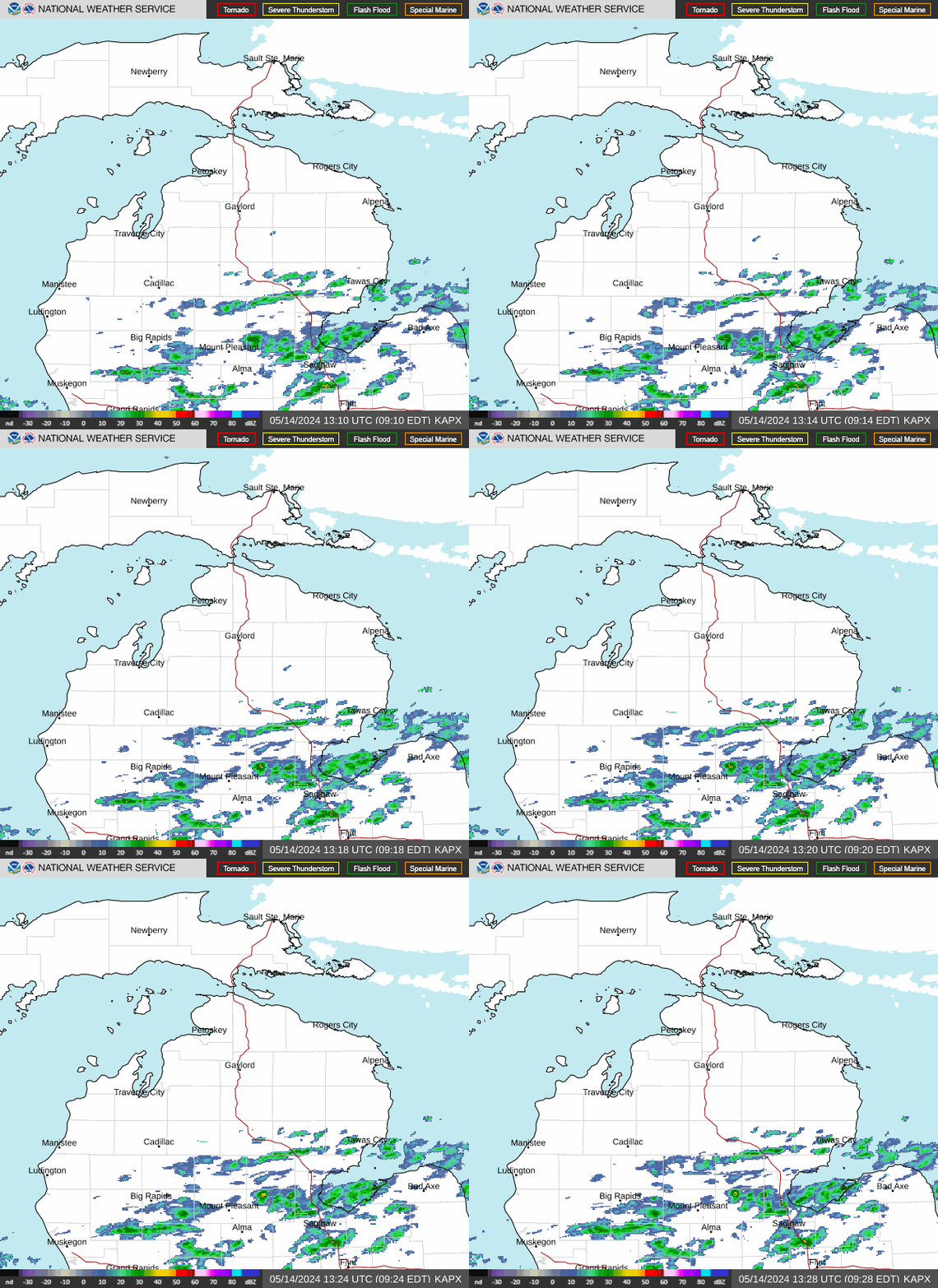
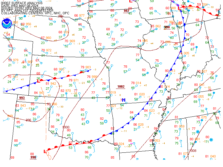
Surface Analysis — Central U.S. (Central)
Satellite

Log in to save this location.
- scattered/light rain shower potential tonight into early thursday.
- potential for another round of rain late friday into the weekend, with the best potential for heavier rain increasing with southern extent, and less rain coverage far north.
Issued at 158 PM EDT wed sep 16 2026
Pattern synopsis/forecast: impressive 600dm 500mb heat dome is centered over the southeast states this afternoon -- some +3 to 4 sd above the climatological mean for mid-september. Meanwhile, fairly zonal flow exists across the north-central and northeast u.S., becoming weakly troughed the farther north into canada you go. Other feature to note is closed upper low pressure digging southward over the west coast while a wave with tropical pacific origins makes headway around the base of that wave into the desert southwest. This latter wave will become the focus this weekend as it ejects into the northern plains by friday, eventually making headway into the midwest and great lakes region late friday into saturday -- pacific moisture aplenty while doing so. All of this to follow a weak northern stream perturbation that's currently trekking across saskatchewan/mt/wy, expected to swing across the western great lakes later tonight into early thursday.
Forecast details: weak wave mentioned above is expected to trek across the region from west to east later tonight into early thursday morning. Uptick in clouds associated with this, along with scattered/light rain shower chances -- primarily after 08Z tonight through late thursday morning. A more favorable environment exists across wi, with less moisture/instability locally, so current trends still point toward a gradual diminishing trend (both areal and intensity) as these showers make it into our area.
Primarily dry conditions return thursday afternoon, with breaks in the clouds becoming increasingly more common. This holds for much of friday, although a gradual uptick in cloud cover through friday afternoon is expected. High temperatures thursday in the low-mid 70S, cooler on friday with daytime highs largely spanning the 60S.
By late friday into friday night, more potent wave is expected to be making progress across the upper ms valley with initial upstream rain and thunderstorm chances approaching. Certainly signals for heavy rain potential, especially in convective elements, friday night through much of the weekend across the western great lakes region, but lots of uncertainty still exists as to where that best potential lies. Lots of this uncertainty hinging on a stationary boundary that'll be draped to our south late this week, and how far north (if at all) that can be drawn. Current confidence is in a solution that brings a swath of potentially efficient rain into parts of northern lower mi (primarily m-72 and south) friday night into early saturday with additional heavy rain chances thereafter focused to our south across southern wi/northern il/northern in and southern mi. This largely fits with wpc's latest long range QPF forecast and day 4-5 eros that focus highest probabilities of potentially impactful rain to our south. Certainly a timeframe that'll be worth monitoring over the coming days.
Issued at 156 PM EDT wed sep 16 2026
Mostly VFR conditions expected through the forecast period. Some ci and diurnal cu across the upper peninsula and tip of the mitt this afternoon...the latter will dissipate by late in the day. Expect to see an increase/lowering of mid level clouds overnight... And maybe some light rain around kmbl closer to daybreak but looks at worst to be some high end MVFR visibilities as ceilings expected to remain at or above 5k feet.