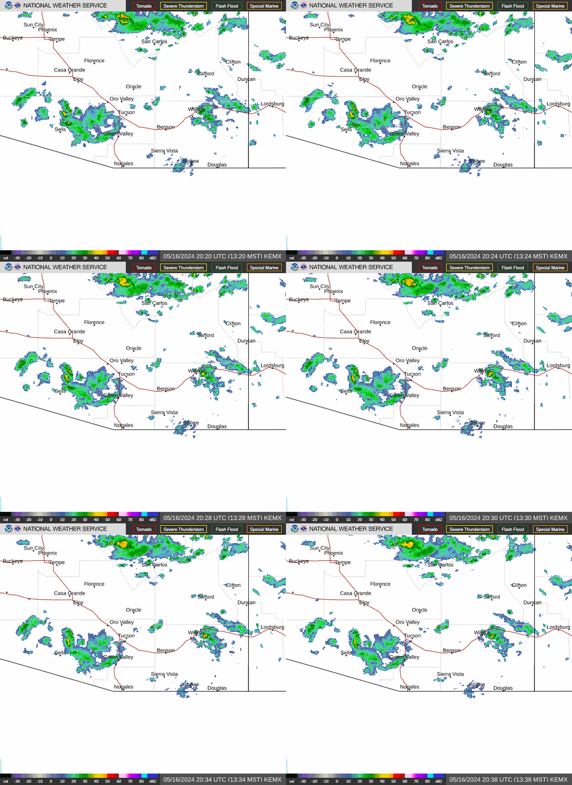
Radar — KEMX
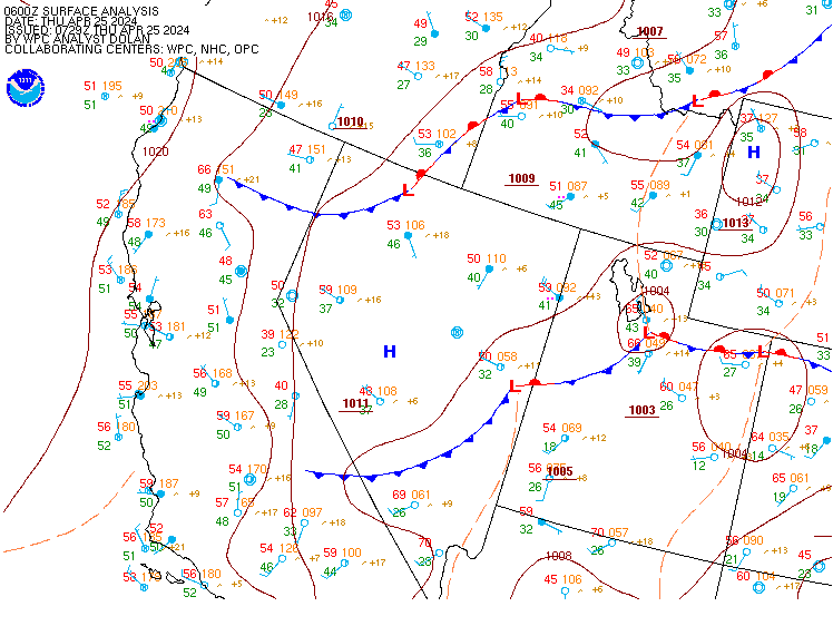
Surface Analysis — Western U.S. (Central)
Satellite

Log in to save this location.
Nearest monitored road: East Broadway Boulevard (Primary)
A weather system moving in from northern mexico today will bring widespread showers and thunderstorms into thursday morning which will be capable of producing heavy rainfall. Drier conditions move in friday limiting the daily chance through this weekend into early next week. High temperatures will be below normal today and thursday, then be around normal friday into early next week.
A very moist atmosphere for mid- september is in place awaiting the dynamics from a small upper low that was south of hermosillo, mx this morning. This feature will swing north across the area today bringing moderate to heavy rainfall to portions of southeast arizona and the increased chances for flash flooding due to moist antecedent conditions. A flash flood watch is in effect until 11 PM tonight.
Satellite imagery showed southerly flow across the area which continues to slowly increase PWAT values into the 1.3" to 1.8" range which is 175%-200% of normal. Radar showing initial area of showers/storms moving into southern cochise county. Expect areal coverage of showers/storms to slowly increase over the next 2-5 hours before more rapid development occurs later this morning as the upper low edges closer to the intl border. Hourly rainfall rates of 1"-2.5" with some of the heavy showers with some storms over 3". The weather prediction center has a moderate risk for excessive rainfall for portions of pima, pinal, and graham counties today.
Thursday: precipitable water remains elevated for this time of year with a slight risk for excessive rainfall continuing east and south of tucson. Showers and storms that develop will still have the potential for locally heavy rainfall, but without the disturbance nearby there will be a lack of forcing to help aid in higher rainfall rates like wednesday.
Friday through tuesday: drier air finally begins to filter into southeast arizona as flow aloft shifts more westerly/southwesterly. This could help limit thunderstorm activity somewhat and keep activity mainly east and south of tucson. High temperatures return to at or slightly above normal.
8 to 14 day outlooks (wed sep 23 to tue sep 29) temperature: leaning above normal, 39-42% chance precipitation: leaning above normal, 39-42% chance
Valid thru 17/12Z. Sct-bkn clouds 7k-10k ft agl with isold -shra/-tsra bcmg thru much of the valid pd. After 16/17Z, sct-num shra/tsra thru end of valid pd. Vsbys nr 1 sm at times with shra+/ts. Gusty and erratic outflow winds to around 35-45 KTS nr strongest ts. Outside of ts, sfc winds sly/swly at 7-12 KTS. Aviation discussion not updated for taf amendments.
A weather system moving in from northern mexico today will bring widespread showers and thunderstorms into thursday morning which will be capable of producing heavy rainfall. Drier conditions move in friday limiting the daily chance through this weekend into early next week. High temperatures will be below normal today and thursday, then be around normal friday into early next week. Min rh values mainly 20 to 45 percent in the valleys and 35 to 65 percent in the mountains over the next week. Rh recoveries will continue to be excellent overnight. Winds will generally remain less than 15 MPH and terrain driven. Gusty and erratic winds will accompany thunderstorms.