Weather Lookup

Current Conditions — KTUP

84°F Clear
💧 Humidity 74%
💨 Wind 0 mph N
👁 Visibility 10.0 mi
🌡 Pressure 29.82 inHg

Hourly Forecast — Tupelo,MS

12:00 AM 81°F Partly Cloudy 💨 0 mph
1:00 AM 81°F Mostly Cloudy 💨 0 mph
2:00 AM 80°F Mostly Cloudy 💨 0 mph
3:00 AM 79°F Mostly Cloudy 💨 0 mph
4:00 AM 79°F Mostly Cloudy 💨 0 mph
5:00 AM 79°F Mostly Cloudy 💨 0 mph
6:00 AM 77°F Slight Chance Showers And Thunderstorms 💨 0 mph
7:00 AM 79°F Chance Rain Showers 💨 0 mph
8:00 AM 81°F Chance Rain Showers 💨 0 mph
9:00 AM 83°F Chance Rain Showers 💨 0 mph
10:00 AM 86°F Chance Showers And Thunderstorms 💨 5 mph NNE
11:00 AM 88°F Slight Chance Showers And Thunderstorms 💨 5 mph NNE
12:00 PM 90°F Chance Showers And Thunderstorms 💨 5 mph NW
1:00 PM 91°F Chance Showers And Thunderstorms 💨 5 mph NW
2:00 PM 91°F Chance Showers And Thunderstorms 💨 5 mph NNW
3:00 PM 92°F Chance Showers And Thunderstorms 💨 5 mph NNW
4:00 PM 91°F Chance Showers And Thunderstorms 💨 5 mph NNW
5:00 PM 90°F Chance Showers And Thunderstorms 💨 5 mph NNW
6:00 PM 89°F Chance Showers And Thunderstorms 💨 5 mph NNW
7:00 PM 86°F Slight Chance Showers And Thunderstorms 💨 5 mph NNW
8:00 PM 83°F Mostly Clear 💨 0 mph
9:00 PM 80°F Mostly Clear 💨 0 mph
10:00 PM 79°F Mostly Clear 💨 0 mph
11:00 PM 77°F Mostly Clear 💨 0 mph

Daily Forecast — Tupelo,MS

Overnight 77°F Mostly Cloudy 💨 0 mph
Wednesday 93°F Chance Showers And Thunderstorms 💨 0 to 5 mph N
Wednesday Night 72°F Chance Showers And Thunderstorms then Mostly Clear 💨 0 to 5 mph NNE
Thursday 92°F Sunny 💨 5 mph NE
Thursday Night 69°F Partly Cloudy 💨 0 to 5 mph NE
Friday 91°F Partly Sunny 💨 0 mph
Friday Night 73°F Slight Chance Showers And Thunderstorms 💨 0 to 5 mph SE
Saturday 90°F Chance Showers And Thunderstorms 💨 5 to 10 mph SW
Saturday Night 71°F Chance Showers And Thunderstorms 💨 0 to 10 mph W
Sunday 86°F Chance Showers And Thunderstorms 💨 5 to 10 mph W
Sunday Night 71°F Chance Showers And Thunderstorms 💨 0 to 5 mph NE
Monday 88°F Chance Showers And Thunderstorms 💨 0 to 5 mph SSW
Monday Night 72°F Chance Showers And Thunderstorms 💨 0 to 5 mph S
Tuesday 90°F Chance Showers And Thunderstorms 💨 0 to 5 mph SSW

🚗 Road Conditions

Good

Nearest monitored road: West Main Street (Primary)

12:45 AM Good
1:00 AM Good
1:15 AM Good
1:30 AM Good
1:45 AM Good
2:00 AM Good
3:00 AM Good
4:00 AM Good

Forecast Discussion — MEG

View Full Discussion on NOAA →

Key Messages

Issued at 647 PM CDT tue jul 28 2026

- seasonal temperatures and reduced humidity arrive by wednesday, offering relief from the extreme heat.

- higher rain chances return to the mid-south late friday and linger into saturday.

Discussion

(this evening through next monday) issued at 1250 PM CDT tue jul 28 2026

Midday temperatures across the mid-south are 2-4 degrees warmer than yesterday. Satellite imagery shows high clouds streaming from the north, which may limit afternoon heating. However, as temperatures already exceed yesterday's readings, no significant changes will be made to the afternoon package. Expect highs in the upper 90S to near 100 degrees, with heat indices reaching dangerous triple digits. An extreme heat warning remains in effect through 8 PM this evening for the entire mid-south.

Most of the area will see relief from oppressive heat starting wednesday as a cold front traverses the region from northeast to southwest. Cams have been inconsistent regarding the spatial and temporal distribution of precipitation associated with the front. While latest guidance remains dry, the presence of a boundary and dew points in the 70S may generate isolated showers. Although temperatures will be slightly cooler area-wide, pooling dew points ahead of the front could boost heat indices into the triple digits again. Portions of the delta, east arkansas, and northeast mississippi may approach heat advisory criteria (105+ degrees) tomorrow.

From tomorrow through friday, a 595+ dam ridge over the rockies will slowly shift east over the plains while weakening slightly. A deepening trough along the east coast will result in strengthening north to northwest flow across the middle and lower mississippi river valley. A cold front associated with a strong shortwave tracking across the midwest will move into the mid- south late friday or saturday, providing the best chance for widespread rainfall in the medium range. Guidance indicates a surface low may develop in the plains and track across the middle mississippi river valley by saturday. Depending on its track, a few stronger thunderstorms are possible late friday into saturday. While the storm prediction center has not yet highlighted the mid-south for severe weather, the situation bears monitoring. Confidence in cooler temperatures through the weekend remains high, with highs near or slightly below normal (generally at or below 90 degrees) and lows in the upper 60S to middle 70S.

Aviation

(00Z tafs) issued at 647 PM CDT tue jul 28 2026

VFR conditions are expected through the period. A cold front will move through the region overnight and early wednesday, which may result in a few shras with the outside chance of a tsra. Will continue the prob30S at mem and jbr with vcsh at mkl and tup. Winds will shift to light N/NE behind the front.

Fire Weather

Issued at 1250 PM CDT tue jul 28 2026

No major fire danger concerns for the foreseeable future as minrh values remain above 40% and 20ft winds stay below 10 MPH.

Radar — KGWX

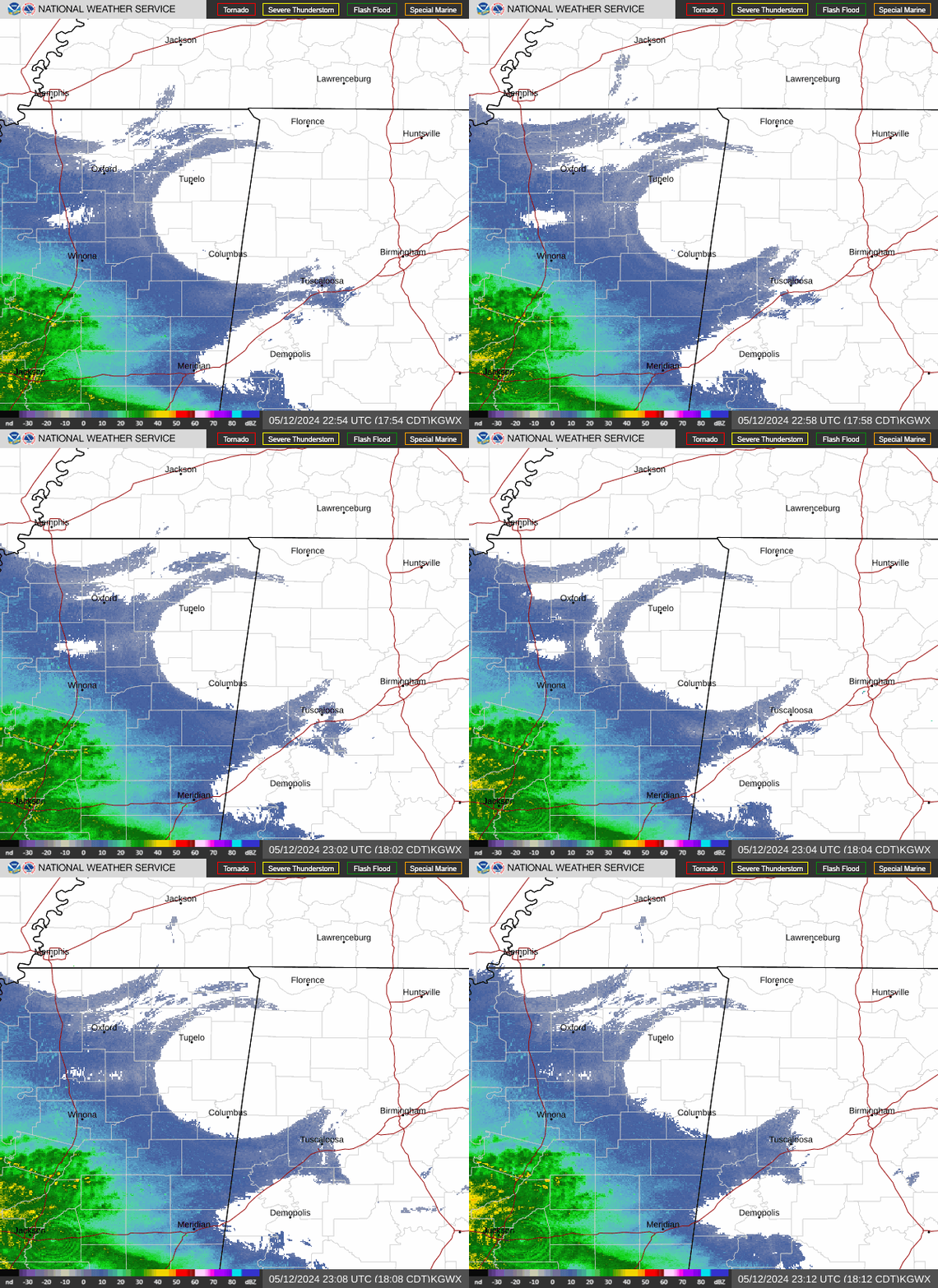
Radar loop for KGWX

Surface Analysis — Central U.S. (South)

Surface map for Central U.S. (South)

Satellite

Satellite imagery
Expanded view